Download
1 / 11
110 likes | 228 Views
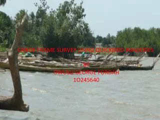
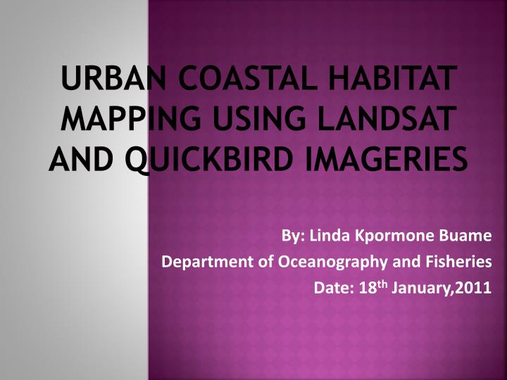
URBAN COASTAL HABITAT MAPPING USING LANDSAT AND QUICKBIRD IMAGERIES. By: Linda Kpormone Buame Department of Oceanography and Fisheries Date: 18 th January,2011. Outline. Background Objectives and Justification Approach Preliminary results. Background.

E N D
URBAN COASTAL HABITAT MAPPING USING LANDSAT AND QUICKBIRD IMAGERIES By: Linda Kpormone Buame Department of Oceanography and Fisheries Date: 18th January,2011
Outline • Background • Objectives and Justification • Approach • Preliminary results Urban Coastal Habitat Mapping using Landsat and Quickbird Imageries
Background • “Coastal habitats are the biosphere’s most imperiled ecosystems.” • Coastal habitats present in Ghana are; wetlands, deltas, mangroves, lagoons, estuaries, sea grass, etc. • This project seeks to provide baseline information (in a digitized format), of critical coastal habitats in the Greater Accra Region. Urban Coastal Habitat Mapping using Landsat and Quickbird Imageries
Objectives and Justification • To classify habitats including ecosystems and investigate the impacts of urbanization on coastal habitats. • To compare and contrast the quality of features shown in Quickbird and Landsat Imageries to identify the most appropriate for coastal habitat mapping. • To understand how Quickbird and Landsat imageries can be applied to the mapping of coastal habitats in urban areas. Urban Coastal Habitat Mapping using Landsat and Quickbird Imageries
Approach • Study Area: Selected coastal areas in Greater Accra Region. a) Quickbird imagery Flowchart showing approach of the project b) Landsat imagery Urban Coastal Habitat Mapping using Landsat and Quickbird Imageries
Preliminary results Binary encoding (file roi) Unsupervised classification – using Iso Data Urban Coastal Habitat Mapping using Landsat and Quickbird Imageries
Preliminary results Decision Tree Classification K- means Classification Urban Coastal Habitat Mapping using Landsat and Quickbird Imageries
Preliminary results Spectral Angle Mapper Classification Minimum Distance Classification Urban Coastal Habitat Mapping using Landsat and Quickbird Imageries
Preliminary results Normalized Difference Vegetation Index (NDVI) calculation Urban Coastal Habitat Mapping using Landsat and Quickbird Imageries
References • Ali S.(2005).Development work destroying mangroves in Pakistan. Accessedfrom the World Wide Web on 31st August,2010 http://uk.oneworl.net/article/view108428/1/5238 • Anku(2006). Managing Wetlands in Accra, Ghana. African Regional Workshop Cities Ecosystems and Biodiversity, Nairobi • Choopani S. Damizadeh Kooveei H. (2005).Investigation of Mangrove Role to ProtectionOf Coastal Zone Island Using RS and GIS. Accessed from the World Wide Web on 25th August 2010 at http://www.gisdevelopment.net/application/nrm/coastal/mnm/mi05210.htm • ENVI (2011) Accessed from the World Wide Web on 11th January 2011 at www.ittvis.com/Product services/ENVI.aspx • Glossary of Remote Sensing terms(2010) Accessed from the World Wide Web on 9th September 2010 at http://www.ccrs.nrcar.gc.ca/glossary/index_ephp • Greater Accra Region(2010).Accessed on 30th August,2010 from the World Wide Web at http://ghananation.com/Greater_Accra. • Image characterization (2010) Accessed on 21st September 2010 from the World Wide Web at http://www.freepatentsonline.com/6542632.html • Prasad et al (2006). Advances in mapping land use cover and irrigated areas. IWMI, Colombo • Quickbird(2010).Accessed on 8th September,2010 from the World Wide Web at www.digitalglobe.com/digitalglobe2/indexphp • Sea grass mapping using Landsat TM data.(1989)Accessed on 24th August,2010 from the World Wide Web at http://www.gisdevelopment.net/aars/1989/A1/agri002a.asp • Sha Zongyao, Yichun Xie and Yu Mei (2008). Remote sensing imagery in vegetation mapping: a review. Accessed on 11th August, 2010 from the World Wide Web at http://jpe.oxfordjournals.org/content/1/1/9.full • What is landsat.(2010) Accessed from the world wide web on 8th August,2010 at www.usgs.gov/tag/index.php Urban Coastal Habitat Mapping using Landsat and Quickbird Imageries
THANK YOU FOR YOUR ATTENTION Urban Coastal Habitat Mapping using Landsat and Quickbird Imageries