Download
1 / 9
90 likes | 95 Views
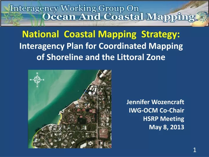
National Coastal Mapping Strategy: Interagency Plan for Coordinated Mapping of Shoreline and the Littoral Zone Jennifer Wozencraft IWG-OCM Co-Chair HSRP Meeting May 8, 2013. Why a coastal mapping plan? Legislative mandate – OCMIA (2009) Clear and growing need for coastal mapping data

E N D
National Coastal Mapping Strategy: • Interagency Plan for Coordinated Mapping of Shoreline and the Littoral Zone • Jennifer Wozencraft • IWG-OCM Co-Chair • HSRP Meeting • May 8, 2013
Why a coastal mapping plan? • Legislative mandate – OCMIA (2009) • Clear and growing need for coastal mapping data • Leverages federal resources – “Map once, Use many times”
Approach: • Build on current coastal mapping coordination activities • Lay foundation for coordinated data acquisition • Under development by IWG-OCM subgroup
Why the initial focus on shoreline and the littoral zone? • Established multiagency partnership - JALBTCX • Federal mapping responsibilities/purposes • Challenging environment for data acquisition • High priority data need
Joint Airborne Lidar Bathymetry Technical Center of Expertise OPERATIONS Aircraft Surveys Procedures People Software Hardware RESEARCH AND DEVELOPMENT Annual Technical Workshops Algorithms Data exploitation
Four Main Components of Mapping Plan: • Annual Coordination Summit & accessibility of planned data collection • Common specifications matrix • “Whole” life cycle approach to data • R&D on new tools and technologies for data collection and use (best practices)
2013 LiDAR Work Suncook River Delaware River Puget Sound Elwha River Basin Outer Banks, North Carolina Fire Island Barnegat Bay Assateague Island Northern Oahu, Hawaii Big Thicket NP Atchafalaya and Barataria Basins US Virgin Islands Chandeleur Islands Alaskan North Slope 8 Georgia counties (state funded) Hurricane Response Surveys 7
Hurricane Sandy – Impact Area (Post-Storm) Near-Shore Lidar Collections