Download
1 / 21
210 likes | 357 Views
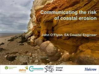
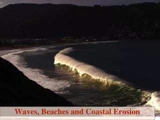
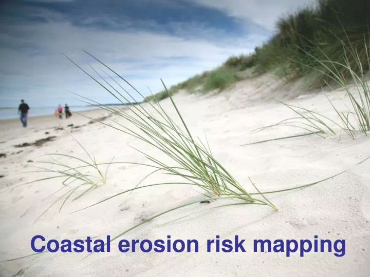
Coastal erosion risk mapping. In the next 15 minutes: I’ll give you: An update on National Erosion Mapping Project You’ll give me: Advice & support on: Timing Publication . Why are we producing erosion maps?. Making Space for Water

E N D
In the next 15 minutes: I’ll give you: An update on National Erosion Mapping Project You’ll give me: Advice & support on: Timing Publication
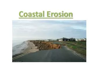
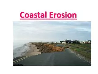
Why are we producing erosion maps? • Making Space for Water “…to widen publicly available risk mapping to include coastal erosion probabilities and risk…” • Environment Strategy “… good quality information is available at the point where people make decisions”
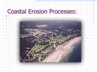
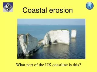
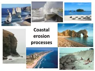
How reliable are the maps? • Best available science to improve existing information • Data from: • Future Coast • Local Authority data • SANDS database • Latest RACE methodology • Joint EA /LA approach • dedicated teams • Support from CLG and Defra • SMPs • UKCP09
How do we show the risk? • 2 scenarios • No Active Intervention • SMP2 policy • 3 epochs: • 0 – 20 years • 20 – 50 years • 50 – 100 years • 3 confidence bands • 5% • 50% • 95% • For residential and commercial properties
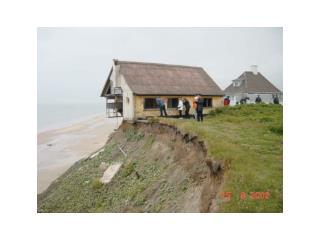
Three Big Issues People trust locals and not ‘the government’ Being Alarmed by erosion maps Ignorance and myths
Alarmed by the maps • The worries people had were.... • Won’t this ‘blight’ everyone's’ houses on the coast? • Will it affect insurance / mortgage? • How can I trust the map is correct? User Quotes “I don't think it's a good idea, because erosion is too difficult to predict. It could cause a lot of grief for the public.” ~ Professional User Quotes “My first instinct is, are the public going to be interested in it at all? I am concerned how useful it will be. You have to be very careful how people are going to use this. This is an poorly understood science.” ~ Professional
What the public want..... Zoomedout is more representative of the level of confidence in the data Zoomed in the only thing they felt was useful. They aren’t interested in regional abstractions. They want to know about their house. Fundamental disagreement The professionals recommend.....
Nobody cares Nobody does anything The EA has a secret plan to let Norfolk go, to protect ‘the Londoners’. Ignorance & Myths Notinterested
Proposals for presentation for the public • Existing maps • Aims for this information: • Format is to be easily accessible for the public • Link publication of the information with SMP2s • Additional public engagement activities to support publication of the maps. • Interactive, web-based format • Complex information, simple format
Concerns about existing map • Complex information • Epochs • Range of erosion rates / confidence bands • Scenarios • Unrealistic impression of certainty • Doesn’t reflect what really happens
Proposal ‘Landing page’
Detail page • Interactive, web-based format • Complex information, simple format • Need your input in: • Operating authorities • Info on local works • Stories
Proposals for professional partners • High level statistics • Erosion rates per length for each Local Authority • GIS database format • Coordinates along the coast • 18 data points for each coordinate • Guide on how to use the data / produce maps for SMP2s • SMP2 addendum • Assessment of impact on SMP2 policies • We don’t anticipate major changes to SMP2 policies
Timing or • By Region / LA • LA – small sections • Regions – delayed publication • Batched with SMPs • As soon as ready Publication or • Through Regions • Link to approval of SMPs • Regional lead on engagement • Through Coastal Groups • Stronger link to SMP • Reinforces: • LA lead on erosion • Joint approach
Business transition action plan • Business Users Group • Developing procedures for updating the maps. • Communications strategy • Internal / external • Coastal engagement activities • Funded by Defra • Recruitment underway • Awareness days / training • for Area teams / Local Authorities • What are your concerns? Are there / communication gaps / omissions, or wider implications for you, us and the public?
Summary • Update • Your advice & support for • Format: public / professional partners • Timing: with SMPs • Published: jointly / Coastal Group lead • Business transition • Engagement approach “We are improving our understanding of coastal erosion and informing people about it now, so that we can all adapttogether to our changingcoast…”