Download
1 / 22
220 likes | 373 Views
IGARSS 2011 Vancouver, BC, Canada July 26, 2011 . All-Weather Wind Vector Measurements from Intercalibrated Active and Passive Microwave Satellite Sensors. Thomas Meissner Lucrezia Ricciardulli Frank Wentz. Outline.

E N D
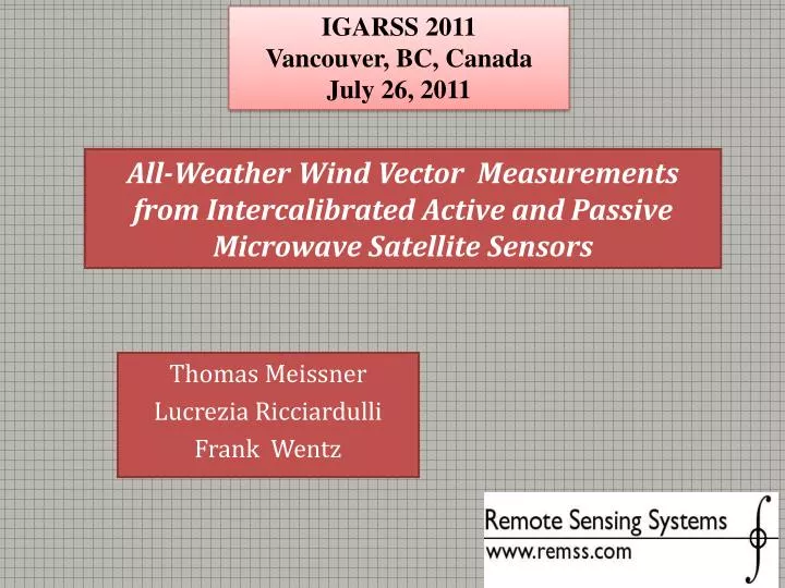
IGARSS 2011 Vancouver, BC, Canada July 26, 2011 All-Weather Wind Vector Measurements from Intercalibrated Active and Passive Microwave Satellite Sensors Thomas Meissner Lucrezia Ricciardulli Frank Wentz
Outline • Passive (radiometer: WindSat) vs active (scatterometer: QuikSCAT) wind speed retrievals: • Surface emissivity versus radar backscatter. • Ocean Surface Emissivity Model. • Overview: RSS WindSat version 7 ocean products. • WindSat all-weather wind speeds. • Improved QuikSCAT Ku2011 geophysical model function. • Validation. • High winds. • Rain impact study. • Selected storm case: Hurricane Katrina. • Conclusion: active vs passive - strength +weaknesses.
Passive vs Active Wind Speeds • Passive (radiometer) • Sees change in emissivity of wind roughened sea surface compared with specular surface • Low winds: Polarization mixing of large gravity waves. • High winds: Emissivity of sea foam. • Radiative Transfer Model (RTM) function for wind induced surface emissivity. • Active (scatterometer) • Sees backscatter from the Bragg-resonance of small capillary waves. • Geophysical Model Function (GMF) for wind induced radar backscatter. Calibration Ground truth: Buoy, NWP wind speeds
Challenge 1: High Wind Speeds (> 20 m/s) • Passive (radiometer) • Lack of reliable ground truth. (buoys, NWP) for calibration and validation. • Tropical cyclones: High winds correlated with rain (challenge 2). • Active (scatterometer) • Lack of reliable ground truth. (buoys, NWP) for calibration and validation. • Tropical cyclones: High winds correlated with rain (challenge 1). • Loss of sensitivity (GMF saturates).
Challenge 2: Wind Speeds in Rain • Passive (radiometer) • Rainy atmosphere attenuates signal. • Emissivity from rainy atmosphere has similar signature than from wind roughened surface. • Scattering from rain drops is difficult to model. • Active (scatterometer) • Rainy atmosphere attenuates signal. • Backscatter from rainy atmosphere has similar signature than from wind roughened surface. • Scattering from rain drops is difficult to model. • Splash effect on surface. • Rain flagging difficult for single frequency sensor.
Ocean Surface Emissivity Model • Crucial part of Radiative Transfer Model (RTM). • Physical basis of passive wind retrieval algorithm. • Dielectric constant of sea water. • Wind induced sea surface emissivity. • Derived from WindSat and SSM/I TB measurements. • Winds < 20 m/s: • Buoys. • NWP. • Scatterometer. • Winds > 20 m/s: • HRD wind analysis (hurricanes). • SFMR data. T. Meissner + F. Wentz, IEEE TGRS 42(9), 2004, 1836 - 1849 T. Meissner + F. Wentz, IEEE TGRS, under review
Ocean Surface Emissivity Model (cont.) • Measured minus computed WindSat TB as function of SST (x-axis) and wind speed (y-axis).
Overview: RSS Version 7 Ocean Products • Intercalibrated multi-platform suite. • 100 years of combined satellite data. • Climate quality. DMSP SSM/I, SSMIS F8, F10, F11, F13, F14 ,F15, F16, F17 TRMM TMI AMSR-E, AMSR-J WindSat V7 released V7 release in progress QuikSCAT
RSS WindSat Version 7 Ocean Products • Optimized swath width by combining forand aft looks at each band.
New in V7 Radiometer : Winds Through Rain • Version 6: Rain areas needed to be blocked out. • Version 7: Rain areas have wind speeds. • C-band (7 GHz) required: • WindSat, AMSR-E, GCOM • Possible with only X-band (11 GHz): TMI, GMI. • Residual degradation in rain.
WindSat Wind Speed Algorithms • No-rain algorithm (≥10.7 GHz, 32 km res.) • Physical algorithm. • Trained from Monte Carlo simulated TB. • Based on radiative transfer model (RTM). • Wind speed in rain algorithms (≥6.8 GHz, 52 km res.) • Statistical or hybrid algorithms • Trained from match-ups between measured TB and ground truth wind speeds in rainy conditions. • Utilizes spectral difference (6.8 GHz versus 10.7 GHz) in wind/rain response of measured brightness temperatures. • Same method is used by NOAA aircraft step frequency microwave radiometers (SFMR) to measure wind speeds in hurricanes. Radiometer winds in rain: T. Meissner + F. Wentz, IEEE TGRS 47(9), 2009, 3065 - 3083
WindSat All-Weather Wind Speeds • Blending between no-rain, global wind speed in rain and H-wind (tropical cyclones) algorithms. • Depends on SST, wind speed and cloud water. • Smooth transitions between zones. L=0.2 mm W=15 m/s H-Wind Algo (tropical cyclones) No-Rain Algo SST=28oC SST Global Rain Algo Wind Speed Liquid Water
WindSat Wind Speed Validation • 2-dimensional PDF: WindSat versus CCMP (cross-calibrated multi-platform) wind speed. • Rain free and with rain.
WindSat Wind Validation at High Winds (1) • Renfrew et al. QJRMS 135, 2009, 2046 – 2066 • Aircraft observations taken during the Greenland Flow Distortion Experiment, Feb + Mar 2007. • 150 measurements during 5 missions. • Wind vectors measured by turbulence probe. • Adjusted to 10m above surface.
Improved QuikSCAT Ku2011 GMF: Purpose • Improvement at high wind speeds. • When RSS Ku2001 was developed (Wentz and Smith, 1999), validation data at high winds were limited. • GMF at high winds had to be extrapolated. • Analyses showed Ku2001 overestimated high winds. • WindSat wind speeds have been validated. • Confident up to 30 – 35 m/s. • Emissivity does not saturate at high winds. Good sensitivity. • Excellent validation at low and moderate wind speeds < 20 m/s (Buoys, SSM/I, CCMP, NCEP,…), > 20 m/s: Aircraft flights. • WindSat can be used as ground truth to calibrate new Ku-band scatterometer GMF. • Produce a climate data record of ocean vector winds. • Combining QuikSCAT with other sensors using consistent methodology.
Improved QuikSCAT Ku2011 GMF: Development • The GMF relates the observed backscatter ratio σ0 to wind speed w and direction φat the ocean’s surface. • To develop the new GMF we used 7 years of QuikSCAT σ0 collocated with WindSat wind speeds (90 min) and CCMP (Atlas et al, 2009) wind direction. • WindSat also measures rain rate, used to flag QuikSCAT σ0 when developing GMF. • We had hundreds of millions of reliable rain-free collocations, with about 0.2% at winds greater than 20 m/s.
Ku2001 versus Ku2011 Greenland Aircraft Flights Ku2001Ku2011 Ku2001Ku2011 A0 A2
Rain Impact: WindSat/QuikSCAT vs Buoys • Table shows WindSat/QuikSCAT – Buoy wind speed as function of rain rate (5 years of data)
Rain Impact: WindSat/QuikSCAT/CCMP • Figures show WindSat – CCMP and QuikSCAT – WindSat wind speeds as function of wind speed and rain rate. • 5 years of data. • No rain correction for scatterometer has been applied yet. • With only single frequency (SF) scatterometer (QuikSCAT, ASCAT) it is very difficult to • Reliably flag rain events • Retrieve rain rate which is needed to perform rain correction
Rain Impact on Scatterometer: Caveat • Rain impact depends on rain rate + wind speed: • At low wind speeds: QuikSCAT wind speeds too high in rain. • At high wind speeds: QuikSCAT wind speeds too low in rain. • Important: Correct GMF at high wind speeds. • Ku2001 wind speeds too high at high wind speeds. • Accidental error cancellation possible in certain cases.
Hurricane Katrina08/29/2005 0:00 Z WindSat all-weather wind QuikSCAT Ku 2011 wind HRD analysis wind WindSat rain rate
Active vs Passive - Strength + Weaknesses WindSat and QuikSCAT V7 Data Sets available on www.remss.com • Assessment based on operating instruments: • Polarimetric radiometer (WindSat). • Single frequency scatterometer (QuikSCAT, ASCAT, Oceansat). + +very good + slightly degraded strongly degraded / impossible