Download
1 / 28
280 likes | 394 Views
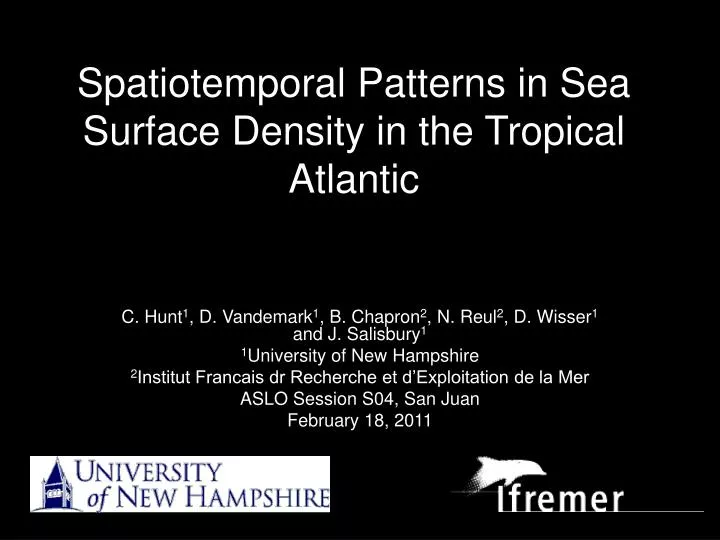
Spatiotemporal Patterns in Sea Surface Density in the Tropical Atlantic. C. Hunt 1 , D. Vandemark 1 , B. Chapron 2 , N. Reul 2 , D. Wisser 1 and J. Salisbury 1 1 University of New Hampshire 2 Institut Francais dr Recherche et d’Exploitation de la Mer ASLO Session S04, San Juan

E N D
Spatiotemporal Patterns in Sea Surface Density in the Tropical Atlantic C. Hunt1, D. Vandemark1, B. Chapron2, N. Reul2, D. Wisser1 and J. Salisbury1 1University of New Hampshire 2Institut Francais dr Recherche et d’Exploitation de la Mer ASLO Session S04, San Juan February 18, 2011
What’s new? • Previous large-scale density estimates were usually from models (i.e. Hycom) or climatologies (i.e. WOA) • Two new satellites this year will provide L-band microwave SSS • The ARGO float network can now provide a broad-scale validation set to couple with remotely-sensed SSS • However, a less sensitive microwave sensor has been aboard AMSR-E for 7+ years (Reul et al. 2009)
AMSR-E SSS Background • C-band (6.9 GHz) and X-band (10.7 GHz) • Corrected with AVHRR-AMSR SST, water vapor, cloud liquid water, and surface winds • Caveats: • C- and X-bands much less sensitive to SSS than L-band (factor of 10-20) • Better sensitivity with warmer waters • Still much more sensitive to SST than SSS
Having said all that… • Data are monthly, 1-degree data gridded down to .25-degree • Five years: 2003-2007 • 20°N20°S • 70°W15°E • Density calculated using UNESCO 1983 polynomial (sw_dens0.m)
60-Month mean, 2003-2007 • Lower density near rivers and across ITCZ • Higher density intrusions from South and possibly North Equatorial Currents
Factors influencing density Density salinity temperature evaporation river discharge precipitation heat flux
Density SST r=-0.9569
High negative correlation poleward, and through Benguela-SEC • Low to no correlation around equator and ITCZ
Strong correlation along coasts, especially Amazon, Niger and Congo outflows, and through ITCZ
SSS and SST influence on density • SSS more significant in river plumes, along coasts and along the ITCZ • SST more significant in South and North Equatorial Currents • So, now let’s look at density and its relation to: • Heat Flux • Precipitation/Evaporation • River Discharge
Orinoco Niger Amazon Congo
r=-0.7596 r=-0.54 r=0.2778 r=-0.411
Does Density Help? • Quick and dirty PCA of three data combinations: • Density, chl, cdom • SSS, chl, cdom • SST, chl, cdom • Recorded % variance represented by PC1 and PC2 for each data combination • Subtracted PC1%var-den – PC1%var-sss • and PC1%var-den – PC1%var-sst
+25,192 -6,482 +8,724 22,950
Now what? • Comparison to SSS climatologies (WOA, etc) • Comparison to ARGO float network • PCA and harmonic analyses
Some stuff with npp, chl, cdom? • Get CDOM and NPP images (will they be the right coordinates?) • Do a PCA with SST, CDOM and NPP • Do again with density, CDOM, and NPP • Hopefully the density PCA will explain more of the variance that the SST one! • Also, see how the SSS papers use PCA
Heat Flux • 60 months, 2003-2007 (WHOI OA Flux) • Positive values are downward fluxes
Despite some areas of strong heat flux gradients, not much in the way of good correlations
% REFERENCES: • % Unesco 1983. Algorithms for computation of fundamental properties of • % seawater, 1983. _Unesco Tech. Pap. in Mar. Sci._, No. 44, 53 pp. • % • % Millero, F.J. and Poisson, A. • % International one-atmosphere equation of state of seawater. • % Deep-Sea Res. 1981. Vol28A(6) pp625-629.