Download
1 / 8
80 likes | 224 Views
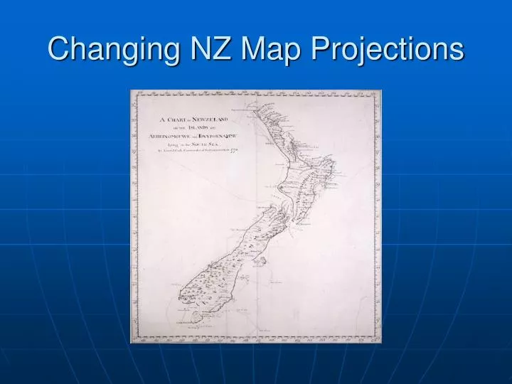
Changing NZ Map Projections. Changing NZ Map Projections. Geographic Coordinate System (WGS84) Tip of Christchurch Spit = 177 44’ 55.13 E, 43 33’ 43.81 S (long/lat) 1949?: New Zealand Yard Grid(s) Separate North & South Island Grids, coordinates = yards

E N D
Changing NZ Map Projections • Geographic Coordinate System (WGS84) Tip of Christchurch Spit = 177 44’ 55.13 E, 43 33’ 43.81 S (long/lat) • 1949?: New Zealand Yard Grid(s) Separate North & South Island Grids, coordinates = yards Tip of Christchurch Spit = 610290 E, 552170 N ‘SIYG’ (or NIYG?!) • 1973: New Zealand Map Grid (NZMG) One Grid to rule them all, local datum NZGD1949, coordinates = meters. Tip of Christchurch Spit = 2489700 E, 5738300 N NZMG • 2001: New Zealand Transverse Mercator (NZTM) New technology (GPS & GIS), geocentric datum NZGD2000, coordinates = meters. Tip of Christchurch Spit = 1579660 E, 5176560 N NZTM
Changing NZ Map Projectionsmix ‘n’ match • NZGD1949 coordinates use a local datum, while the NZGD2000 coordinates use a geocentric datum. The two datums use different shaped ellipsoids. As a result, the NZGD49 and NZGD2000 coordinates for the same point differ by approximately 200 metres (approximately 10 metres in the east and 190 metres in the north directions). Coordinates can be converted from one datum to another based on transformation parameters derived from survey control stations which have coordinates on both datums ( more is better).
Changing NZ Map Projectionsand Geographic Information Systems (GIS) • NZ Census 1996 Deprivation Data Meshblock Boundaries (and road centerlines) in NZMG, overlain with address points in NZTM, from the LINZ Core Record System (CRS) (previously the Digital Cadastral Database DCDB).
GIS in SchoolsNEW ZEALAND • Increasing number of schools use GIS for technology skills • Hardware, software, data, and curriculum material is increasingly available • Puts technology in a (spatial) context we can all relate to • Google Earth, Wises Maps, Yellow pages, Harcourts… • Steep learning curve = time + support = GISMAPED
GISMAPEDhttp://www.gismaped.co.nz • GISMAPED is a company providing professional development through high quality, practical, curriculum oriented workshops to teachers of Y5-13 Social Studies, History, Geography and Science, and to schools involved in the GLOBE programme. • Site includes details of upcoming Workshops, access to resources, links to other related sites and information regarding qualifying for the Eagle Technology GIS In schools programme. • Anne Olsen anne@gismaped.co.nz or Stephanie Eddy stephanie@gismaped.co.nz
References Changing NZ Map Projections Land Information New Zealand: http://www.linz.govt.nz > Survey System> Geodetic Information> Projections & Datums ~/docs/surveysystem/survey-publication/witwaw.pdf Ollivier & Co: http://www.ollivier.co.nz ~/projection/faq.shtm GIS in Schools GISMAPED: http://www.gismaped.co.nz ~support, curriculum material… Eagle Technology (NZ): http://egis.eagle.co.nz/schools ~ FAQ, list server/email list, sponsorship deals might be dated. Environmental Systems Research Institute (ArcGIS ArcView/Arcinfo…): http://www.esri.com ~virtual campus, online help UC GEOG: http://www.geog.canterbury.ac.nz/links ~facilities for teacher workshops, and maybe school visits?