Download
1 / 14
140 likes | 375 Views
MAAP Coordination Meeting. Project Progress Update October 2012. Project Overview. DAFA 9 Month Plan. Outlook for end December 2012. DAFA 9 Month Plan. Outlook for end December 2012. Key Advances - 6 Month Review.

E N D
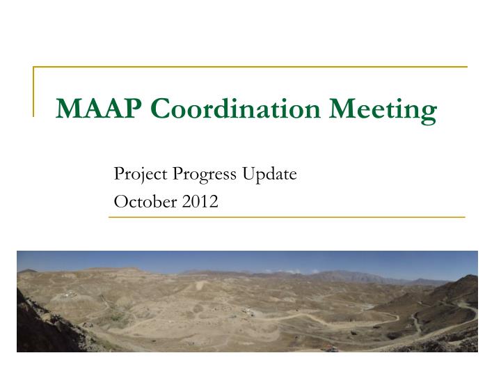
MAAP Coordination Meeting Project Progress Update October 2012
Project Overview DAFA 9 Month Plan Outlook for end December 2012 DAFA 9 Month Plan Outlook for end December 2012
Key Advances - 6 Month Review • 2 large Stupa Complexes on the periphery of the main excavation area. Scheduled to run for another month. Excavation now complete. • Large area (Sites 018 and 057) at the base of Aynak Mountain. Evaluation and excavation now complete. • Major advances on sites within the Lower Town area. Areas of excavation greatly increased, and completion of work on these sites by 2013 now appears to be an attainable goal.
Detail of Current Status Status June 2012 Status June 2012 Status June 2012 Current Status Current Status Current Status
Visual Representation of Progress Lower Town May 2012 Lower Town September 2012
Project evolution from April MCC Work Plan Project Planning
Archaeological Excavation • Excavations are undertaken over a 4 or 5 metre grid. • Archaeological layers are given individual context numbers. Detailed information of each layer is recorded on context sheets.
Archaeological recording and documentation • Archaeological layers are accurately planned. Detail can then be added to the CAD plans • Sections of archaeological deposits and elevations of architectural remains are drawn.
Geomatics • Total Station provides a very accurate and precise way of recording spatial information in three-dimensions and is being used primarily to set up grids over the archaeological areas,. • The data produced also interfaces directly with Computer Aided Design (CAD) systems which is being used to produce a comprehensive digital map of the archaeological remains across the site.
Use of Machinery • Machinery has been used on the slopes and base of the mountain where erosion has left large amounts of material overlying the archaeological layers • Secondly to remove accumulated spoil heaps from around excavations • And finally to quickly evaluate the archaeological potential of the low density archaeological areas, through a programme of trenches
Resulting Archaeological Archive • Site Plans • Digitised drawings of the structures uncovered • Database of archaeological context information • Archive of photographic documentation • Digital inventory of finds • Interim site reports
Finds Archive Finds are photographed and illustrated
Future Works • Further machinery work necessary as targeted excavation on lower slopes of the mountain. • Further machinery work necessary across the site, primarily the removal of previous spoil heaps
Conservation and removal • Preparations are underway for the removal of larger structural remains. This consists of detailed photographic documentation and accurate drawing, after which these structures are ready for removal.