Download
1 / 32
320 likes | 323 Views
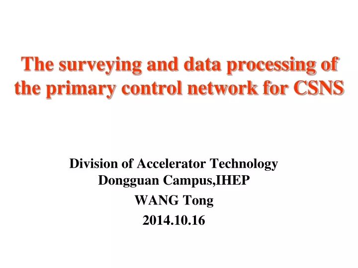
The surveying and data processing of the primary control network for CSNS. Division of Accelerator Technology Dongguan Campus,IHEP WANG Tong 2014.10.16. Contents. 1 、 Project Overview 2 、 Introduce of the Primary Control Network 3 、 Surveying for the Horizontal Control Network

E N D
The surveying and data processing of the primary control network for CSNS Division of Accelerator Technology Dongguan Campus,IHEP WANG Tong 2014.10.16
Contents 1、Project Overview 2、Introduce of the Primary Control Network 3、Surveying for the Horizontal Control Network 4、Data Procesing for the Horizontal Control Network 5、Surveying and Data Procesing for the Vertical Control Network 6、 Conclusion
1.1 Brief introduction China Spallation Neutron Source(CSNS) mainly consists of an H- Linac and a proton rapid cycling synchrotron. It is designed to accelerate proton beam pulses to 1.6 GeV kinetic energy at 25 Hz repetition rate, striking a solid metal target to produce spallation neutrons.
RCS Linac Experiment Hall Spectrometer Office Building
1.2 General layout of CSNS The length of the H- Linac is about 197m, the circumference of the proton rapid cycling synchrotron(RCS) is about 228m, the length of the Linac to RCS beam transport (LRBT) is about 40m, and length of the RCS to target transport(RTBT) is about 144m.
1.3 The status of the civil construction The construction of CSNS is in progress.Up to now,We have finished the surveying of ground control net.Since the tunnel of Linac has already been able to meet the requirement of surveying, we have finished the fourth measurement of the secondary control network in Linac. And the baseplate and equipment skirt of Target have also began installing.
2.1 Overall layout of primary network The control network of CSNS is classified into two grades: the primary network and the secondary network. The primary network consists of 27 points, which are distributed over the whole area of CSNS. It is used for the layout of buildings and facility and to provide high accuracy control for the secondary network .
The yellow points : permanent monuments based on bed rock in the tunnel, are also the component of the secondary control network. The blue points : densification monuments built on the surface of ground.
2.2 Survey scheme for the primary network The surveying were divided into horizontal and vertical measurement separately. For the high precision and flexibility, GPS was put into use in horizontal observation. And we can get the horizontal coordinates of the control points by projection on a reference ellipsoid of the earth. The height difference measurement was carried out by spirit leveling.
3.1 The overview of horizontal surveying 4 GPS receivers GS15 were applied and 15 points were measured in the horizontal control network.In each station, the GPS receivers are centered on every 4 monuments. From Jun. 29to Jul.23 in 2013,20 time intervals were obtained,and each time interval spent 8 hours.
3.2 The method of centering for the large height difference The control points P01-P08 were located in tunnel, they can’t directly connect with the other points on the ground. To carry out the survey, we should project them from tunnel to the roofs vertically. Wild NL nadir telescope was considered for centering and projection. The problem is that there was a large height difference between tunnel and roof . To verify the correctness of the centering of NL nadir, AT401 and a tooling were used.
3.2 The method of centering for the large height difference We designed a holder that could attract a 0.875inch ball reflector ,and it could be assembled on the bottom of the Leica carrier ,and was concentric with the carrier. This tooling could be used not only for centering ,but also for the height difference measurement from the tunnel to the roof.
3.2 The method of centering for the large height difference First, centering by NL nadir on the roof ,and put the carrier designed on the tribrach; then stationed and centered AT401 on the control points in the tunnel. Aim the AT401 to the zenith for the advantage of vertical rotation range ±145°, and we could get the center of carrier on the roof. From the results of AT401,it shows that the deviation of centering was 1.5mm at the height of 26m on point P01,and 0.8mm at the height of 12m on P02, which demonstrated that centering by NL nadir was correct and feasible.
4.1 Distance distortion analysis of Transverse Mercator projection LGO software was used for the GPS data post-processing, and a plane coordinate system was got based on a map projection such as Transverse Mercator, which was a cylindrical projection with central meridian placed in a particular region. Since the plane coordinate systems are developed directly from geodetic values, the use of observations require the further reduction of the ellipsoid values to grid values. The reduction from ground to the state plane is a simple two-stage process. Reduction from ground to the ellipsoid and reduction from the ellipsoid to the plane grid.
4.1 Distance distortion of Transverse Mercator projection • The main type of distortion was distance in TM map projection. In order to minimize the distance distortion, we need to choose the appropriate central meridian: • The distance reduction of the ellipsoid values to grid values was: • Where: • Hm—Mean geodetic elevation . • ym —Mean transverse projecting coordinates of the starting and ending points of geodesic line. • R —Mean Radius of the Earth.
4.2 GPS data processing by LGO • With the formula in 4.1, we can get the distance of the optimal central meridian from the center of the surveying region. For the GPS data processing of primary control net of CSNS, the projective central meridian was setting as 113°41′50″ finally and the Xian’ 80 reference ellipsoid was choosed for the map projection. • The parameters were then entered to the coordinate management system of Leica Geo Office.
4.2 GPS data processing by LGO We can get the horizontal coordinates of the primary control network by LGO adjustment.The plane coordinates of the control points are as follows:
This figure shows the absolute error ellipses and the map of control network.
4.3 Length comparison between GPS and Total station We also measurement several baselines by Total station to check the correctness of the results from LGO.The table below shows that some deviations were large,but they are conform to the nominal accuracy of GS15 (3mm±0.5ppm):
4.4 The stability of the control points in the primary control network From Mar. 19 to Mar. 28,2014,we have conducted the second measurement of the primary control network,8 points were surveyed again. We can see that the deviation of P08S is a little large, a displacement maybe occurred.
4.4 The stability of the control points in the primary control network The reason may be that the pillar of P08 is too long,about 22m with the diameter of 1m,though it was built on the rock bed (P01,4m;P02,11m;P07,17m). The other reason is that Guangdong often rains hard,and the steel guard pipe will be full of water and monument was immerged after the rain.Since the Target hall has not completed yet, P07 and P08 were exposured in outdoor.
5、Surveying and data processing for vertical control network
4.1 Surveying for the vertical control network NA 2 optical level was used for the height difference measurement,and every line of leveling we got the direct and reversed observing to ensure the high accuracy and to check with each other. And the distance between the level and the staffs would be about the same distance in the backsight and the foresight of every station to eliminate the influence of i angle error. 18 lines were measured.
4.2 Data processing for the vertical control network COSA software was used for the adjustment of the vertical control network,which is developed by school of geodesy and geomatics,Wuhan university.
6.1 Conclusion • The GPS is convenient,and in the post-processing of the static observation,the distortion in the map projection should be considered. • The accuracy of the horizontal coordinates and the elevation of the primary control net were about 2mm and 0.5mm,which could meet the requirement. • The point P08 was not stable enough, next we need to substitute another points for it.