Download
1 / 8
80 likes | 253 Views
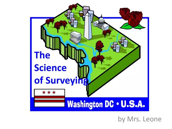
The Science of Surveying. by Mrs. Leone. Surveying. The science of plotting maps of a specific locale Includes finding its boundaries, calculating its area, and measuring its elevation above sea level Uses geometry and trigonometry to measure angles and distances.

E N D
The Science of Surveying by Mrs. Leone
Surveying • The science of plotting maps of a specific locale • Includes finding its boundaries, calculating its area, and measuring its elevation above sea level • Uses geometry and trigonometry to measure angles and distances
Surveying Washington, D.C. • 1791-1792 • Chief Surveyor: Major Andrew Ellicott, age 37 (here at age 45) • Surveyors: Benjamin Ellicott Joseph Ellicott, age 31 (as an older man) Isaac Briggs George Fenwick Benjamin Banneker, age 60 (here at age 64)
Surveying Washington, D.C. • The survey began at Jones Point, a cape located at the confluence of Hunting Creek and the Potomac River south of Alexandria, VA. looking south
Surveying Washington, D.C. • An area containing the full 100 square miles (260 km2) that the Residence Act had authorized on July 6, 1790 • Each side was 10 miles (16 km) long. • Theaxes between the corners of the square ran north–south and east–west.
The Original Map of DC Check it out! It was measured in “poles”! 1 pole = 16.5 feet 1 mile = 320 poles
Surveying Washington, D.C. • The survey team placed sandstone boundary markers at or near every mile point along the sides of the square. • Many of these markers still remain. • The west cornerstone is at the west corner of Arlington County, Virginia. • The north cornerstone is south of East-West Highway near Silver Spring, Maryland, west of 16th St. • The east cornerstone is east of the intersection of Southern Aveand Eastern Ave.
Surveying Washington, D.C. • What did D.C. look like before it was D.C.? • video of Canadian surveyors doing their thing • old fashioned surveyor’s tools