1 / 1

Understanding InSAR Technology

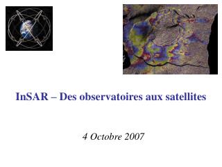
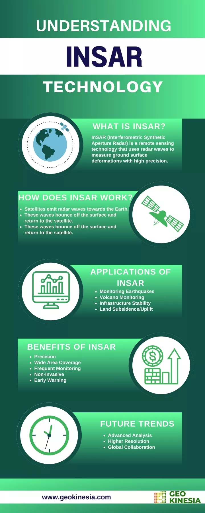
Interferometric Synthetic Aperture Radar (InSAR) is a satellite-based technology that uses radar signals to monitor ground deformation, providing precise analysis of Earth's surface, terrain shifts, tectonic activity, and infrastructure stability, essential for earthquake monitoring, land subsidence tracking, and urban development planning.

Geo13
Download Presentation

Understanding InSAR Technology

An Image/Link below is provided (as is) to download presentation Download Policy: Content on the Website is provided to you AS IS for your information and personal use and may not be sold / licensed / shared on other websites without getting consent from its author. Content is provided to you AS IS for your information and personal use only. Download presentation by click this link. While downloading, if for some reason you are not able to download a presentation, the publisher may have deleted the file from their server. During download, if you can't get a presentation, the file might be deleted by the publisher.

E N D

Presentation Transcript


More Related