Download
1 / 32
320 likes | 405 Views
Discover the essential monitoring network in the Tongue River watershed in Montana and Wyoming. Learn about the objectives, methods, and results regarding water quality, particularly focusing on potential impacts of Coal Bed Methane extraction. This project aims to provide real-time information on key parameters such as Specific Conductance and Sodium Adsorption Ratio. Continuous and periodic monitoring techniques, along with a synoptic study, offer valuable insights into the watershed's health. Find out more about the significance of SAR trends, the role of stakeholders, funding sources, and the necessity of long-term monitoring for sustainable management.

E N D
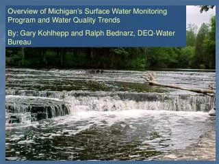
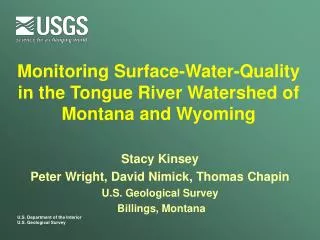
Monitoring Surface-Water-Quality in the Tongue River Watershed of Montana and Wyoming Stacy Kinsey Peter Wright, David Nimick, Thomas Chapin U.S. Geological Survey Billings, Montana
Talk Outline • What is the network? • Need for network • Objectives & methods • Hydrology • Some results • Concluding thoughts • Cooperators Tongue River above State Line
Network • Started inJanuary 2004 • 7 mainstem sites • 5 tributary sites • Streamflow and water quality
Need for MonitoringNetwork • Coal Bed Methane (CBM) • What is it? • How is it extracted? • Why is this a concern? Well completed before 1997 Well completed after 1997 (BLM 2003 EIS)
Need for Monitoring Network • Discharge of CBM production water has potential to affect surface water quality • Increased sodium in irrigation water could affect soils Irrigated hay Tongue River CBM wells
Sodium Adsorption Ratio (SAR) SAR is the proportion of sodium ions relative to magnesium and calcium When SAR gets above a certain level, the soils permeability is reduced, thus the water less available for plants.
Monitoring Objectives • Document water quality in Tongue River and major tributaries and detect changes, if any, over time • Provide real-time water-quality information for parameters of greatest concern (i.e., SC and SAR) CBM discharge in Montananear State Line
Monitoring Approach • Collect periodic water-quality samples • Frequency • Non-irrigation season Monthly • Irrigation season – Twice monthly • Parameters collected • Major ions • Trace elements • Sediment • Water temp., D.O., pH, SC Water-quality sampling at Tongue R. at State Line
Monitoring Approach • Collect continuous SC data in real-time • Provide estimates of SAR (from SC data) in real-time • Develop techniques to measure SAR in real-time • Provide information to the public CBMDischarge to the Tongue River
Methods – Water Quality • Methods in USGS National Field Manual “Clean hands/dirty hands” sampling atTongue R. at State Line
Methods – Continuous SC • Methods in USGS WRIR 00-4252 SC probe installation, Tongue R. at Monarch
Methods – Streamflow • Measure stage & flow periodically to develop a rating • Record stage continuously and convert to flow Cableway at Tongue R. at Tongue R. Dam
Methods • DataManagement and Reporting http://tonguerivermonitoring.cr.usgs.gov/
SC • 2004 irrigation season • Monthly means from continuous SC data
SAR • 2004 irrigation season • SAR data from periodic water samples
SAR estimation • SC-SAR relation based on water-sample data
Real-timeSAR Tongue River at State Line
Synoptic – Fall 2005/Spring 2006 • Canoed a 30 mile stretch of Tongue River • Took SC measurements periodically on the mainstem and before/after any inputs • Measured SC and discharge from all CBM outfalls, along with samples from 5 of the 15 outfalls
Synoptic Findings Specific conductance measurements along the Tongue River, September 2005
Synoptic Findings Potential effects of CBM on SAR at Tongue River at State Line
Concluding Thoughts • SAR values during 2000-05 appear slightly elevated, perhaps because of drought or CBM • Agencies, industry, irrigators, and stakeholders have been supportive • Long term monitoring is essential for objective analysis • Hopefully needs to continue to monitor changes Tongue River below Tongue River Reservoir
Funding Sources • USGS (including Congressional earmark) • Bureau of Land Management (Miles City office) • T & Y Irrigation District / Fidelity Exploration • Montana DNRC • Northern Cheyenne Tribe • Wyoming State Engineer • Montana DEQ • Wyoming DEQ Tongue River Dam