Download
1 / 29
290 likes | 390 Views
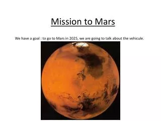
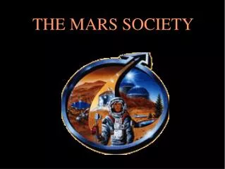
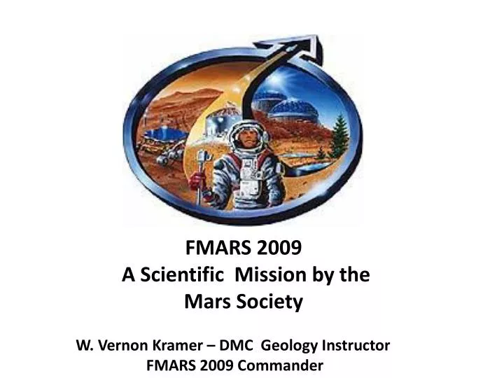
FMARS 2009 A Scientific Mission by the Mars Society. W. Vernon Kramer – DMC Geology Instructor FMARS 2009 Commander. Mars Society. An international organization devoted the studies of sustaining a human settlement on Mars. MDRS near Hanksville, UT.

E N D
FMARS 2009 A Scientific Mission by the Mars Society W. Vernon Kramer – DMC Geology Instructor FMARS 2009 Commander
Mars Society An international organization devoted the studies of sustaining a human settlement on Mars
MDRS near Hanksville, UT This is done by performing simulated Mars missions where participants live in a Mars habitat and work outside in simulated space suits
The Mars Society maintains a second habitat near Resolute on Devon Island
About 600 miles North of Arctic Circle Largest uninhabited island size of West Virginia
Haughton Crater ~ 30 MY old meteor crater; ~23 km in diameter; Arctic desert An ideal environment for a Mars simulation
Home for the month of July for six Mars settlers 25 feet in diameter and ~ 20 feet high Outside in “simulation”
All mapping: UTM NAD83/WGS84 bordering Zone 16 using Tule, Greenland 10 meter contours FMARS at 8373.621 N; 420.731 E Haughton Crater IOL – Inuit Owned Lands
Notice the red dots Hydrothermal pipes
Of the more than 70 pipes, most were found by walking over the terrain (without a space suit) Examples of a hydrothermal pipe
Then we will further test these with EM geophysics Our mission is to “find” these various types of “pipes’ with a UAV and sample the pipes for useful minerals (all within a space suit, helmet and thick gloves!
Remotely controlled Prioria Maveric UAS with GPS, with cameras that can take high resolution color and infrared photos
All sampling will be GPS tagged with Nikon donated cameras Nikon CoolPix P6000 with geotagging
All field data will be collected using a DMC loaned Trimble GeoXM (with training by John Nelson - DMC) A variety of other GPS units will be used for navigation (including loaners from DMC) And all GPS data will be integrated using ARCMAP (from DMC IT, with training by DMC John Nelson)
The reality of Mars, a +1,000 M hill of sulfate mineralization