Download
1 / 45
450 likes | 475 Views
Explore the ancient seafaring traditions of civilizations like the Egyptians, Phoenicians, Polynesians, and Greeks. Learn about their reasons for venturing out to sea, their navigation techniques, and the tools they used.

E N D
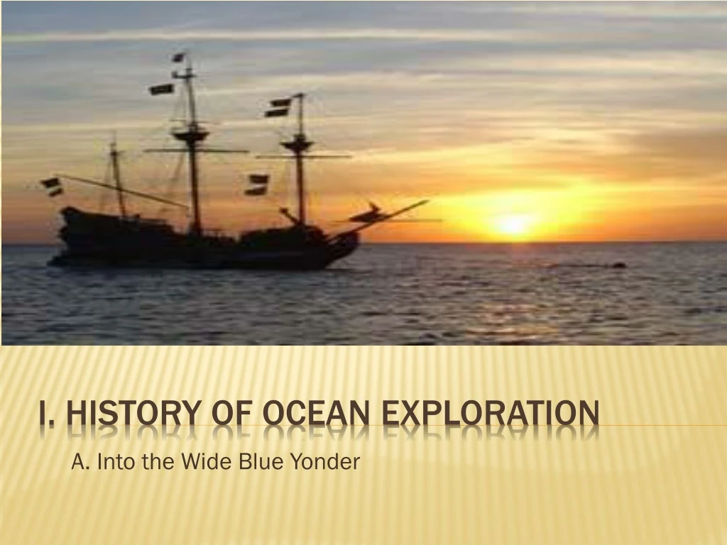
A. Into the Wide Blue Yonder I. History of Ocean Exploration
Food Trade Discovery of new land B. 3 main reasons for seafaring
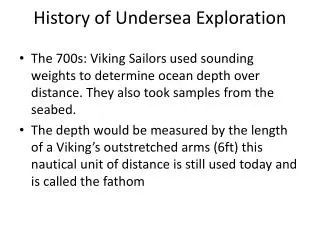
Biblically – Noah’s Ark and similar stories of floods: Not really out to Sea 1st Recorded – 3200 BC Egyptian reed boats to Phoenicia for Trade 1st Exploration – 2750 BC Egyptians established trade throughout the Indian Ocean, traveling to southern tip of Arabian Peninsula Phoenicians– 2000 BC established trade routes in Mediterranean and as far north as Great Britain. All routes within sight of land. II. Ancient seafaring/early explorations
III. Polynesians • New Guinea Samoa New Zealand Hawaii A. 2000 BC 1000 BC 800 BC 500 AD • Traded extensively in Mediterranean with small navy • Traveled into N. Atlantic to British Isle to trade for tin (used to make bronze) B. Traveled thousands of miles across Pacific Ocean • Had enough ships to carry supplies for colonization of Pacific Islands, C. Settled most habitable islands of the Pacific ; including Hawaii; • Skillful and experienced navigators • Unclear history, not written down • Navigated by watching wave patterns; D. Using basic maps made of shells and sticks Ancient Seafaring
Reference points on land Use sun, constellations, stars Cloud patterns that develop near islands and coastlines Shore birds IV. Tools of Ancient Seafaring
Developed knowledge lost during middle ages Knew Earth was round not flat. Calculated Circumference of the Earth Developed sophisticated maps with latitude and longitude Ptolemy developed coordinate system still used today. V. Ancient Greek Mathematicians
Astronomer, mathematician, geographer circa 87 – 150 AD 2. First map of a spherical earth projected on to a FLAT map 3. Introduced latitude and longitude 1. Ptolemy
VII. Longitude VI. Latitude Easy to figure out while at sea, even long ago Not so much…
A. Latitude: • Measures the angular distance north or south of the equator expressed in degrees A. Longitude: • Measures the angular distance east or west expressed in degrees.
b. Equator – Great Circle • 1/2way between North and South Poles • 0⁰ latitude • Circles are different sizes • Circles Never intersect & run parallel to each other 5. Sextant 90⁰ N 0⁰ 90⁰ S
Latitude 5. sextant- used to calculate the degree of difference between observer and equator (incredible accuracy) • Longitude • Longitude is the degree of difference between an observer and the prime meridian – How do you do that????? Traveling at Sea
Prime Meridian – Great Circle Passes through Greenwich England 0⁰longitude Circles are equal sizes Each intersect at Poles 5. Chronometer West East
You needed a clock to determine longitude 1 hour from the prime meridian = 15° 1° = 30 nautical miles Chronometers Not so simple really – Degree lengths along meridian aren’t constant (earth is not a perfect sphere: 69 miles/degree at equator 17 miles/degree at 80° N 0 at the poles
Clocks? • nope D. England offers 20,000 pounds for reward to anyone who could find a simple and practical method for the precise determination of a ship's longitude (shipwrecks and loss of life) E. John Harrison- a carpenter and clockmaker who invented the marine chronometer, a long-sought after device for solving the problem of calculating longitude while at sea. 1. 1726 – the first semi-accurate “regulators” 2. 1759 – “H4” first seawatch is completed (it’s a clock) • Weighs 3 lbs • 5” diameter C. Imagine 1714
Earth’s diameter at equator – 24,902 miles Earth’s diameter at poles – 24,818 miles Distance on Earth’s surface for 1⁰ of latitude OR longitude ~ 70 miles IX. A Few Facts
200 B.C. – the Greek Eratosthenesmathematically calculated the circumference of the Earth to be 40,000 km. The circumference is 40,032 km. 2,200 years ago his math was good enough to be off only 32 km! Amazing Math! Eratosthenes knew that at noon on the summer solstice the Sun is directly overhead at Syene (a city)….He also knew the distance between Syene and Alexandria (another city), which, combined with his measurement of the solar angle a between the Sun and the vertical, enabled him to calculate Earth's circumference. From Encyclopædia Britannica, Inc.
The Arabs • 200 B.C Islamic and Arab Merchants: traded throughout the Mediterranean andIndian Oceans. • They are believed to have invented the lateen sail, the triangular sail important in early navigation. http://search.eb.com.ezproxy.uhd.edu/eb/art-12539/A-lateen-rigged-ship-used-by-Arab-merchants
Suppression of science and geography caused loss of knowledge Vikings – 790 to 1100 AD Explored from central Asia west to New Foundland, Canada and throughout Europe to North Africa. They wanted to colonize Iceland, Greenland, etc… used the North Star to determine latitude. Chinese – developed magnetic compass; two technological innovations of ships: central rudders and watertight compartments X. Middle Ages – 500 to 1500 AD aka “the dark ages”
A. 3 motives • Economics • Politics • Religion B. Asia to the East • Prince Henry – Western Africa • Bartholomeu Dias – Cape of Good Hope (1487) • Vasco de Gama – Through Cape to India (1497); sailing for Portugal, sailed around Africa to India to establish trade routes. XI. European Voyages of Discovery 1400 – 1700 AD
C. Asia to the West Christopher Columbus (1492) - Landed on Caribbean Islands, sailed for Spain, sailed the Atlantic and “discovered” the America’s. Vespucci – First to recognize South America as new continent Vasco Nunez de Balboa – 1st European to sail in Pacific; Crossed over Panama Peninsula D. Ferdinand Magellan-Portuguese explorer Circumnavigated globe, 1519-1522 Left: 5 ships, 237 men Returned: 1 ship, 18 men, no Magellan(died) European Voyages of Discovery 1400 – 1700 AD
A. James Cook- 1st major expedition launched with Science and Exploration as only goal; in 1768 took 3 voyages to chart Pacific Ocean 1. Chronometer • Developed by John Harrison • Clock not affected by motion of sea • Determined longitude accurately 2. Discovered New Zealand and Australia 3. 3rd Voyage discovered Hawaii XII. Age of Exploration (1700 – 1900)
Benjamin Franklin • 1762- The American Ben Franklin created a chart of the Gulf Stream. • The Gulf Streamgives the US its warm climate, bringing warm water north from the equator. http://oceanexplorer.noaa.gov/library/readings/hires/gulf_stream_map.jpg
B. Charles Wilkes • Early U.S. expedition • Proved existence of Antartica C. Matthew Maury • Father of Physical Oceanography, made charts for sailing • Knowledge of prevailing winds and surface currents • Produced 1st modern oceanography textbook Age of Exploration (1700 – 1900)
D. Charles Darwin (1831) • Gathered scientific data aboard HMS Beagle, 5 yr voyage • Later wrote The Origin of Species describing evolution through natural selection E. HMS Challenger Expedition (1872 – 1876) • 1st expedition devoted specifically to marine science • led by Sir Charles WyvilleThomson; gathered more data in its time than all other data to date. • Discovered Mid-Atlantic Ridge and Marianas Trench • Most new species ever discovered on one expedition until deep-sea vents in 1970s • 1872 – 4 year trip • Most ambitious ocean exploration project at the time • Traveled 109,000 km (68,000 miles) • Took 23 years to write reports, filling 50 large volumes Age of Exploration (1700 – 1900)
1898 – The world wars were the catalyst for US oceanographic research; invention of the 1st gas engine & battery powered submarine bought by US government in 1900. Development of technology including electronic equipment, deep sea drilling programs, (1916) SONAR, use of GPS (global positioning system) and satellites. 20th Century http://oceanexplorer.noaa.gov/explorations/05arctic/background/plan/media/global_explorer_rov_600.jpg
A. Mapping sea floor using echo-sounding • Meteor, Atlantis, and Challenger II XIII. Modern Oceanography
A bathyscaphe - is a free-diving self-propelled deep-sea submersible, consisting of a crew cabin similar to a bathysphere, but suspended below a float rather than from a surface cable, as in the classic bathysphere design. Trieste is a Swiss-designed, Italian-built deep-diving research bathyscaphe, which with its crew of two reached a record maximum depth of about 10,911 metres (35,797 ft), in the deepest known part of the Earth's oceans, the Challenger Deep, in the Mariana Trench near Guam in the Pacific. bathyscaphe
1. Bathyscaphe Trieste – 1st and only manned submersible to bottom of Challenger Deep **On January 23, 1960, the bathyscaph (small submarine) Trieste reached the greatest oceanic depth existing on our planet. Don Walsh and Jacques Picard (US navy) piloted the Trieste to the deepest part of the trench (35,797ft > 6.5miles) . • Research Submersibles allow for direct observations of abyssal plain and limited specimen collecting C. Jacques Cousteau and Emile Gagnon develop SCUBA that allows direct manipulation during underwater research (limited depth) B. Development of Submersibles and Self-Contained Diving
A. Remotely Operated Vehicles – Tethered/unmanned B. Autonomous Underwater Vehicles – Untethered/Computer controlled XV. LORAN and GPS – Allow for accurate coordinate measurements • Satellites – track large scale weather and ocean phenomena *With LORAN, navigators went from using mechanical-based time measured in seconds to using radio frequency-based time measured in microseconds XIV. ROV, AUV, Electronic Navigation, and Satellites
Designed by Woods Hole Oceanographic Institute and built in 1962,Alvinhastraveled around the world completing 4,162 dives. Alvin has mechanical arms and in 1966 helped to locate a H-bomb that was lost in the Mediterranean Sea. In 1979, Alvinand its crew discovered black smokers on the sea floor. Alvin http://www.oar.noaa.gov/spotlite/archive/images/oceandumping_alvin.jpg
The Glomar Challenger • 1968 – The Glomar Challenger, a drilling vessel that proved seafloor spreading and changes in the earth’s climate by taking core samples from the sea floor. http://www.pixelgraphicsinc.com/images/Glomar.jpg
View from Space • 1985 – JASON, a satellite found and documented the wreck of the Titanic. http://topex-www.jpl.nasa.gov/mission/images/OSTM-200707.jpg
The Japanese • 1989 - Japan launched the Shinkai 6500 which can carry a crew up to 21,414 ft deep into the ocean (a world record). http://www.sstg.org/images/shinkai.jpg
21st Century • In 2006, a Chinese mineral company(COMRA) designed a craft to reach 23,000 ft. http://interridge.whoi.edu/files/interridge/comra_celebrate.png
How do we study the ocean? • Types of Research Vessels: • Submersibles– small underwater vehicles • ROV– remotely operated vehicle • Bathysphere – is lowered by a cable from a ship • Drilling ships – which take sediment cores • Floating and Fixed platforms (FLIP – floating instrument platform) to gather data like temperature, salinity, density, and weather patterns
Other Research Instruments • Airplanes • Satellites • SEASAT: 1st satellite dedicated to ocean studies • Topex/Poseidon • Echosounding • Underwater cameras • Side scan sonar – great for sunken ships http://www.noaanews.noaa.gov/stories2005/images/side-scan-sonar-rude2.jpg
TOPEX/Poseidon • Launched on August 10, 1992, TOPEX/Poseidon was a joint satellite mission between NASA, the U.S. space agency, and CNES, the French space agency, to map ocean surface topography. • The first major oceanographic research vessel to sail into space, TOPEX/Poseidon helped revolutionize oceanography by proving the value of satellite ocean observations. • Oceanographer Walter Munk described TOPEX/Poseidon as "the most successful ocean experiment of all time."[1] • A malfunction ended normal satellite operations in January 2006
In Conclusion • The ocean represents the Earth’s last frontier for exploration and the key to understanding the future of our planet. • The human race depends on the life and sustainability of the ocean for economic, biological, and environmental stability. • The world of Aquatic science is ever reaching for new discoveries in this blue realm. http://www.cliffshade.com/colorado/images/earth_west.jpg
97 percent of the Earth's water can be found in our oceans. • Of the tiny percentage that's not in the ocean, about two percent is frozen up in glaciers and ice caps. • Less than one percent of all the water on Earth is fresh. • A tiny fraction of water exists as water vapor in our atmosphere. • There are over 332,519,000 cubic miles of water on the planet. • A cubic mile is the volume of a cube measuring one mile on each side. • Of this vast volume of water, NOAA's National Geophysical Data Center estimates that 321,003,271 cubic miles is in the ocean. • That's enough water to fill about 352,670,000,000,000,000,000 gallon-sized milk containers! That’s over 3 hundred and 52 Quintillion(352 million trillion gallons) HOW MANY GALLONS IN ALL THE OCEANS
http://www.youtube.com/watch?v=I_KKMC7fjuw&feature=channel http://www.youtube.com/watch?v=6Z7REEnwKOQ&feature=related http://www.youtube.com/watch?v=OvE22AUl-_w