Download
1 / 13
130 likes | 356 Views
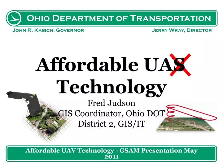
Affordable UAV Technology - GSAM Presentation May 2011. Affordable UAV T echnology Fred Judson GIS Coordinator, Ohio DOT District 2, GIS/IT. S. UAVUAS Information. Unidentified Flying Object (UFO). Unmanned Aerial Vehicles (UAV) Unmanned Aviation Systems (UAS)

E N D
Affordable UAV Technology - GSAM Presentation May 2011 Affordable UAV TechnologyFred JudsonGIS Coordinator, Ohio DOTDistrict 2, GIS/IT S
UAV\UAS Information • Unidentified Flying Object (UFO) • Unmanned Aerial Vehicles (UAV) • Unmanned Aviation Systems (UAS) • FAA Certificate of Waiver or Authorization (COA) • Certificate for UAS Operations for A Specified Period of Time • December 1, 2010, there were 273 active COAs Affordable UAS Technology - GSAM Presentation May 2011
ODOT Justification • Documentation of the lifecycle of a project. • Preconstruction • Survey • Planning • During Construction and Post Construction • Contractor Compliance • Project Documentation • Asset Capturing Affordable UAS Technology - GSAM Presentation May 2011
ODOT Justification • Imaging of existing transportation infrastructure. • Asset Capturing • Roadway Deficiencies • Frequent Flooding • Alignment\Sight Distance Issues • Slope or Subsidence Issues • Enhanced Evaluation of Roadway Emergencies Affordable UAS Technology - GSAM Presentation May 2011
Swinglet CAM – SenseFly LLC 1 Hour Battery GPS and IMU Air Speed Sensor 2.6 Feet Elect. Motor 18-30 mi/h Crash-Resistant Flexible Airframe Built-in Data Link 2.4 GHz, 1 Mile Inexpensive Easy To Fly High Resolution Aerial Imagery Affordable UAS Technology - GSAM Presentation May 2011
Swinglet CAM – SenseFly LLC • Flight Performances • 30 minutes flight time with a fully charged battery. • The cruise speed is 10 m/s (36 km/h, 22 mph). • The climb rate is about 3 m/s. • The maximum wind speed is 7 m/s (25 km/h, 16 mph) Affordable UAS Technology - GSAM Presentation May 2011
Cost Savings • ODOT’s Existing Plane • Cost - $3 Million • Operation Cost $270 - $440 per hour • Aerial Imagery and LiDAR • UAS – Swinglet CAM • Cost - $11,500 (0.4% of Existing) • Operation Cost $30 - $60 per hour (13% of Existing) • Aerial Imagery Only Affordable UAS Technology - GSAM Presentation May 2011
Swinglet CAM – SenseFly LLC • Landing http://www.sensefly.com/products/swinglet-cam/ Take Off Flight Controls Affordable UAS Technology - GSAM Presentation May 2011
Swinglet CAM – SenseFly LLC Affordable UAS Technology - GSAM Presentation May 2011
SwingletCAM and Pix4D http://www.youtube.com/watch?v=ABunN749_S8 • Pix4uav • Solutions for UAV Imagery • Creation of Digital Surface Models • http://pix4d.com Affordable UAS Technology - GSAM Presentation May 2011
Swinglet CAM – SenseFly LLC • 2 Propellers • Transport Box • User Manual • 1 Year Software Update Airplane Autopilot Software 12MP Camera Radio Modem Remote Control 2 Batteries Battery Charger Affordable UAS Technology - GSAM Presentation May 2011
Information and Questions • ODOT Justification • https://extranet.dot.state.oh.us/groups/gsam/ • FAA COA Information • ‘http://www.faa.gov • Swinglet CAM • ‘http://www.sensefly.com/products/swinglet-cam/ • Pix4D • http://pix4d.com/ Affordable UAS Technology - GSAM Presentation May 2011
GPS Photo Scanner SoftwareJon WoyameApplication Developer, Ohio DOTDistrict 2, GIS/IT GPS Photo Scanner Software - GSAM Presentation May 2011