Download

1 / 6

E N D
1. Proposal for an Oregon GIS Utility Executive Summary of Preliminary Business Case and Next Steps
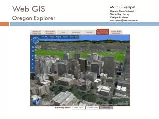
2. GIS Utility Vision Statewide information utility
Supports planning, assessment, analysis
Serves all levels of government
Provides data for emergency response, social services, economic development, and environmental management
Provides widespread access to government information Eliminates the need for government agencies to spend time looking for or creating base data
Links data from distributed sources and multiple levels of government to solve problemsEliminates the need for government agencies to spend time looking for or creating base data
Links data from distributed sources and multiple levels of government to solve problems
4. Underlying Assumptions No new money
$30M State funds over 6 years
$170M leveraged from Feds, locals, private
State spends $160M/yr now on geospatial data collection, management, use
GIS Utility is a partnership whereby business plans for all government agencies in Oregon are aligned for mutual benefit
5. Status Create Phase 1 statement of work (Done)
Ask OGIC to reprioritize Framework funds
Expend up to $500K on Phase 1 (Done)
Release RFP for Phase 1 work (Done)
Complete Business Case based on Phase 1 results (go/no-go decision)
Seek approval for Business Case from OGIC, Governor, Legislature
6. Phase 1 Statement of Work Technology Infrastructure Assessment
Hardware, software, applications, staffing
Assessment of Existing Data, Agreements, and Stewardship Commitments
GIS Utility System Design
Cost and Schedule Estimates
Assessment of Project and Program Risks
Project Plan for Phases 2 & 3
Business Case Completion
7. General Timeline