Download
1 / 18
250 likes | 703 Views
Module: GIS tools for renewable energy sources. Lec.1: Introduction to renewable energy sources. Kamilia Mukhanova Department Heat, Gas Supply and Ventilation, KSUCTA. Lecture plan. Explain renewable and non-renewable energy sources Types of renewable energy Use of each energy sources

E N D
Module: GIS tools for renewable energy sources.Lec.1: Introduction to renewable energy sources KamiliaMukhanova Department Heat, Gas Supply and Ventilation, KSUCTA
Lecture plan • Explain renewable and non-renewable energy sources • Types of renewable energy • Use of each energy sources • GIS for renewable energy
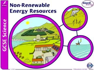
Energy resources Non-renewable Energy • Oil • Coal • Natural Gas • Nuclear Energy Renewable Energy • Solar Energy • Wind Power • Wave and Tidal Power (Ocean energy) • Geothermal • Biomass • Hydropower
Solar Energy The Sun gives off radiating waves of heat and light energy How it works? • Solar heating • Solar hot water • Solar electricity • Solar power plant
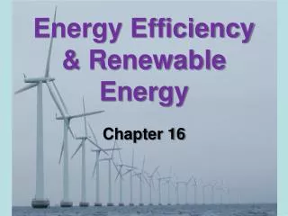
Wind Energy Horizontal movement of the air is called wind. Wind is the result of the sun's uneven heating of the atmosphere How it works? Wind turbines directly generate electricity Quite efficient (not a heat engine)
Biomass Energy How it works? • Traditional: combustion of wood as fuel • Production of a liquid or gaseous biofuels • Biogas from digestion of biomass in the absence of oxygen • Bioethanol from fermentation, often from corn, sugar cane. • Biodiesel from rapeseed and other sources
Geothermal Energy Uses heat from the earth's internal geologic processes in order to produce electricity or provide heating. How it works Geothermal power plants Use earth’s heat to power steam turbines Geothermal direct use Use hot springs (etc) as heat source Geothermal heat pumps
GIS for Renewable energy • Helps characterize the energy density of renewable energy sources that vary with TIME and LOCATION • GIS tools support strategic planning of new facilities and developing scenarios with different technological possibilities in the field of renewable energy
GIS for Renewable energy • GIS tools help • save time and money when determining where andhow renewable energy sources (RES) should be used • identify areas with high potential for developing RES, • identify areas with restrictions on RES exploitation (environmentally, economical or social) • site renewable energy facilities • assess the potential of RES
GIS software • GIS software for RES mapping • ArcGIS • GRASS • SAGA • ???
ArcGIS • Advanced Analysis and Geoprocessing • Increase understanding and improve decision-making using powerful modeling and analysis tools. • Powerful Editing Tools • Simplify data design, input, and cleanup with advanced editing capabilities. • Full Cartographic Production Process • Automate many aspects of cartography, making intelligent map production a less time-consuming task. • Unlimited Sharing of Data and Maps • Easily create and share information with individuals, groups, or organizations. (from www.esri.com)
SAGA SAGA a desktop GIS core features • Scientific modules • Import/Export to different file formats • Reprojection/Resampling of data • Manipulation of point clouds from lidar data • Image analysis • Digital Terrain Analysis • Geostatistics: modules for variogram fitting and kriging • Managing and visualising data, 3D visualisation • SAGA can be accessed from the R statistical language through the RSAGA module