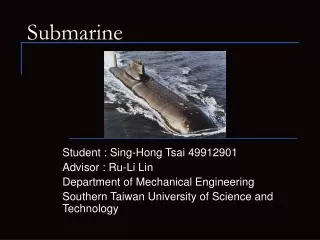
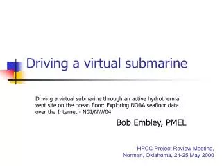
Driving a virtual submarine
Discover the depths of oceanic hydrothermal vents through an immersive virtual submarine simulation. This project, despite initial delays, has made significant progress and now allows users to "fly" through a 3D terrain based on real bathymetric data from the East Pacific Rise. Users can interactively explore features like black smoker chimneys and tube worms while accessing embedded links to real videos and photos. The simulation focuses on the NeMO Observatory and recent volcanic eruptions at Axial Volcano on the Juan de Fuca Ridge. Join us in this groundbreaking exploration of the underwater world!

Driving a virtual submarine
E N D
Presentation Transcript
Driving a virtual submarine Driving a virtual submarine through an active hydrothermal vent site on the ocean floor: Exploring NOAA seafloor data over the Internet - NGI/NW/04 Bob Embley, PMEL HPCC Project Review Meeting, Norman, Oklahoma, 24-25 May 2000
StatusDriving a virtual submarine • There have been some unfortunate but unavoidable delays • Funds arrived 3 months later than we expected • The lead developer (at Stanford) changed jobs • It took a long time to complete the PMEL/Stanford contract • Then the contractor had difficulties in hiring staff • Therefore, the project is behind schedule • However, now that the project is underway, progress has been excellent.
Example resultsDriving a virtual submarine • Quick time movie… • Alvin submarine “flying” around a 3D hydrothermal vent on the sea floor • fly-through of a 3-D terrain that is based on a real hydrothermal vent site on the East Pacific Rise. The terrain is from high-resolution bathymetry, then it is draped with a "texture map" that is based on video and photographs for the bottom, and finally additional 3-D objects like black smoker chimneys and tube worms are added in. This 3-D environment is then used as the basis of an interactive program that lets users move from site to site as if they were in the Alvin submersible. There are hot-links embedded in the environment which link to real video and photographs of specific features of interest. This project is focused on a different area: the NeMO Observatory and the recent eruption at Axial Volcano on the Juan de Fuca Ridge • http://newport.pmel.noaa.gov/~chadwick/alvinSnd3.mov • Quick time virtual reality (QTVR) of a sea floor scene near a vent… • Zoom in and out, turn through 360 degrees • http://www.geol.ucsb.edu/~weiland/epr_qtvr.html
Quick time movieScreen snapshot http://newport.pmel.noaa.gov/~chadwick/alvinSnd3.mov