Download
1 / 30
390 likes | 682 Views
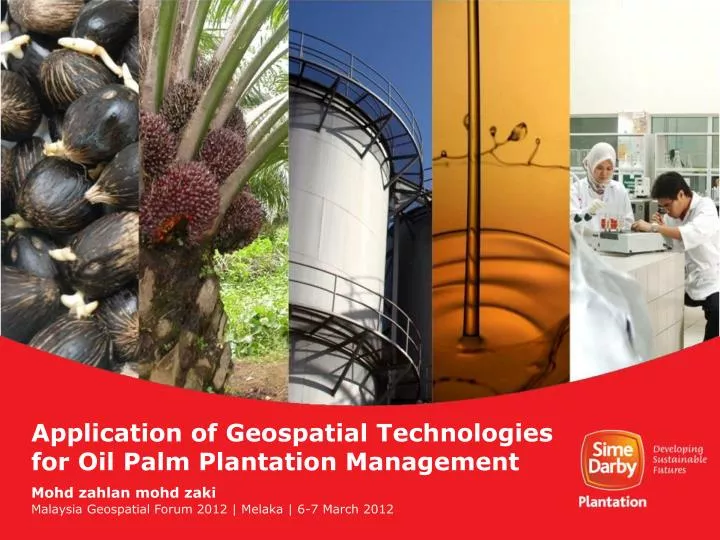
Application of Geospatial Technologies for Oil Palm Plantation Management. Mohd zahlan mohd zaki. Malaysia Geospatial Forum 2012 | Melaka | 6-7 March 2012. “The location of information is what makes the information powerful!”. Overview Introduction Applications Oil Palm Yield Forecasting

E N D
Application of Geospatial Technologies for Oil Palm Plantation Management Mohdzahlanmohdzaki Malaysia Geospatial Forum 2012 | Melaka | 6-7 March 2012
“The location of information is what makes the information powerful!”
Overview Introduction Applications • Oil Palm Yield Forecasting • Nutrient Mapping • Yield and Growth Analysis • Terrain Analysis • Hydrological Modelling Micro-UAV imaging
Introduction What? The Technologies • Remote Sensing • Global Positioning System (GPS) • Geographical Information System (GIS) • etc.
Why? Introduction (Cont.) • accuracy (accurate information) • cost-effectiveness • better perspective, • enhance communication • quick decision making.
When? Introduction (Cont.) 1997 NOW 2005 2012 2007 15 1997 years Evolution of Geospatial Technology
Introduction What? Current Key Projects • Oil Palm Yield Forecasting • Accurately forecast oil palm yield for the next financial year • Accuracy of ≥95% at estate level • Site Yield Potential • Establishing achievable and realistic long term yield target based on site specific criteria
Oil Palm Yield Forecasting (Cont.) • In principles, different kind of surface materials can be distinguished from each other by differences in reflectance. CT38 (12.5 MT/ha) 01 A (25.5 MT/ha) 01 D (32.2 MT/ha) 02 D (36.5 MT/ha) Reflectance Index Case Study: Carey Island (2009) Ground Truth Sensor: Spectroradiometer Wavelength (nm)
Oil Palm Yield Forecasting (MT/Ha/Yr) Field : 84C Year after planting in 2007 : 23 Spectral age: 16.74 Yield (CIFOS/Actual) : 19.68/19.60 MT/Ha Accuracy: 99.61% Data Source: Landsat (30m) Data Cost: Free Download 13-14 14-15 15-16 16-17 17-18 18-19 19-20 20-21 21-22 22-23 23-24 24-25 25-26 26-27
Leaf Area Index & Nutrient Mapping Data Source: SPOT-XS (20m) Data Cost: RM 0.005/ha
Yield Performance Index (%) Variance – Actual vs. SYP
Growth Performance Index (%) Variance – Spectral vs. Actual
Palm Management Performance Index FY08/09 FY09/10
Palm Growth Assessment High Resolution Image Digital Image Processing: LPF Digital Image Processing: Intensity Scaling Data Source: Quickbird (0.68m) Data Cost: RM 0.60/ha (cont.)
B A B A Palm Growth Assessment C Excellent Palm D Abnormal growth, relatively small CSupply Palm Final Image DVacant area Normal palm, but was identified having leaning problem.
Terrain Analysis Slope Analysis Digital Elevation Model (DEM) Data Source: SRTM (30m) Data Cost: Free
Terrain Analysis Slope Analysis Digital Elevation Model (DEM) Data Source: IFSAR (5m) Data Cost: RM 1.40/ha
3D Terrain Analysis (Excise area above 25° for conservation) Data Source: SRTM (30m) Data Cost: Free Download
Hydrological Modelling Data Source: SRTM (30m) Data Cost: Free Download
Micro-UAV Imaging • Types… • Advantage… • Drawbacks… • Potential…
Micro-UAV Imaging Yield and Growth Analysis: Identify Problematic Areas Data Source: CropCAM UAV (0.2m)
Micro-UAV Imaging Hecto-copter Outbreak surveilance
Conclusions • Advancement in geospatial technology provides reliable high quality data on large scale, speedily and cost effectively. • 1 Data : MULTIPLE application. EXPLORE! • Powerful and useful agro-management tool for precision agriculture to enable sustainable oil palm cultivation.
“Effort is important, but knowing where to make an effort makes all the difference”
Thank You mohd.zahlan.zaki@simedarby.com