Download

1 / 26
260 likes | 398 Views
The National Hydrographic Dataset As the Basis for Idaho ’ s Water Data. Zach Maillard GIS Analyst Idaho Dept. Of Water Resources. Overview. Acquiring and Processing NHD Incorporating Existing Water Right Data Into NHD NHD Network Analysis Integrating Real Time Stream Gauge Data Into NHD

E N D
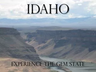
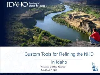
The National Hydrographic Dataset As the Basis for Idaho’s Water Data Zach Maillard GIS Analyst Idaho Dept. Of Water Resources
Overview • Acquiring and Processing NHD • Incorporating Existing Water Right Data Into NHD • NHD Network Analysis • Integrating Real Time Stream Gauge Data Into NHD • Future Projects
Acquiring The National Hydrographic Dataset (NHD) • Download each Basin (85 for Idaho) • Each Basin Is In Personal Geodatabase format
Processing the NHD • Append • Incorporate each basin into one statewide dataset • Re-Project • NHD is distributed in Geographic NAD 83. • IDWR uses Idaho Transverse Mercator • Load Into ArcSDE • Maximum size of Personal Geodatabase: 2GB • Clean data • Remove duplicate arcs • Remove overlapping hydrologic basins • Verify network connectivity between basins
NHD Issues • Editing the NHD • Missing 2 ½ NHD basins (Jordan Creek, Lower Snake/Asotin, and part of Lake Pend Oreille) • NHD data quality • Names • Canal Names • Gaps in network
Using The NHD As A Water Right Framework • Extending the NHD to handle water rights • A water right consists of two (spatial) components • Point of Diversion (POD): Diversion from live flow. • Place of Use (POU): Area where the water will be used.
Before Snap After Snap Adding Existing Water Rights To NHD • Attach points to network • Current framework is 100K streams, and GCDB. Need to migrate those points to the more detailed 24K stream network.
Stream Showing Flow Direction Network Analysis • Flow direction • Can model water flow
Trace Results: All Segments Downstream of Flag Network Analysis TasksTrace Downstream Place Network Flag
Network Analysis TasksTrace Downstream • Follows stream flow direction to the lowest point in the system basin • In Idaho can trace downstream from Palisades Res. on the Snake River at the Wyoming border, to the Snake/Clearwater River confluence in Lewiston
Network Analysis TasksTrace Downstream Snake/Salmon Confluence Palisades Res.
Trace Results: All Stream Segments Upstream Of Flag Are Selected Place Network Flag Network Analysis TasksFind Upstream Accumulation
Network Analysis TasksFind Upstream Accumulation • Find all segments upstream of a network flag • Can be used to find all Point of Diversions upstream from a location of a new water permit application. • Find the oldest priority date above a diversion.
Using The NHD As A Water Right Framework Find Total Upstream Diversion Rate
Using The NHD As A Water Right Framework All Diversions Upstream Of Network Flag
Using The NHD As A Water Right Framework Results: Selected Diversions and Total Diversion Rate
Real Time Gauge Information • USGS – NWIS Web • Bureau Of Reclamation • Hydromet: Stream Gauges • Hydromet: Lake levels and storage • Idaho Power • Lake levels in Hells Canyon • Stream Gauges
Integrating Stream Gauge Into NHD • View stream flow in real time • Use data stored from multiple internet sources as a single GIS layer • Can be used to verify upstream diversion rates
Real Time Gauging Station Data Bureau of Rec. Gauging Stations and NHD
Real Time Gauging Station Data Retrieving Gauging Stations Attributes In ArcMap
Real Time Gauging Station Data Retrieving Gauging Stations Charts In ArcMap
Reservoir Data Retrieving Reservoir Storage Data In ArcMap
Future Projects • Migration From ArcView 3.x to ArcGIS • Desktop/Server/Engine? • Web-based Water Right Applications • Have applicant create digital boundary of POU on the web. • Digitize POD on screen