Download
1 / 31
310 likes | 477 Views
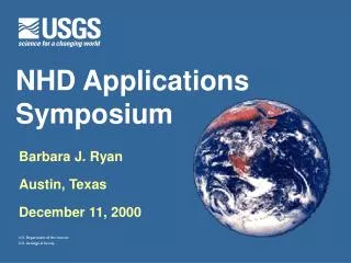
NHD Applications Symposium Austin, TX Dec 11-14, 2000. Development of key Spatial Water Datasets. National Hydrography Dataset (NHD) National Elevation Dataset (NED) Land Cover Dataset (MRLC) Watershed Boundary Dataset (WBD). Watershed Boundary Dataset . WBD. Hydrologic Units.

E N D
Development of key Spatial Water Datasets • National Hydrography Dataset (NHD) • National Elevation Dataset (NED) • Land Cover Dataset (MRLC) • Watershed Boundary Dataset (WBD)
Hydrologic Units 2-digit= 1st level = 22 regions 4-digit= 2nd level = 222 subregions 6-digit= 3rd level = 789 accounting 8-digit= 4th level = 2223 cataloging new! 10-digit= 5th level = ~22,000 watersheds 12-digit= 6th level = ~160,000 subwatersheds
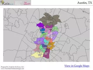
CO KS NM OK TX
Watershed Boundaries Dataset(WBD): Why is it needed? • 8-digit Cataloging Units too large • uniform, widely accepted boundaries • Need a standard nomenclature, ID’s, names • Speed up basin/drainage area delineation
NED/NED-H/WBD “vision” • Integration with NHD streams • correct stream density differences between quads • Reach catchments for every reach in NHD • flow statistics for every reach in NHD • velocity, time of travel • complete WBD (aggregate to HUC-10 & -12) • improved hydrologic models
Unified Federal Policyfor A Watershed Approach to Management of Federal Land and Resources
Jan 17-18 Regional HUC Meetings
stats • 11 regional meetings • 44 states attended • ~400 people representing over 60 organizations
Methods / Approachesto delineating watersheds/subwatersheds • manual • semi-automated (computer assisted)
Benefits of Semi-Automated Approach • Substantial labor, time savings • Pilot studies will measure actual savings • Consistent approach applicable nationwide • Better boundaries result from combining strengths of NED and hypsography. • Integrated datasets!
“draft” MANUAL vs AUTOMATED don’t know manual automated
difficulties encountered. . . • state-by-state inherently problematic • characteristics change as state boundary is approached - smaller, less true basins • streams as boundaries • estuaries subdivided • water does not flow to a single outlet • reservoirs divided with straight lines
difficulties encountered. . . • large size differences within a given level - “salt & pepper” effect • Cataloging Unit boundary incorrect • coastal areas • state & federal agencies NOT involved • “attribute schema” needs to be more robust
difficulties encountered. . . • Two national guidelines!
Subcommittee on Spatial Water Data Coastal Watersheds Work Group Guidelines Work Group FGDC HUC Interagency Guideline
SUBCOMMITTEE Guidelines Workgroup Meeting, April 10&11, 2000
Meeting Results: • one unified federal “guideline”, accepted by all agencies • modification of existing FIPS to encompass “watersheds” & “subwatersheds”
Meeting Results: • names • region,subregion,basin,subbasin,watershed,subwatershed • naming convention for watersheds/subwatersheds • numbering - headwaters to mouth increasing by one • topographic flow • natural flow vs man’s pertubations (ditches, canals) • enhanced hydrologic attribution • ability to move upstream /downstream
Subcommittee on Spatial Water Data Coastal Watersheds Work Group Guidelines Work Group FGDC HUC Interagency Guideline
Stage 1 processing“blind pass” • NWS, EROS, maybe others • build NED-H datasets • slope,aspect,flow direction, flow accumulation grids • build synthetic reaches • build reach catchments • conflate to NHD
Stage 2 processing • Partners • Assemble 5th & 6th level hydrologic units • local knowledge • note problem areas/incompatabilities
Stage 3 processing • EROS team • adjudication of NED & NHD • DEM dozer • NHD team • placement in NED-H server (BAS) for access by partners
IT WILL FAIL! This is an opportunity...
Other automated techniques . . . • “burning in” vs NED-H • Key Goal: integration of datasets!
GIS-Hydro Consortium Development of water resources geo-object model Integrates the major national water-resource geospatial data sets Enabling technologies…
For additional information visit... water.usgs.gov/wicp www.fgdc.gov www.ftw.nrcs.usda.gov rrpierce@usgs.gov ahrea@usgs.gov