Download
1 / 11
110 likes | 133 Views
This overview discusses the contributions and upcoming activities of the GEOGloWS and AquaWatch initiatives in improving water resources management and decision-making through Earth observation data. It highlights the implementation of streamflow forecasting services, partnerships with regional platforms, capacity building efforts, and the development of a global water quality monitoring and forecasting service.

E N D
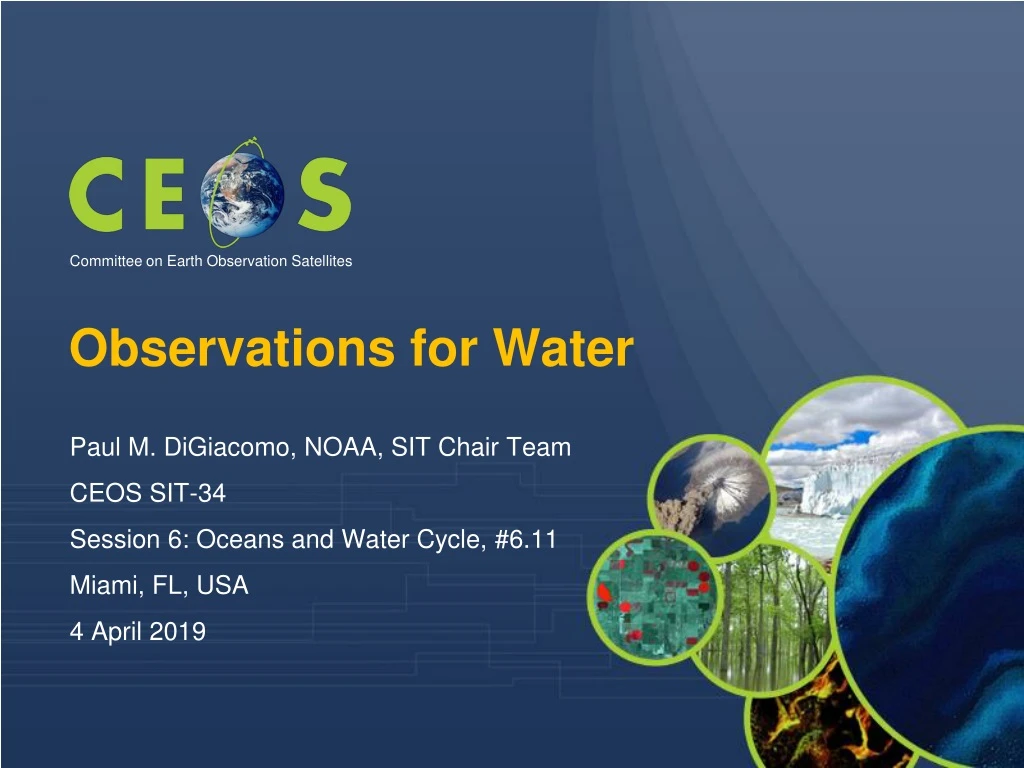
Observations for Water Committee on Earth Observation Satellites • Paul M. DiGiacomo, NOAA, SIT Chair Team • CEOS SIT-34 • Session 6: Oceans and Water Cycle, #6.11 • Miami, FL, USA • 4 April 2019
Overview Brief Review of Water-related GEO and other International Activities: • GEOGLOWS Water Initiative for GEO • AquaWatch Water Quality Initiative for GEO • Blue Planet: Oceans and Coasts Initiative for GEO • First International Operational Oceanography Symposium (OSO)
GEOGLOWS Initiative Most significant contributions of GEOGloWS as of March 2019: • The implementation of the GEOGloWSGlobal streamflow forecasting service at ECMWF. (BYU-ECMWF leads) • Response to the GEOSS Water Strategy and moving forward with the definition of EWVs (NASA- CNES leads) • Improving the integrated water resources management and climate change adaptation schemes within the Space Climate Observatory over the main African basins and in close cooperation with national agencies and basin organizations. (CNES leads) • Through a partnership with the AmeriGEOSS Platform, GEOGLOWS is pursuing the development of the “Water Accounting Framework” in the Américas(Regional lead). • Increasing the contributions of hydrometeorological products by GEO members in the regional GEOSS projects through GEONETCast-A, SERVIR, TAHMO (primarily through the H2020 TWIGA project) and other GEO systems (Various leads)
GEOGLOWS Initiative Selected upcoming GEOGLOWS Activities for 2019 - 2022 • Use of disruptive technologies (web services) in the way that actionable satellite data can be delivered locally for making water resources decision (BYU leads) • The implementation of the GEOGloWS technical development for the Global meteorological and streamflow forecasting service from the NOAA’s GFS are being piloted to deliver output through web services. (Esri-BYU-Aquaveo leads). • AIP/Disaster Pilot: Lead by OGC and NEXTGEOSS with the support of the WMO. (OGC-WMO collaboration) • A Drought operational system for Latin America: CEMADEN-ICHARM-NOAA Collaboration (CEMADEN-ICHARM-NOAA leads) • Through the H2020 TWIGA project, development of new sensors, to improve and extend in situ networks and provide actionable information for water management and flood risk reduction in sub-Saharan Africa (TWIGA-African partners leads) • Capacity Building: AmeriGEO (AmeriGEO Week - August 19 - 23 Lima, Peru -GEOGloWS Services for Global Streamflow and other water data services in support of National/Regional Water Priorities)
AquaWatch Initiative FIVE WORKING GROUPS : www.geoaquawatch.org Mission: The mission of the AquaWatch Initiative is to improve the coordination, delivery and utilization of water quality information for the benefit of society. Flagship Water Quality Information Service Goal: The goal of AquaWatch is to develop and build the global capacity and utility of Earth Observation-derived water quality data, products and information to support water resources management and decision making. AquaWatch is working to produce a global water quality monitoring and forecasting service by 2025. Tasks to develop this service are organized around seven work packages. This effort will enable users open access to readily available water quality data through data sharing & capacity building, particularly in developing countries. AquaWatch Leads: Steven Greb, University of Wisconsin Madison USA srgreb@wisc.edu Dr. Paul DiGiacomo, NOAA USA Paul.DiGiacomo@noaa.gov Dr. Arnold Dekker, SatDek Pty Ltd, Australia Arnoldgdekker@gmail.com AquaWatch Secretariat:info@geoaquawatch.org Our current efforts are focused on developing a baseline product and end-to-end prototype demonstration.
AquaWatch Initiative • Planned Activities for 2019 • CEOS WGISS/AquaWatch Collaboration • Future Data Architecture, Interoperability needs, Validation and Potential Pilot • Presenting at the GEO Data Technology Workshop in Vienna in May 2019 • Showcase LIMNADES validation database project • Poster at ESA - Living Planet in April 2019 • Capacity Building Survey will be shared globally • Identifies training & outreach needs • Use of EO in Water Quality reporting • In French, Spanish, English, German, Mandarin • We will host a Knowledge Hub on our website to encourage best practices and showcase: • Review Paper: Integrating inland and coastal • water quality measures: merging data for • actionable knowledge (In Prep) • Citizen science applications (3+) • Algorithm library, optical standards for optical properties, inventory of protocols • Fit-for-Purpose Brochure of available products & services • “AquaWatch Recommended” training guidelines www.geoaquawatch.org • Recent Accomplishments • Booklet:Advanced Techniques • for Monitoring Water Quality • Using Earth Observation • Successful joint AquaWatch-GloboLakes biennial meeting at University of Stirling, UK Hosted by Andrew Tyler, UK, Aug. 29-31, 2018 • workshop report now available and links to talks on website • Arnold Dekker chaired the CEOS Freshwater From Space Workshop in November 2018 • Ocean Optics Town Hall 2018 • Continuation of the popular webinar series • Advertising for a 2 year NASA-postdoc opportunity • Emphasis on Validation • Stationed with Dr. Stephanie Schollaert-Uz at NASA-Goddard, Greenbelt, MD • Updated In Situ Inventory available on website
Blue Planet Initiative • Publications/Reports • GEO Blue Planet (in press). Ocean Observing for Societal Benefit. Journal of Operational Oceanography • B. Mackenzie et al. (2019) The role of stakeholders and actors in creating societal value from coastal and ocean observations. Frontiers in Marine Science • E.A. Smail et al. (Manuscript submitted for publication). Ocean Observations to Underpin Policy: Examples of Ocean Observations in Support of the Sendai Framework, UNFCCC, and Sustainable Development Goal 14. In A. Kavvada and D. 557 Cripe (Eds.), Earth Observation Applications and Global Policy Frameworks. Washington, DC: AGU • GEO Blue Planet (2018). What can the ocean tell us? Why ocean observation products and services are vital for us and our planet. • SDG 14.1.1 • GEO Blue Planet currently has a task team working to support the United Nations Environment Programme on the methodology development of SDG 14.1.1 (Index of coastal eutrophication and floating plastic debris density). Recent Activities • 4th GEO Blue Planet Symposium • Various user engagement workshops & project spin-ups • Publications & Reports • Supporting UN Environment on SDG 14.1.1 • Expanding Secretariat • 2020 – 2022 Implementation Plan Draft submitted and available at: https://geoblueplanet.org/about/
Blue Planet Initiative Upcoming GEO Blue Planet Projects & Activities Multi-Hazard Information and Forecasting System for the Wider Caribbean: monitoring and alerting the region to oil spills and floating sargassum beachings. Provide a publicly available monitoring and alert system based openly available satellite and in-situ data. Early Warning System for Marine Flooding in Reef-lined Islands: to provide short-term forecasts of flooding for proper evacuation and preparedness time. Determining reef and island geography & in-situ model validation (waves, water level, flooding obs) is key. Marine Debris Working Group: Monitor, classify and quantify the flow of plastics into the ocean. Need to understand the impact to the health of the ocean Library of ocean observation use cases: working in collaboration with U.S. IOOS to develop a map-based library of ocean observation use cases Oceanscape: this oceanscape project will be an interactive web-based interface to display information about ocean observing organizations.
First International Operational Oceanography Symposium 18-20 June 2019 College Park, MD USA Registration now open! Go to coastwatch.noaa.gov for further information
Summary and Next Steps • There is a crucial need for CEOS water (inland, estuarine and marine) observations to support monitoring and forecasting activities for GEO and broader international user communities (SDGs et al.) • There has been significant progress the past year to coordinate the various freshwater observation requirements for these various communities (NB: Agenda item 6.12, A. Held) • Similarly, significant ocean activities have taken place (e.g., 4th Blue Planet Symposium, July 2018) and likewise are planned this coming year to better link data providers and users and to improve coordination for ocean and coastal activities (e.g., Ocean Predict ’19 in May 2019; 1st International Operational Satellite Oceanography Symposium in June 2019; Ocean Obs ‘19 in September 2019; UN Decade of Ocean Science, 2021-2030) • As discussed here and earlier agenda items (6.8), the opportunity & need exists for greatly enhanced CEOS engagement; for further discussion…