Download
1 / 19
190 likes | 207 Views
Learn about the various uses of LiDAR technology in drainage management, including watershed delineation, culvert sizing, concept design, plan reviews, resolving landowner disputes, hydraulic modeling, and flood mapping.

E N D
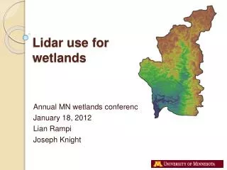
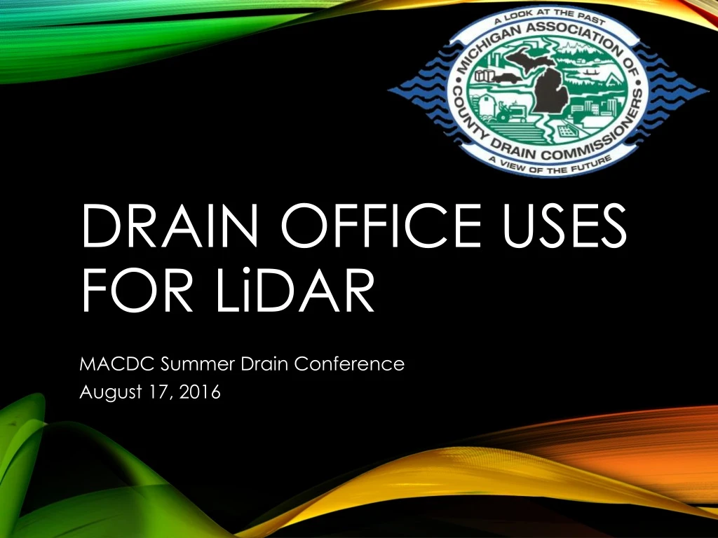
Drain office uses for LiDAR MACDC Summer Drain Conference August 17, 2016
Eric DeibelEaton County Deputy Drain CommissionerMarya Colpaert, P.E., LEED APSaginaw County Deputy Public Works CommissionerSteve Roznowski, P.E.Project Manager, Spicer Group, Inc. INTRODUCTIONS
Light Detection and Ranging (LiDAR) • Various types • Aerial LiDAR - Collected by survey aircraft • Used by the USGS • Has replaced contour maps • Mobile LiDAR – Collected by truck, boat, etc. • Static LiDAR WHAT IS LiDAR?
WHAT IS LiDAR? LiDAR USGS Quadrangle
Day of Review of Drainage District Boundaries • Watershed delineation • Culvert Sizing • Concept Design • Plan Reviews • Resolving Landowner Disputes • Hydraulic modeling • Flood mapping USES OF LiDAR
Drainage district boundaries • Partial acreage • Flow paths • Meeting with landowners DAY OF REVIEW
Determine culvert size for installation or replacement • Calculate upstream area • Estimate cover over crossing CULVERT SIZING
Verify elevations • Review offsite drainage • Reduce future problems • Minimize disputes with neighbors • Compare to other GIS information • Drains, roads, parcels, etc. • Phased development PLAN REVIEWS
Supplement survey information • Identify feasible alternatives • Do I have enough grade? • Existing overland flow patterns • Estimate earthwork quantities CONCEPT DESIGN
Earth change causes flooding • Review drainage patterns • Identify historical conditions • LiDAR • Aerial photography • Compare to current conditions LANDOWNER DISPUTES
Supplement survey data • Estimate extent of flooding • Allows for detailed flood mapping • Calculate/verify upstream drainage area HYDRAULIC MODELING
Great tool for public presentations • Can also get depth information • Depths approximate • Only as good as the model • Anecdotal information helpful FLOOD MAPPING
Aerial LiDAR is a valuable tool • Understanding limitations is necessary • Limited accuracy in some instances: • Under water • Abrupt changes in grade and steep slopes • Very detailed or subtle changes in grade • Snapshot in time LIMITATIONS OF LiDAR
Aerial LiDAR has many uses • Saves money • Asset available at your finger tips • Great for understanding drainage • Supplement to survey work • Important to understand limitations RECAP
Does your office use LiDAR? • What do you use it for? • Do you have suggestions? • What has been your experience? • What use do you find most beneficial? DISCUSSION AND QUESTIONS