Download
1 / 22
220 likes | 239 Views
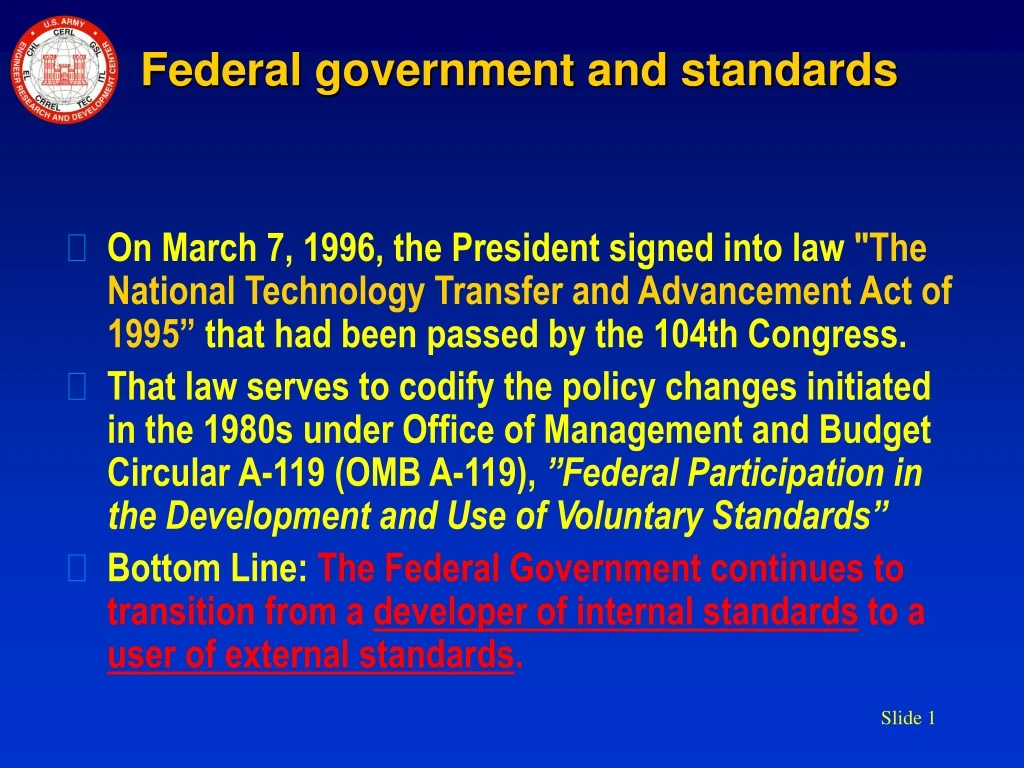
Federal government and standards. On March 7, 1996, the President signed into law "The National Technology Transfer and Advancement Act of 1995” that had been passed by the 104th Congress.

E N D
Federal government and standards • On March 7, 1996, the President signed into law "The National Technology Transfer and Advancement Act of 1995” that had been passed by the 104th Congress. • That law serves to codify the policy changes initiated in the 1980s under Office of Management and Budget Circular A-119 (OMB A-119), ”Federal Participation in the Development and Use of Voluntary Standards” • Bottom Line: The Federal Government continues to transition from a developer of internal standards to a user of external standards.
Standards Authority Public Law 104-113 Regulatory Legislative Office of Management and Budget Circular A-119
Joint - DoD INCITS L1 ANSI Federal SISO ISO TC211 NGO CADD-GIS Tech Center Standards WG Geospatial Intelligence (GEOINT) Standards WG DGIWG Open Geospatial Consortium FGDC Standards WG NATO
The Army Battlespace Environment Registry of Federated Feature Data Dictionaries Acknowledgments to Dr. Dale D. MillerAnnette Janett FilerMelissa Nakanishi Dr. Paul A. Birkeland Denise Hovanec
ABE responds to DoD Direction “Data assets shall be made understandable by publishing associated semantic and structural metadata in a federated DoD metadata registry.” [1] • In accordance with recent DoD direction [1], concerning data made available within the GIG by any DoD organization. [1]DoD Directive 8320.2, "Data Sharing in a Net-Centric Department of Defense", 12/02/2004
Army Response to Net-Centric Data Strategy The U.S. Army, in conjunction with the National Geospatial-Intelligence Agency (NGA), is establishing a series of data dictionaries as a federated registry of geospatial data dictionaries for GEOINT data. The Army Battlespace Environment (ABE) Registers and ABE Profile are key components of this approach. [2] [2]Miller, et al; “The Army Battlespace Environment Registry of Federated Feature Data Dictionaries”, Paper 05F-SIW-097, Fall Simulation Interoperability Workshop, Orlando, Florida, September 2005
ABEA Registry of Feature Data Dictionaries • A feature data dictionary defines: • feature types, e.g. “road” • attribute types, e.g. “length”, “road surface” • enumerants, e.g. “pavement”, “gravel” • feature association types, e.g. “connects to”, • feature operation types , e.g. “get length” (a feature catalogue differs in that it contains bindings among the feature types, attributes, operations and associations.)
ABE and the Data Reference Model [3] DRM Standardization Areas Data Sharing Query Points and Exchange Data Description Data Context Data and Data Assets Taxonomies [3]Federal Enterprise Architecture, “The Data Reference Model, Version 2.0", 11/17/2005
The ABE Registry The ABE Registry federates a family of Community of Interest (COI) data dictionaries. The objective is to establish and evolve a Data Element Dictionary (DED) to meet transformation objectives of the U.S. Army. The ABE Registry contains registers of geographic information concepts used to characterize aspects of real world phenomena for different information communities. Each register establishes a Feature Data Dictionary (FDD) specifying independent sets of features and attributes that may be used to describe geographic, atmospheric, oceanographic and space information.
ABEBuilt upon Standards The ABE Registry makes use of a common structure and coding scheme across its component registers that conforms to ISO 19135, ISO 19110. ISO 19110 Geographic information — Methodology for feature cataloguing, Published Standard, Feb. 2005 ISO 19135 Geographic information — Procedures for registration of items of geographic information, Unpublished Standard, May 2005 This provides for flexible management of feature-related concepts and is used as a basis for harmonization and the establishment of interoperability between different geographic information communities
ISO TC211 Geographic Information/Geomatics 19103 -19103 - Conceptual schema language -19107 - Spatial schema -19108 - Temporal schema -19109 - Rules for application schema -19110 - Methodology for feature cataloguing -19111 - Spatial referencing by coordinates -19112 - Spatial referencing by geographic identifiers -19113 - Quality principles -19114 - Quality evaluation procedures -19115 - Metadata -19121 - Imagery and gridded data -19123 - Schema for coverage geometry and functions -19124 - Imagery and gridded data components -19126 – Feature data dictionaries, feature catalogues and their registers -19127 - Geodetic codes and parameters -19128 - Web Map server interface -19129 - Imagery, gridded and coverage data … -19130 - Sensor and data models … -19131 - Data product specifications -19135 - Procedures for registration of GI items -19136 - Geography Markup Language -19137 - Generally used profiles of spatial schema … -19138 - Data quality measures -19139 - Metadata - Implementation specification 19123 19109 19107 19111 19127 19110 19124 19112 19115 19137 19135 19108 19126 19113 19114 19138 19131
ABEA registry of registers • A register is “a set of files containing identifiers assigned to items with descriptions of the associated items” • A register will have a register owner and a register manager • A register may have subregisters • A profile of a register is a register subset • A registry is an information system upon which a register is maintained • A compound registry is one which contains multiple registers.
Consumers Feature Catalog(s) Data Product Specifications Data Models Application Schema Discovery Metadata ... Federating Geospatial COI Data Dictionaries AeronauticFDD Registry Hydrographic & LittoralFDD Registry TopographicFDD Registry Foundation Feature Data (FFD) Foundation Feature Data (FFD) Foundation Feature Data (FFD) Digital Topographic Data (DTOP) Digital Topographic Data (DTOP) Digital Topographic Data (DTOP) ABE Virtual Register Geo Intel FDD Registry Meteorology & OceanographicFDD Registry Sum of Profiles Of FDD Registries Facilities & InfrastructureFDD Registry Digital Topographic Support System (DTSS) Extended with Theater Geospatial Database (TGD) Integrated Meteorological System (IMETS) Urban Vector Map (UVMap) Battlespace Terrain Reasoning and Awareness (BTRA) Imagery
Registers currently supported in ABE • National System for Geospatial-Intelligence FDD (NFDD) • National profile of the Digital Geographic Information Working Group FDD (DFDD) with extensions • Based on Feature and Attribute Coding Catalogue (FACC) • Army Geospatial Concepts FDD • Identifies additional geographic information concepts used by U.S. Army • Army Geospatial Intelligence Concepts FDD • Identifies additional geographic intelligence concepts used by U.S. Army • SDS Facilities, Infrastructure, & Environment (SDSFIE) FDD • ANSI standard used for representation of facilities and infrastructure
Registers currently supported in ABE (continued) • Environmental Data Coding Standard (EDCS) Graphical Items Dictionary • Concepts from EDCS version 4.0, • Designed to support modeling and simulation • C2 Information Exchange Data Model Register • contains geospatial information concepts from the C2IEDM version 6.1.5 • Joint METOC Broker (JMB) FDD • identifies concepts from the Joint METOC Broker Language (JMBL) v. 3.0
ABE Registry – Web Accessible • Online information resource • Supports cross-register browse, search and download • Stores source and lineage metadata • Offers multi-lingual support • Provides full life-cycle recordkeeping • Allows for distributed collaboration • SSL encryption, password management, and multi-role access control
ABE Registry – Technology Agile Denotation • Vector Product Format for VPF-based products and applications • Satisfied by ASCII “short code” • Shapefiles, and Shapefile-based applications • ASCII “short code” • Web-based services, in particular Geography Markup Language (GML) • ASCII “long code”` • Geodatabases and other COTS object-relational environments • ASCII “medium code” • IDEF-1X (relational) models • ASCII “medium code” • Unified Modeling Language (UML) • ASCII “medium code” • Human-friendly presentation and analysis (e.g., “names”) • Compatible with FACC
Harvest Participate Research Analyze Identify Adjudicate Require Review Embrace Evolve Harmonize Extend Engage Publish Negotiate Denote Coordinate Adjudication and Harmonization • Embrace • existing dictionary element • Extend • dictionary as necessary • Collaboratively evolve • the COI DEDs and the ABE Profile
Final Words on ABE • The ABE Registry specifies concepts, definitions, and encodings for the geospatial domain • The ABE profiles required concepts from COI feature data dictionaries. • The ABE establishes a federated registry of Community of Interest (COI) feature data dictionaries based on an ISO-compliant information model and management mechanism.
Summary • The Army will continue to build the foundations of data interoperability to meet Army requirements as we: • Embrace authoritative concept representations • Engage, coordinate and communicate with COI data dictionary owners, • Evolve towards a DED that fully covers and supports the geospatial and intelligence aspects of the Army mission space. • A controlled vocabulary will serve as the basis for understanding and establishing data context and data sharing within the enterprise architecture.