Download
1 / 8
80 likes | 188 Views
This project focuses on developing a remote sensing-based approach to map urban forests nationally, deriving percent forest and impervious land cover. High-resolution images train moderate-resolution image classification for operational procedures. Objectives include creating operational procedures for deriving forest and impervious land cover. The approach involves model building and image processing tools to analyze various factors affecting urban land cover.

E N D
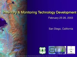
February 25-26, 2003 San Diego, California Inventory & Monitoring Technology Development USDA Forest Service, Remote Sensing Application Center, http://fsweb.rsac.fs.fed.us/
IMTD Supported Projects: 2002–03 Canopy Cover and Impervious Surface Mapping Rare Elements Inventory Develop Technology To Asses Effects of Flood Damage Utilizing Large Scale Aerial Photographs in an FIA Inventory Port ACAS software For use with Windows 2000
Forest Canopy Cover and Impervious Surface Cover – Analysis of Zone 41 Northeast Research Station North Central Research Station USGS EROS Data Center (EDC)
Percent Impervious Surface and Canopy Cover Analyses For USGS Mapping Zone 41 (Minnesota) • Objectives: • Develop a remote sensing-based mapping approach for urban forests that can be implemented nationally. • Operational procedures for deriving percent forest and impervious land cover • Approach: • High-resolution images train moderate-resolution image classification • Model building • Image processing tools
Elevation Aspect Slope Soil Quality Soil Carbon Soil Water Capacity Landsat Tassel Cap Urban Cover Mapping Approach
Percent Impervious Surface and Canopy Cover Analyses For Zone 41 (Minnesota) Canada 0 100 Lake Superior Percent Tree Covered Minneapolis / St. Paul Apply Cubist Results: Percent Canopy Cover Medium-resolution image classification USGS Zone 41
Percent Impervious Surface and Canopy Cover Analyses For Zone 41 (Minnesota) Duluth / Superior Percent Impervious Surface 0 100 Minneapolis / St. Paul Apply Cubist Results: Percent Impervious Surface Cover Medium-resolution image classification USGS Zone 41
Status and Potential Applications Status • Remote Sensing Tip – Available online at RSAC website • Project Report – Written, at technical editor • Tech Transfer – Models and tools in cooperators hands • Poster – Available Applications • 1st level stratification for urban forestry • Potential for wildland / urban interface studies • Water quality studies • Directly applicable to other univariate maps