Download
1 / 7
70 likes | 290 Views
USGS Fort Collins Science Center Remote Sensing and Invasive Species. Jeff Morisette, Tom Stohlgren, Catherine Jarnevich, Tracy Holcomb (USGS) with help from . . . Sunil Kumar, Paul Evangelista, Greg Newman, Mohammed Kalkhan, Jim Graham (CSU/NREL)

E N D
USGS Fort Collins Science CenterRemote Sensing and Invasive Species Jeff Morisette, Tom Stohlgren, Catherine Jarnevich, Tracy Holcomb (USGS) with help from . . . Sunil Kumar, Paul Evangelista, Greg Newman, Mohammed Kalkhan, Jim Graham (CSU/NREL) Sharon Gross, Annie Simpson, and Susan Haseltine (USGS HQ) and Gordon Brown (DOI) Woody Turner, Diane Wickland, Ed Sheffner, Jeff Pedelty, John Schnase (NASA) …and many others! Presented to the Landsat Science Team Meeting Fort Collins, Colorado January 6-8, 2009 Jeffrey.T.Morisette@usgs.gov 970-226-9144 Created Jan. 2009
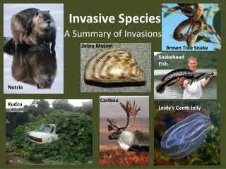
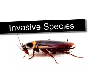
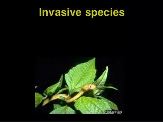
Prevention • Early Detection and Rapid Response • Control and Management • Restoration • Organizational Collaboration http://www.invasivespeciesinfo.gov/council/nmp.shtml
100 0 Temperature Precipitation Slope Elevation Our Current Approach: Predicting invasive spread through species distribution modeling Model algorithm Model predictions Response variable Predictor variables + Insert LDCM data here. Example: Potential habitat distribution of invasive plant dalmation toadflax (Linaria dalmatica) in Colorado, USA
http://naes.agnt.unr.edu http://hike.mountainzone.com Potential Future Direction: incorporate disturbance in habitat models, model vectors and spread, and better tracking through time. www.mountainhome.af.mi Cheatgrass (Bromustectorum )
delta Normalized Burn Ratio Scene 2: selected for either an extended severity assessment or a perimeter assessment depending on the ecosystem affected and its response to fire. * Scene 1: Selected from the “peak growing season” prior to a fire(s)* Fire Event year after fire year of fire year before fire Time * From Monitoring Trends in Burn Severity, http://mtbs.gov see also: Roy, D. P. etc., 2006. IEEE Geoscience and Remote Sensing Letters, 3(1): 112-116.