
Global Positioning System (GPS)
The Global Positioning System (GPS) relies on a network of approximately 20 satellites, each equipped with precise atomic clocks that transmit coded signals every millisecond. Ground stations track satellite positions and correct any errors. Local receivers calculate distances by comparing satellite signals. The system's accuracy is enhanced through multiple satellites, reducing errors significantly. GPS has a wide range of applications, from surveying and military use to agriculture and auto security. Understanding the mechanics and factors affecting GPS accuracy is crucial for effective utilization.
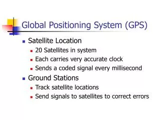

Global Positioning System (GPS)
E N D
Presentation Transcript
Global Positioning System (GPS) • Satellite Location • 20 Satellites in system • Each carries very accurate clock • Sends a coded signal every millisecond • Ground Stations • Track satellite locations • Send signals to satellites to correct errors
Local Receivers • Generate same signals as satellite • Compare differences to determine distance to satellite • Clocks not nearly as accurate • Some errors occur
GPS Location • Location found by comparing signals • Time Difference x Light Speed = Distance • Clocks accurate to nanosecond (1 x 10⁻⁹ s) • Accuracy = (186,282 mi/s)(5280 ft/mi)(1 x 10-9 s)= 0.984 ft • How do we locate to the cm?
Multiple Satellites • Two – point falls on a circle • One – distance only • Three – one of two points • 4 or more – average to eliminate error
Who Uses GPS? • Surveyors • Military • Agriculture • Railroads • Corporate fleets • Auto Security
Where Are We? • Longitude • Starts at Greenwich • 180° E or W • Longitude • Starts at Equator • 90° N or S • Moorhead • N 46°52’ Latitude, W 96°45’ Longitude
Convert to Grid • Projections • Lambert’s Conformal • Transverse Mercator • GPS uses UTM • Error limited to 1:10,000 • Computer models convert Lat, Long to universal grid
Sources of Error • Atmospheric • Built-in Compensation • Receivers • More satellites, better averaging • Selective Availability • Intentional Error – DOD • Same error at any given time • Eliminate by differential positioning
Relative Positioning • Dynamic • Two receivers, one set over known • Both collect data over time • Computer determines correction after • Real-time Kinetic • Permanent receiver over know • Transmit real-time corrections to field • Farmers, transit authorities
PDOP • Position Dilution of Precision • Numeric scale indicating precision • Depends on position, number of satellites • Satellite alignment could limit precision • PDOP = 1: Best precision • PDOP = 5: Very poor – try later