Download
1 / 22
220 likes | 239 Views
This presentation discusses NASA's involvement in direct broadcast services for climate monitoring and applications, highlighting the impact of climate change, weather variability, and Earth science research. The content covers topics such as changing planet dynamics, climate-friendly scenarios, global temperature variability, and the importance of reliable data for decision-makers. It also explores the role of satellite observations in addressing natural disasters, water management, agriculture, public health, and air quality concerns. The emphasis is on understanding, predicting, and responding to environmental changes for societal benefits through collaborative partnerships with various organizations and government agencies.

E N D
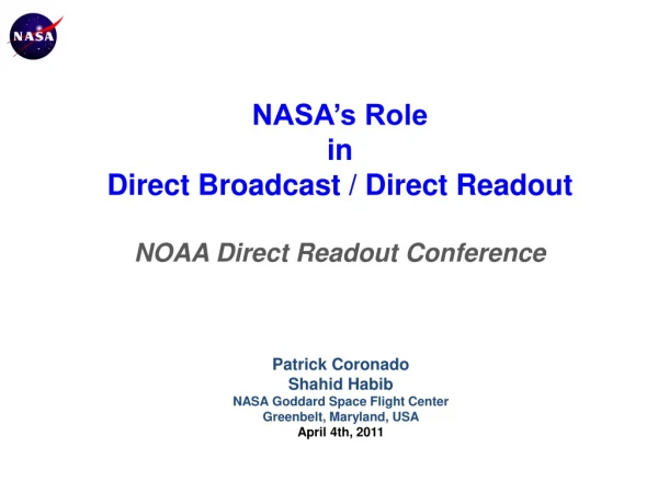
NASA’s Role in Direct Broadcast / Direct Readout NOAA Direct Readout Conference Patrick Coronado Shahid Habib NASA Goddard Space Flight Center Greenbelt, Maryland, USA April 4th, 2011
Contents • Changing Planet • Science and Applications • Implementation Process • Examples of using Global and Direct Broadcast Data Products • Summary
Earth System Scienceand Applications • Climate and weather variability can produce year-to-year swings in our economy of plus or minus $100 billion1 • Approximately 90% of presidentially declared disasters in the United States are weather-related1 • Weather affects aviation, air quality, health, ground and marine transportation, defense, agriculture, fisheries, water, energy, construction, tourism, and many other sectors of the economy – and most of these issues are regional. • Our success depends on our ability to provide decision makers with reliable and convincing information. 1Data from “Satellite Observations of the Earth’s Environment. Accelerating the Transition of Research to Operations, NRC report, 2003
Increasing Carbon Dioxide Malinkovich cycle attributed to Earth’s orbital anomalies Measured Surface Temperature the past 150 years 5 warmest years: 1998, 2002, 2003, 2004, 2005
Time to develop new technologies Time for capital stock turnover 35.00 30.00 25.00 CO2 Emissions, MT C FOSSIL FUEL SCENARIO + 3º to 5º C Temp increase by 2100 20.00 15.00 10.00 5.00 + 1º to 2.5º C 0.00 CLIMATE FRIENDLY SCENARIO 1990 2000 2020 2040 2030 2050 2080 2010 2060 2090 2100 2070 Global Temperature Variability Sir N. Stern report compares fossil-fuel Based / Climate-Friendly Scenarios Ref: Dr. Maryvonne Plessis-Fraissard World Bank Every year we pump more than six billion tones of carbon emissions into the air from burning fossil fuel, despite a general consensus that this contributes directly to climate change.
Monthly Arctic Sea Ice Extent DeviationsNovember 1978 – December 2004 Aqua/AMSRE Measurement
IPCC Report • It is very likely that human activities are causing global warming • Probable temperature rise by the end of the century will be between 1.8C and 4C (3.2 - 7.2F) • Possible temperature rise by the end of the century ranges between 1.1C and 6.4C (2 - 11.5F) • Sea levels arelikely to rise by 28.43cm • Arctic summer sea ice is likely to disappear in second half of the century • It is very likely that parts of the world will see an increase in the number of heat waves • Climate change is likely to lead to increased intensity of tropical storms Reference: IPCC February 2007 and BBC
Natural Disasters Water Management Ecosystems Agriculture Air Quality Weather Public Health Climate Earth Science and Applications Themes Unknowns Science Areas • Water and Energy Cycle • Atmospheric Composition • Carbon Cycle and Ecosystem • Climate Variability and Change • Weather • Earth Surface and Interior • Understand changing Earth • Learn causes of these changes • Response to such changes • Impact of such changes • Predict such changes ??? Application Areas
Do we have a choice? A tangled web Earthquake/Tsunami Spread of Multiple Infectious Diseases Contaminated Fresh Water Supply Occurrence of Floods Agriculture Efficiency Breathing problems Aerosol and Dust deposition and suspension Volcanic Eruption Air Quality Fires Severe Weather Public Health Electric Grid Outages Shutdown City Anthropogenic or Technological
Research, Technology & Application Process Develop scientific questions Define geophysical variables to be measured Improve Understanding, Increase Prediction Capabilities and apply for societal benefits Develop technologies to enable the measurements Develop algorithms and models to interpret the results Research Loop Reformulate scientific questions Readjust research priorities Refine measurement requirements
Research to Application – R2A GISS Model III GSFC GOCART GMAO Atmosphere Push Partnership Pull Applied Research Domain MODELS Benefits End User/ Decision Maker Aqua Terra Aura TRMM Science and Research Products User Specific Operational Products Landsat-7 QuikScat Remote Sensing Missions
Earth Science Applications - Partnerships • We partner with operational end users to adapt or adopt and demonstrate NASA research results for societal benefits NOAA International Red Cross DHS BoR DoD Chesapeake Bay Program EPA EPRI USAID World Bank USFS GEO Several International Organizations • Public agencies and organizations that have the mandate to serve the public through resource management, environmentally-related predictions and decision making
Problem Solving Observations Models Research Driven Information Knowledge Understanding of a science, art or technique Reception of intelligence Archived global observations or data sets provide necessary • In situ data • Airborne data • Historical data • Near Real Time Local observations (if available) Boundary Conditions Region of Interest Meso-sacle models Regional Observations Develop Solutions
We make use of several sensors – Sensor Web • Terra • Aqua • Aura • TRMM • LandSat • EO-1 • GRACE • ACE • SOHO Malaria Rift Valley Fever Food Security River Forecasting Floods/Land Slides Air Quality Plume Trajectory Ground Circulating Currents ….. …… Earthquake precursor
Source Regions “2001 Perfect Dust Storm” Dust Front TOMS Aerosol Index - time series Transcontinental Dust Storms Beijing, China Taklamakan Desert, China Asian Dust & microbes? Long Range Transport
AIR NOW– Adapting MODIS Aerosol Data NASA-LaRC/USEPA Air Quality Applications Group Using MODIS DB for regional air quality assessment Finding correlation between MODIS aerosol optical thickness (AOD) and EPA ground based measurements Evaluate current EPA observational network (posts) as to its ability to show regional aerosol Relate MODIS AOD observations (red dots) to EPA ground station PM measurements (black time series) Remer/GSFC
ESKOM Disaster Management Unit Weather Service Forest Department South Africa’s Fire Early Warning System Geostationary Polar Orbit ESA’s MSG End users NASA’s Terra and Aqua Direct Broadcast Receiving Station National Weather Service South Africa Advanced Fire Information System (AFIS) http://wamis.co.za Direct Broadcast Receiving Station Satellite Application Centre (SAC) South Africa Real-time feed Weather Service, South Africa MSG Fire-Algorithm (Philip Frost) GeoDatabase Rapid Response System SAC(CSIR) MODIS Fire-Algorithm E-mail Alerts SAC Rapid Response System SMS/Text messages Active Fire Locations (Text files) GeoDatabase Web Fire Mapper (http://maps.geog.umd.edu) University of Maryland Web Fire Mapper maps.geog.umd.edu
Mekong Malaria in Tak, Thailand Aqua Landsat Terra TRMM 2-Year Prediction of Malaria Cases Based on Environmental Parameters (temperature, precipitation, humidity, vegetation index) Satellite Vegetation Data used for Insecticide Planning Field data • Surface Hydrology • Climate Prediction • Vector Habitat • Transmission • Risk Prediction Kiang/GSFC
Detection of Harmful Algal Blooms • Increased frequency of harmful algal blooms or HABs is documented worldwide • Primary goal of current research: Detect these phenomena and determine potential linkages to human activities, such as enhanced nutrient inputs in coastal waters SeaWiFS Satellite Image Showing Drifter Track During HAB Event Red Tide Bloom off West Florida Steven E. Lohrenz (Univ. of Southern Miss.)
Summary • We must conduct Science for Society -- Applications • Majority of the societal problems are regional in nature • Source or cause may be far from the area under study • Both long term data sets play a vital role in establishing boundary conditions • Direct Readout offers an excellent source for investigating regional or meso-scale problems • Direct Readout provides a great opportunity to many nations where large space investments may not be easily achievable • It is an essential capability for World community to build capacity and apply space observations for societal benefits