Download
1 / 12
120 likes | 151 Views
Explore the geological history of regions through the application of laws of stratigraphy while mastering the interpretation of landscapes. Learn about topographic profiles, geologic maps, and how to locate points accurately on Earth's surface using latitude and longitude.

E N D
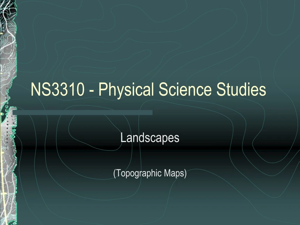
NS3310 - Physical Science Studies Landscapes (Topographic Maps)
Stratigraphy • Law of Superposition • Law of Original Horizontality • Law of Continuity • Law of Cross-Cutting Relationships
Unconformities • Parallel Unconformity • Erosional Unconformity (Disconformity) • Angular Unconformity
Block Diagrams • Block Diagrams show the geologic history of an area. • The laws of stratigraphy can be used to interpret the sequence of events in the region.
Landscapes • Tectonic Landscapes • Volcanic Landscapes • Faults and Folds • Plateaus • Glacial Landscapes • Alpine and Continental • Humid Landscapes • Siliciclastic Coastlines • Meandering Rivers • Estuaries, Bays and Barrier Islands • Arid Landscapes • Mesas and Buttes • Alluvial Fans and Playa Lakes
Location on a Map • Latitude and Longitude • Poles • Equator • Time Zones
Scale • Verbal Scale • Graphic Scale • Fractional Scale
Showing Relief on a Map • Contour Lines • Elevation • Gradients • Relief
Topographic Profiles • Vertical exaggeration = vertical grid scale / map scale
Key Concepts • Latitude and Longitude are used to specify a location on the earth’s surface. • Topographic Maps show landscape features as well as roads and landmarks. • Topographic Maps use contour lines to indicate elevation and relief. • Geologic Maps show the rock type exposed on the earth’s surface.