Download
1 / 9
90 likes | 210 Views
Geographic Information Systems (GIS) are essential tools used to store, analyze, and visualize spatial data. Whether for managing customer complaints or analyzing municipal utilities, GIS provides valuable insights across various sectors including businesses, government, and local agencies. This innovative technology enables interactive mapping and database-driven analysis, allowing users to craft 3D models and perform network analysis. Discover how GIS impacts communities like Lake Forest, where a population of 20,000 benefits from data-driven decision-making. For more information, visit www.gis.com.

E N D
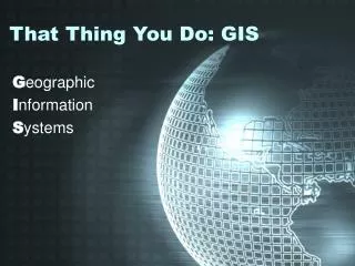
That Thing You Do: GIS Geographic Information Systems
So what exactly is GIS? • Interactive Mapping • Database Driven • Stores, Analyzes Data • For more information, visit www.gis.com
Who uses GIS? • Businesses • McDonalds’ McGIS • Walgreens • Government • Federal, State & Local • Government funded agencies • Everyone! • Ever used Mapquest?
My GIS at Lake Forest • About Lake Forest • Population = 20,000 • Area = 17 Sq. Miles
My GIS at Lake Forest • Mapping Customer Complaints
My GIS at Lake Forest • 3 Dimensional Modeling
My GIS at Lake Forest • Underground Utilities layered using GIS
My GIS at Lake Forest • Network Analysis
Laura Przybylo City of Lake Forest przybylol@cityoflakeforest.com GIS Example