Download
1 / 81
810 likes | 826 Views
This assessment focuses on the physical functioning of riparian-wetland areas to accelerate cooperative riparian restoration. It helps determine potential, issues to address, and appropriate management practices.

E N D
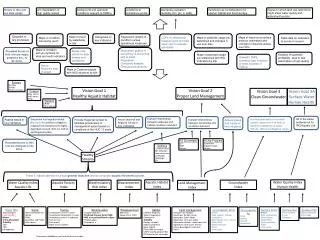
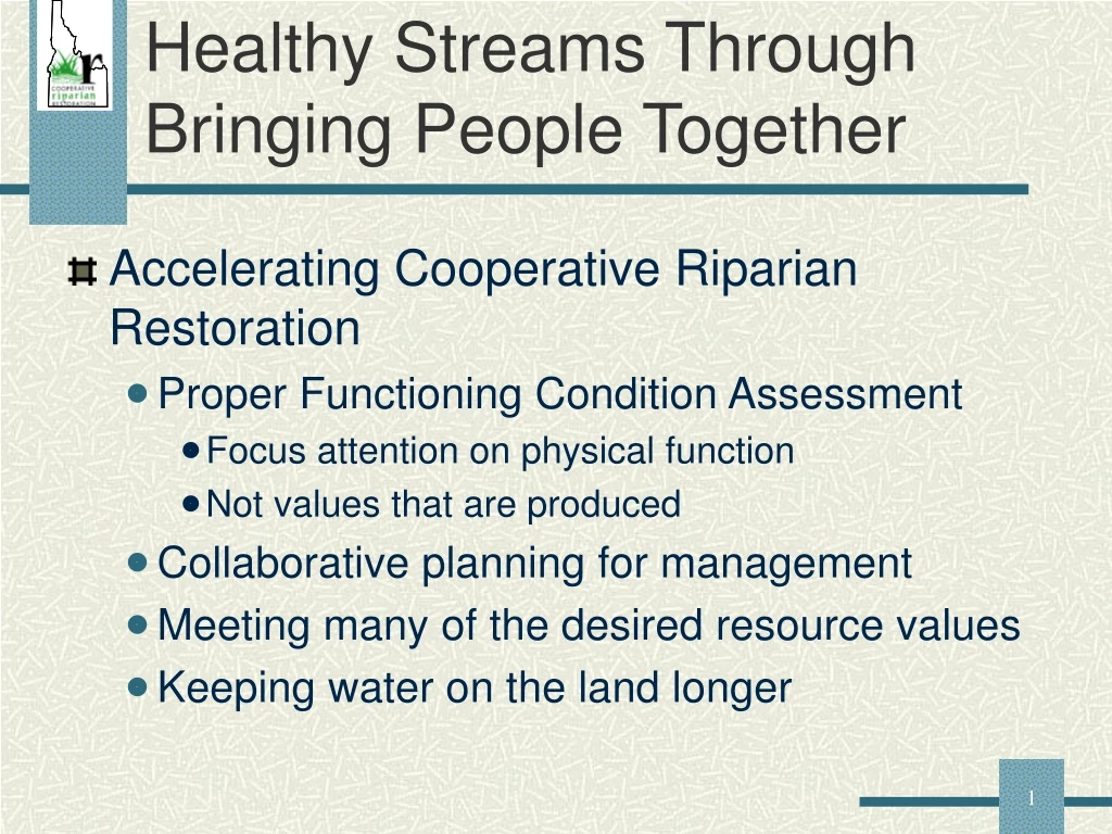
Healthy Streams Through Bringing People Together • Accelerating Cooperative Riparian Restoration • Proper Functioning Condition Assessment • Focus attention on physical function • Not values that are produced • Collaborative planning for management • Meeting many of the desired resource values • Keeping water on the land longer
Riparian Proper Functioning Condition (PFC) Assessment • PFC Method developed by BLM, USFWS, and NRCS • Running water (lotic) assessment first emphasis • 1993 First Technical Reference for lotic riparian/wetland areas
Riparian Proper Functioning Condition (PFC) Assessment • 1994 Techincal Reference 1737-11
Riparian Proper Functioning Condition (PFC) Assessment • 1996 The National Riparian Formed • BLM • Forest Service • NRCS Partner • 1998 Technical Reference 1737-15
Riparian Proper Functioning Condition (PFC) Assessment • 1999 Technical Reference 1737-16
Riparian Proper Functioning Condition Assessment • Introduce and define terms • Stratification and stream classification • Introduce the assessment process • Water and hydrologic attributes and processes
Riparian Proper Functioning Condition Assessment • Vegetation functions • Erosion and depositional processes • Summary findings • Exercise • Instructions for field excercise
Riparian Proper Functioning Condition • Term is used in two ways • Methodology for assessing the physical functioning of riparian-wetland areas • An on-the-ground condition of riparian-wetland areas
Riparian Proper Functioning Condition Assessment • Communication Tool • Common Vocabulary • Based on Valid Scientific Processes • Requires an Interdisciplinary Team
Riparian Proper Functioning Condition Assessment • Uses Inventory Data • Synthesis and Interpretation Tool • Time Specific
PFC helps • Determine potential and capability • Define issues that need to be addressed • Determine appropriate monitoring • Select appropriate management practices
PFC Helps Assess • How well the physical processes are working • How well the riparian-wetland area will withstand the energies of a 25 to 30 year event • The system’s ability to maintain and produce both physical and biological values
PFC isn’t • A replacement for biological inventory or monitoring protocols • The only methodology for determining the health of riparian or aquatic components of the riparian-wetland area
PFC may not equal • Potential Natural Community (PNC) • Desired Plant Community (DPC) • Desired Future Condition (DFC)
Wetland • Areas inundated or saturated by surface or ground water • Supports a prevalence of vegetation suited to saturated soils • Includes marshes, shallow swamps, sloughs, lakeshores, wet meadows, springs, seeps, and riparian areas
Riparian Area • Transition between the aquatic (saturated) and upland areas • Vegetation and physical (soil) characteristics reflect the influence of permanent surface or ground water • Land along streams, ponds, marshes, springs, and seeps are examples
Riparian-Wetland Types • Lotic • Flowing water systems (streams) • Defined channel • Gradient • Lentic • Standing surface water • Lakes, reservoirs, ponds, marshes • Ground Water • Seeps and springs • Bogs and wet meadows
Potential • The highest ecological status an area can attain with little influence by man.
Capability • The highest ecological status a riparian-wetland area can attain given major influences by man affecting the hydrologic processes, e.g. large dam, diversions, & highways.
Proper Functioning Condition (lotic) • Riparian-wetland areas are functioning properly when adequate vegetation, landform, or large woody debris is present to dissipate stream energy associated with high water flows,
Proper Functioning Condition (lotic) • thereby: • reduce erosion • filter sediment • capture bedload • aid floodplain development • improve flood-water retention • improve ground water recharge • stabilize stream banks • develop root masses that stabilize streambanks
Proper Functioning Condition (lotic) • Resulting in Resource Values such as: • improved water quality • habitat, water depth, duration, and temperature for fish production • waterfowl breeding and other uses • greater biodiversity
Functioning-at-Risk • Riparian-wetland areas that are in functional condition, but an existing soil, water, or vegetation attribute makes them susceptible to degradation
Functioning-at-Risk • Examples • Kentucky bluegrass • Streambank damage • Unhealthy woody vegetation
Nonfunctional • Riparian-wetland areas that clearly are NOT providing adequate vegetation, landform, or large woody debris to:
Nonfunctional • Does not dissipate stream energy associated with high flows • Does not reduce erosion
Nonfunctional • Examples • Absence of floodplains were one should be • Actively eroding streambanks • Excessive soil compaction • Upland vegetation in riparian area
Natural Riparian Resources Water Vegetation Soil, Landscape
Preparing to do aRiparian PFC Assessment • Learn all we can about riparian-wetland area • Collect existing information on stream • Obtain maps, aerial photos, inventories, etc. • Complete a preliminary stratification
Stratification • Purpose • To divide into areas with similar characteristics • Current condition and production • Site potential or capability • Limiting factors • Reference or comparison sites • Monitoring sites
Geology Stream order or confluence Valley bottom type Stream gradient Stream type (Rosgen) Soils Vegetation Hydrologic controls Land uses Stratification
Stream Classification • Ordering of streams into sets based on their similarities or relationships • Objectives • Predict river’s behavior • Provides hydraulic and sediment relationships • Extrapolate site specific data to similar streams • Consistent framework for communications
Rosgen Stream Classification • Stream Characterization • Channel Pattern • Single Thread • Multiple Thread • Anastomosed (network) • Channel Slope • Sinuosity
Rosgen Stream Classification Sinuosity Sinuosity = Stream Length/ Valley Length 1.9 370’ 195’
Rosgen Stream ClassificationSinuosity Sinuosity = Stream Length / Valley Bottom Length 1 = 100’ / 100’
Rosgen Stream ClassificationSlope or Gradient Elevation at Elevation at upper end lower end % Mean Slope = Stream channel length * 100
Rosgen Stream Classification • Stream Characterization • Channel Characteristics • Width to Depth Ratio • Entrenchment Ratio • Channel Material
Rosgen Stream Types Rosgen, 1996