Download
1 / 18
180 likes | 197 Views
Apply a state-of-the-art methodology for the estimation of environmental flows by predicting how different in-stream flows affect fish microhabitats.

E N D
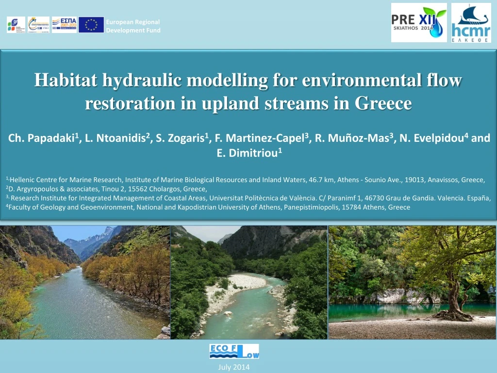
European Regional Development Fund Habitat hydraulic modelling for environmental flow restoration in upland streams in Greece Ch. Papadaki1, L. Ntoanidis2, S. Zogaris1, F. Martinez-Capel3, R. Muñoz-Mas3, N. Evelpidou4 and E. Dimitriou1 1,Hellenic Centre for Marine Research, Institute of Marine Biological Resources and Inland Waters, 46.7 km, Athens - Sounio Ave., 19013, Anavissos, Greece, 2D. Argyropoulos & associates, Tinou 2, 15562 Cholargos, Greece, 3, Research Institute for Integrated Management of Coastal Areas, UniversitatPolitècnica de València. C/ Paranimf 1, 46730 Grau de Gandia. Valencia. España, 4Faculty of Geology and Geoenvironment, National and Kapodistrian University of Athens, Panepistimiopolis, 15784 Athens, Greece Habitat hydraulic modelling for environmental flow restoration in upland streams in Greece July 2014
Apply a state-of-the-art methodology for the estimation of environmental flows by predicting how different in-stream flows affect fish microhabitats Why fish? Jowett 1992, Jageret al. 1993, Nehringand Anderson 1993, Railsback et al. 1993, Bovee et al. 1994, Stalnaker et al. 1995, Studley et al. 1995 • Aquatic species react to changes in the hydraulic environment • EU Water Framework Directive (WFD)
Basic elements of the study was used to determine characteristics of the stream, in terms of depth and velocity, as a function of discharge integrated with the hydraulic model to produce a measurement for available habitat as a function of discharge Hydraulic model One-dimensional -HEC RAS Habitat Suitability Criteria Curves originally integrated in the InstreamFlow Incremental methodology (IFIM)
A mesoscale approach for the selection of the study reaches Habitat mapping for the selection of the representative study reaches in a segment of 1.5 km length Identification of several types of hydromorphological units, (i.e. pools, runs, riffles, glides, rapids) noting their location and extent, and measuring their physical attributes (width, mean depth)
Study sites Athens
Study sites • Location: • Mountainous part of the upper Acheloos River Basin • Why these two sites? • relatively undisturbed conditions • intense debate about the construction of small hydroelectric plants in montane rivers • Main characteristics: • Summer flows are ranging from 2 to 5 m3/sec based on past measurements of Public Power Corporation of Greece. • mean elevation: 1100 m a.s.l. • average slope: 2.5 %
Tripotamo Mesochora upstream
A detailed topographic survey was made to create a digital elevation model (DEM)
A short description of the method Bed Hydraulic Model Cross roughness Riverflows HEC RAS sections Manning’s N Suitability curves Depth Velocity GIS layer GIS layer SuitabilityMaps • Weighted Usable Area • (WUA)
Cross sections Tripotamo 27 transects within a 246 m reach Mesochora Upstream 31 transects within a 348 m reach (covering the channel and floodplain)
Every cross-section was divided in sub-sections (cells) in the HEC-RAS, then the model calculates the mean velocity at each cell (at a given river flow and WSE)
Depth and mean velocity were converted into their corresponding values of habitat suitability index using habitat suitability curves extracted from former studies of trout habitat (Boove 1978)
Maps of habitat suitability (HSI)with 4 suitability classes: the aggregated Habitat Suitability Index (HSI) was calculated for each cell
Results Weighted Usable area (WUA) Ai: is the area of a cell i Ci : the aggregated HSI value of the cell i WUA = Σ(Ai× Ci) Given the present curves, we could estimate that the optimum flow corresponds to 1 m3/s in Tripotamo, and 8m3/s in Mesochora (m 2 ) (m 2 )
Conclusions • further data collection will be necessary to extract reliable conclusions about the variation of river habitats at both low and high flows • local fish species habitat suitability curves must be developed • (and this has already begun during preliminary snorkeling surveys) • further hydrological analysis to determine the relevance of these flows in the frame of the time series of natural flow regime at each site • further analysis and validation of the models
Thank you for your attention Hellenic Center for Marine Research Institute of Marine Biological Resources and Inland Waters Website:http://imbriw.hcmr.gr/en/ http://www.ecoflow.gr/en/