Download
1 / 10
100 likes | 292 Views
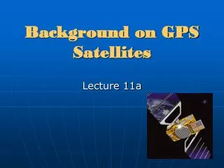
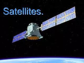
GPS and Satellites. What is GPS?. G lobal P ositioning S ystem devices can identify the location of an object anywhere on The Earth. They do this by transmitting an accurate position and time signal via wavelength. The Orbits of the satellites. Satellites.

E N D
What is GPS? • Global Positioning System devices can identify the location of an object anywhere on The Earth. They do this by transmitting an accurate position and time signal via wavelength
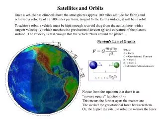
Satellites • The diagram illustrates the 24 satellites on their 6 orbits at 20,000km above the Earth. • These satellites are constantly moving on these planes. • When a person is collecting GPS data a minimum of four satellites in their vicinity is required. But, by the time their hour survey is complete more than four satellites have helped obtain the GPS readings.
Where is Ossie?! • Somewhere in Ireland Ossie is recording a GPS coordinate while standing in some town in Ireland. • Giving the vastness of Ireland how can we locate Ossie?
How to find Ossie… • Well, it is all down to the intersection of satellites. • As you may recall from Venn Diagrams in classroom the area where the sets overlap is the area which is common in both.
Venn Diagrams and Sets From the diagram above the numbers 5 and 6 can be identified as the area which is in common with the two sets in this Venn Diagram.
Intersection of satellites and GPS readings • According to the illustration the point where all four of the satellites interest is somewhere in Athlone. • There would be more satellites in space but these four satellites are the ones that are in the vicinity of Ireland at this point in time. • The time it takes the wavelength to get from each of the satellites will locate the distance of where Ossie is located in relation to the satellites. • This area of intersection may still be vast in size. With additional satellites the location of Ossie can be identified within a few centimetres.