Download
1 / 65
670 likes | 898 Views
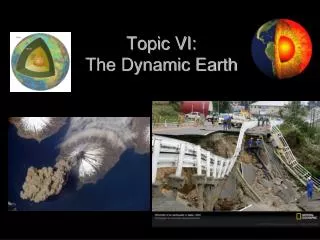
Topic VI: The Dynamic Earth. Earth’s Four Zones: . Crust : the outside or surface—made up of mostly igneous rock with a thin shell of sedimentary rock on the outside. Crust types…. Oceanic Crust : only about 5 miles thin—made up of basalt (dense)

E N D
Earth’s Four Zones: • Crust: the outside or surface—made up of mostly igneous rock with a thin shell of sedimentary rock on the outside
Crust types…. • Oceanic Crust: only about 5 miles thin—made up of basalt (dense) • Continental Crust: about 30 miles thick—made up of granite (less dense)
Mantle: the middle layer that the crust “floats” on—divided into 3 parts: • Rigid Mantle • Asthenosphere • Stiffer Mantle **the Lithosphere is the crust AND rigid mantle **the MOHO—boundary between the crust and mantle
Inner Core: solid because of high pressure / made of nickel and iron
Why Nickel & Iron?..... • Meteorites!—more dense, sank to “center” of young molten Earth
What happens the deeper you go in the Earth? • Density, temperature, pressure all increase
How do we know what Earth’s interior looks like? • Study Earthquake waves (like an ultrasound)
What does the heat from the core cause? • Continental Drift: the lithosphere (crust) is made up of solid plates that move (plate tectonics)
Plates move because of heat that rises in the Asthenosphere due to density differences—called convection currents or cells
Plate Boundaries: areas on Earth where two plates are interacting with each other **this is Where most Volcanoes / EQ’s / and Mountains Occur
Three Types of Plate Boundaries: • Convergent: plates collide (subduction zone—plate moves under another)
Hotspots: places in Earth’s crust with an unusually high heat flow (Hawaii)
**plates move only a few centimeters per year—about as fast as your fingernails grow
Evidence of Plate Motion: • Deformed (messed up) Rock Strata (layers) **because of gravity, all sedimentary rocks formed in horizontal layers (law of original horizontality)
If not horizontal, the layers can be… • Tilted: force pushes rock layers from 1 side Force
Folded: forces push on rock layers from 2 sides (rocks are not broken) Force Force
Faulted: a break in the earth’s crust where movement occurs Force Force
Displaced Fossils: marine fossils found in rock layers several hundred feet above sea level (uplift)
Subsidence: sinking of rock layers (fossils being found deep underground)
Rock layers and fossils may be correlated (matched-up) across oceans
Evidence (fossils / rock) indicates that the climate was much different (coal found in Antarctica) Coal forms in a tropical swamp
New York: Salt and Marine Fossils Evaporated Ocean
Evidence of Sea-Floor Spreading: • Radioactive Dating found that as rocks get closer to the continents they get older **more on this later
Reversal of Magnetic Polarity: the Earth’s magnetic poles switch from time to time—this can be seen because of iron in basaltic ocean rocks
**Iron (magnetic) in the liquid basalt line up like compass needles (stays when it hardens)
Mid-Ocean Ridge Cold Hot Cold Old Young Old
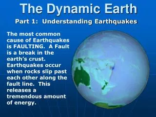
Earthquakes • Earthquakes: a sudden shaking or trembling of rock layers along a fault line or plate boundary (the rock layers slip)
**energy is released and is transmitted by 2 types of waves • Primary or “P” waves (Compressional ) • Secondary or “S” waves (Shear waves )
Seismic Stations: located around the world—used to study earthquake waves. • Seismographs: device that records the vibrations of earthquake waves waves
P-waves: travel “phastest” so it arrives at the seismic stations “phirst” • Can travel through solid rock & magma (can travel through ALL Layers)
S-waves: travels slower so it arrives at seismic stations second • Only travel through SOLIDS—all layers EXCEPT LIQUID outer core and Solid Inner Core
Origin Time (what time EQ began at the epicenter) Epicenter Felt
Epicenter: point on the surface (city) directly above the focus(in the interior where the earthquake occurs) **P & S waves travel out in all directions
How is an earthquake’s epicenter located on a map? • Get P and S wave arrival times from 3different seismic stations
Using the ESRT’s, find the distances from the epicenter for each station **The larger difference between P and S wave arrival times means that the seismic station is farther away from the epicenter