Download
1 / 14
140 likes | 258 Views
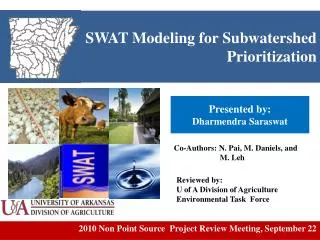
This progress report details the accomplishments from the SWAT training workshop held in Bushland, Texas, focusing on the Calera Watershed. The training involved hands-on experience with the SWAT model, analyzing GIS data, delineating the watershed into 39 sub-basins, and preparing necessary input data for the model. The report identifies gaps in data concerning land use, soils, and weather necessary for robust modeling. Future steps include refining delineation and completing calibration and validation for effective water resource management in the Calera Aquifer region.

E N D
ROBERTO AVILA SWAT TRAINING-MODELING • PROGRESS REPORT INTERNATIONAL WORKSHOP: BUSHLAND TEXAS JULY 7-9, 2010
ACCOMPLISHMENTS • Received training by creating and running the SWAT model using example data • Analyzed available GIS data and assessed additional GIS data requirements necessary to create a SWAT project for the Calera Watershed • Using the ArcSWAT interface for ArcGIS, he delineated the watershed into 39 sub-basins from the available 90 m DEM • Reformatted the land use and soils data in GIS necessary to meet model input requirements – to create HRUs • Compiled and reformatted the daily precipitation and temperature data necessary to meet model input requirements • 3 stations within the watershed • Ran the model for the time period 1977-2001, and analyzed the output of the simulated hydrological variables
SWAT MODELING DATA GAPS • Land Use • Specific land use (especially crops), in GIS format • Management schedules • including planting dates • tillage operations and dates • fertilizer and chemical application dates and rates • harvest dates and production • grazing rates and dates • conservation practices, if applicable • Irrigation • Irrigation sources including wells, canals reservoirs, etc. • Irrigation rates and application dates
SWAT MODELING DATA GAPS • Soils – properties • Soil hydrologic group • number of layers • for each layer • the layer depth • bulk density • available water content • hydraulic conductivity • percent organic carbon • Percent clay, silt, sand and rock fragment • If available; • Weather data • Additional weather data even if it its not for long-term • Any runoff data, and long-term annual ET average for the Calera Aquifer region
NEXT STEPS • Refine the project • Delineation • HRUs • Calibration and Validation • Scenarios
Location Central, MX Drainage Area 1900 km2 Land use ~50% agricultural Rangeland Rotations unknown Soils Names Properties unknown CALERA AQUIFER WATERSHED
NEXT STEPS • Calibration and Validation • Scenarios
Acknowledgements Alan Verser for his invaluable assistance with this SWAT project
Thank You! Questions?