Download
1 / 12
130 likes | 387 Views
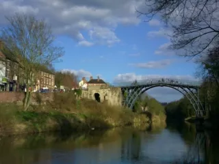
G.C.S.E Controlled Assessment. An investigation of river erosion along a chosen stretch of river. River Characteristics. Any river may be divided into upper, middle and lower course

E N D
G.C.S.EControlled Assessment An investigation of river erosion along a chosen stretch of river
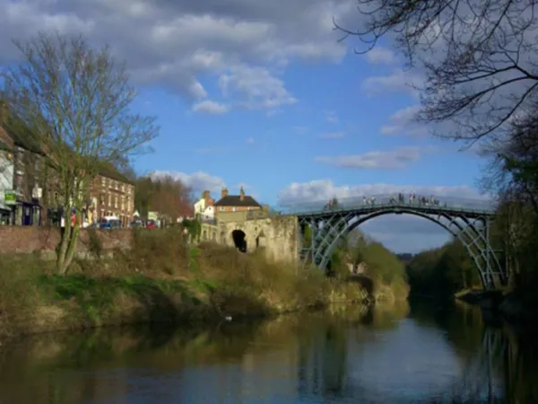
River Characteristics • Any river may be divided into upper, middle and lower course • A river’s characteristics can be measured by systematic sampling that allows the investigation of continuous changes as distance increases from the source of a river.
Width • This is measured by placing one end of a measuring tape at one side of the river channel, then pulling it out to the other side of the channel. The distance is the width of the river.
Depth • This is completed using a metre stick. The stick is lowered into the water every 25cm, and the distance from the top of the water to the river bed gives the depth. An average of the readings is taken.
Cross-Sectional Area • This is calculated by multiplying the width of the river by the average depth.
Velocity • The speed of the river is measured using a flow meter that when dipped into the river gives a digital reading of the speed of flow in metres per second.
Discharge • This is the amount of water passing any point in a river in a certain time, normally given as cubic metres of water per second (cumecs). • It is calculated by multiplying the cross-sectional area of a river channel at a certain point by the speed (velocity) of the river at the same point.
Load • This is the material carried by a river, ranging from large boulders to small sediment. We focus on the load lying on the river bed – bed load. This is measured for size and roundness. By measuring the longest axis of 15-20 random samples at each site an idea of size is obtained. Each stone is also given a rating for roundness.
Gradient • The gradient of a river is a measure ofhow steeply it loses height. It is measured using a clinometer over a 10m stretch of the river. Ranging poles mark out the stretch of river. The clinometer is placed against the height mark on one pole and the angle is observed of the height mark on the other pole.
Health and Safety Considerations • Weather This is an important aspect of fieldwork – having a reliable and up-to-date forecast for the study area. This will ensure that you are adequately prepared by wearing the correct clothing and that inclement weather will not become a hazard e.g in the upper course of a river • Equipment It is essential that all data collection equipment is used solely for the purpose itwas designed for e.g ranging poles
Clothing Safety helmets will protect the head when working around, and in, the river. Wellington boats help keep feet relatively dry and provide some grip on the slippery rocks/banks of the river. Waterproof jackets and trousers are essential to remain dry and warm. These should be worn over thin layers of clothing. • Movement in the river When collecting data in the river it is important to modify our movement over slippery rocks and the river bed. Three points of contact should be kept in the river channel and the use of a walking pole can also help maintain balance.
Site access This should be planned in advance – pre site visit. Access should be assessed in relation to safety e.g the difficulty of steep river banks or deep sections or the river and the correct permission must be sought on private property. Sections of erosion should also be identified e.g river cliffs/undercutting as banks can collapse • First Aid provision It is essential to be familiar with the person in charge of firstaid and to make them aware of any medication that may be required during data collection e.g inhalers