Download
1 / 16
160 likes | 174 Views
The GLC 2000 Land Cover Database of North America Workshop focused on accuracy assessment and confidence building in land cover classification. This workshop analyzed various land cover maps, including GLC 2000-IGBP, GLC 2000-UMD, and GLC 2000-UMB, to evaluate the depiction of forest areas in North America. The outputs of the workshop included a comprehensive land cover database of North America in 2000.

E N D
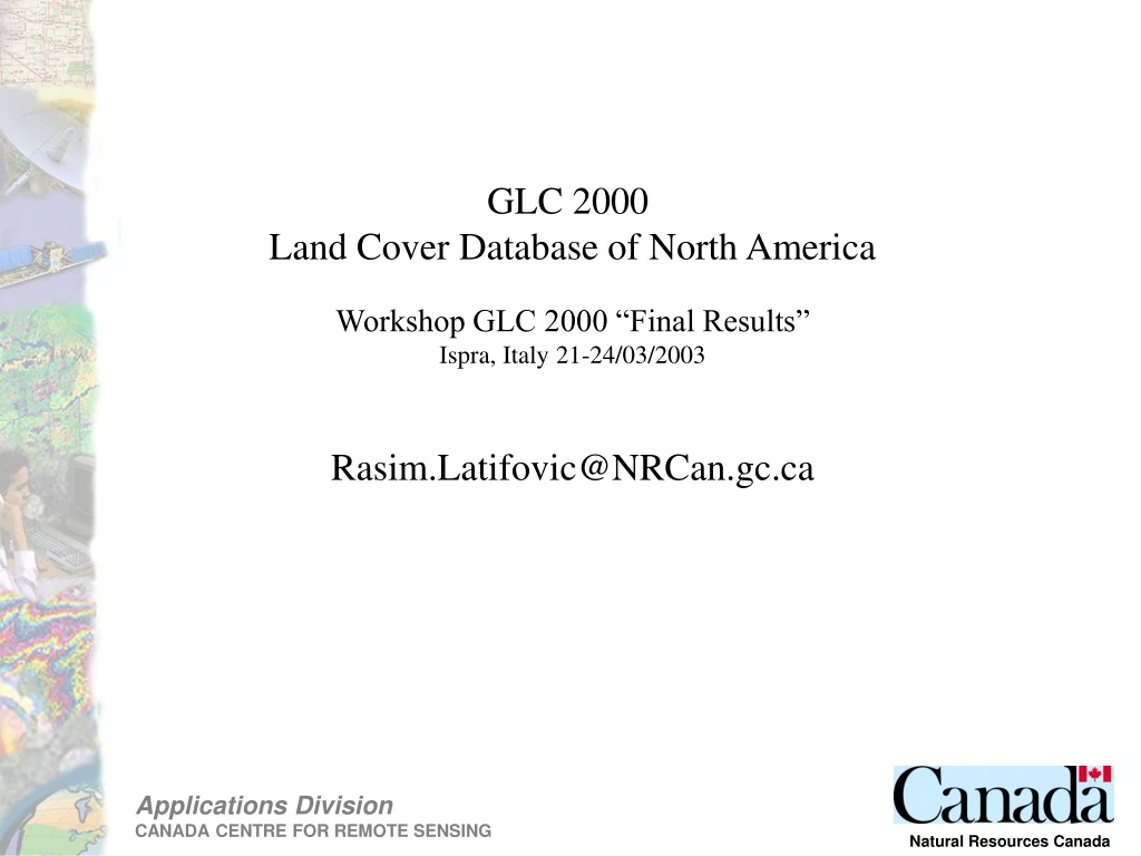
GLC 2000 Land Cover Database of North America Workshop GLC 2000 “Final Results” Ispra, Italy 21-24/03/2003 Rasim.Latifovic@NRCan.gc.ca
Accuracy assessment: Building confidence Classification R:NIR; G:SWIR; B:RED
Quantitative accuracy assessment Reference data
Source: Centre de foresterie des Laurentides Service canadien des forêts
Distribution of homogeneity in 1km pixel over Canada Dominant fraction in 1km pixel
Areal comparison ·The IGBP Global land cover classification produced by U.S. Geological Survey for the International Geosphere-Biosphere Programme IGBP (Loveland et al., 2000); ·The UMd global land cover classification produced by University Maryland (Hansen et al., 2000); ·The UMB MODIS Global land cover classification produced by University Boston (Hodges 2001); and ·GLC2000_NA North America 2000 Land Cover database, here presented
Per pixel comparison Agreement in depicting the forest area over North America among analysed land cover maps GLC 2000NA -IGBP GLC 2000NA -UMD Agreement Disagreement non-forest / forest Disagreement forest / non-forest GLC 2000NA -UMB
Outputs Database: NRCan and USGS (2003) Land Cover Database of North America 2000 ftp://ftp.ccrs.nrcan.gc.ca/ftp/ad/EMS/Landcover2000/ Papers in progress: Latifovic, R., Zhu, Z., Cihlar,J., Giri, C., and Olthof, I. (2003)Land Cover Mapping of North America - Global Land Cover 2000 Latifovic, R., Olthof, I., and Fraser R., Assessing the accuracy of remote sensing based large scaled land cover data
CCRS Team USGS Team Rasim Latifovic Cihlar Josef Jean Beaubien Ian Olthof Robert Fraser Zhi-Liang Zhu Chandra Giri Acknowledgements We also gratefully acknowledge the support of the Canadian Space Agency for this study, the Centre national d’etudes spatiales and European Union for the provision of 2000 VGT data and National Aeronautic and Space Administration for the provision of some ETM+ scenes as part of Satellite Information for the Landcover of Canada (SILC) project.