Download
1 / 14
140 likes | 245 Views
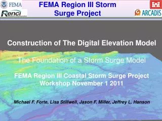
FEMA Region III Storm Surge Project. Digital Elevation Model (DEM). Team Members Lisa Stillwell (RENCI) – “many hats” archival/clipping,meeting Margaret Blanchard (RENCI) - data archival/spatial adjustments Jason Miller (NAP) District lead – data gathering C. Rourke (NAP)

E N D
FEMA Region III Storm Surge Project Digital Elevation Model (DEM) Team Members Lisa Stillwell (RENCI) – “many hats” archival/clipping,meeting Margaret Blanchard (RENCI) -data archival/spatial adjustments Jason Miller (NAP) District lead – data gathering C. Rourke (NAP) Mark Hudgins (NAO) Paul Moye (NAO) Jared Scott (NAB) Micah Callough (ARCADIS) – spatial adjusments/processing Rob Floyd (ARCADIS) – spatial adjusments/processing Peter Estes (ARCADIS) – spatial adjusments/processing Michael Forte Region III DEM Team USACE-FRF June 4, 2009 RENCI, Chapel Hill, NC
Data Collection • Over 125 datasets evaluated (~2 TB) • Data types: • TIFF • CSV • ASCII GRID • Raster • FLT • LAS • Shapefile • SID • and more… • Projections: • NJ, DE, MD, VA State Plane • UTM • Datums: • NAD27 • NAD83 • Tidal (MSL, MLLW, etc.)
Conversion Horizontal Conversion Geographic Coordinates Decimal Degrees (NAD83) Elevation/depth relative to North American Vertical Datum 1988 (NAVD88) meters
Conversion Vertical Datum Conversion V – Datum (NOAA) Unit Conversion Mean Lower Low water MLLW North American Vertical Datum of 1988 NAVD 88 m
Datums…Datums…units…units…. Conversion From Various Horizontal &Vertical Datums North American Datum 1983 Geographic Decimal Degrees (NAD83) Elevation/depth relative to North American Vertical Datum 1988 (NAVD88) meters
Many Point and Grid Datasets With Varying Resolution Are Interpolated to 10m resolution
FEMA Region 3 Divided Into 20 Tiles For Efficient Data Management Certain Tiles Contain Up To 6 Gigabytes Of Data.
IVS 3-D Fledermaus Interpolation Parameters Weighted Moving Average Algorithm Search weight – average value of 3-5 used Grid Cell Size - 0.00011degrees ~10m cell size Iterative process obtaining best result given data density and Quality Ex. Search Weight
Tile 4 offset (Ocean City NJ Area) Thorough Visual inspection identifies anomalies Error in lidar information (fixed with updated Cape May Lidar)
Lidar Datasets Need Clipping Around land/water interface Profile displays jump of 2.5m