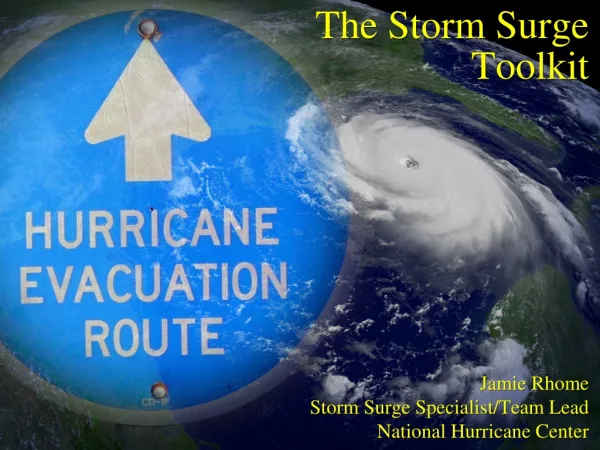
Storm Surge Products
200 likes | 496 Views
Storm Surge Products . John Cole Warning Coordination Meteorologist NWS Morehead City/Newport NC. Acknowledgements: Jamie Rhome and Rick Knabb (NHC), Mark Willis (WFO MHX ), . Outline. SLOSH (MOM’s and MEOW’s) Operational SLOSH (Deterministic Runs) Probability Surge (P Surge)

Storm Surge Products
E N D
Presentation Transcript
Storm Surge Products John Cole Warning Coordination Meteorologist NWS Morehead City/Newport NC Acknowledgements: Jamie Rhome and Rick Knabb (NHC), Mark Willis (WFO MHX),
Outline • SLOSH (MOM’s and MEOW’s) • Operational SLOSH (Deterministic Runs) • Probability Surge (P Surge) • Surge Product Timeline
The Storm Surge Threat • An abnormal rise in water generated by a storm, over and above the astronomical tide • A temporary rise in sea level that, in effect, moves the coastline inland • Caused primarily by force of wind blowing across water surface • Contribution by low pressure within center of storm is minimal • Influenced greatly by track, RMW, size, coastline characteristics.
SLOSH Sea, Lake, and Overland Surge from Hurricanes
MEOW’s and MOM’s • Maximum Envelope of Water • Composite of maximum storm surge heights at each grid cell using hypothetical hurricanes run with the same: • Category • Forward Speed • Landfall Direction • Initial Tide Levels • Composite achieved by reviewing parallel tracks that make landfall at different locations • Over 80 MEOWs have been generated for some basins • Maximum of MEOWs • Composite of the maximum storm surge height for all hurricanes of a given category • Disregards forward speed, landfall direction, landfall location, etc. • Only 5 MOMs per basin, i.e. one per storm category
CAT 3 MEOW Surge Inundation
Little Washington: We have a Hurricane Problem. Maximum Storm Surge Potential for Cat 3 Storm (worst case scenario of all motions, sizes, etc)
Deterministic Runs and SLOSH SLOSH will be run approximately 36 hours prior to arrival of TS winds Why only 36 hours? NHC track/intensity errors Run every 6 hours coinciding with full advisory package Animated gifs Still images of Envelope of High Water (EOHW) Rexfiles Shapefiles (GIS) Output placed on FTP site: ftp.nhc.noaa.gov www.nhc.noaa.gov/ftp New SLOSH display program that incorporates GIS layer capabilities, the ability to show inundation (which will also be mentioned in the advisories), more control over fonts/colors, and better briefing capabilities.
Deterministic SLOSH Run Rmax=25 mi (forecast) Surge Based on NHC - 12 hr. Advisory
ACTUAL TRACK TRACK FORECAST 133 mph, 933 mb. Actual Hurricane Track 30 mi. E of 12 hr. Advisory Forecast Track
Rmax=40 mi Surge Based on NHC Storm Best Track
Probabilistic Storm Surge takes this error into account Use an ensemble of SLOSH runs to create probabilistic storm surge (p-surge) Atlas of pre-computed surge maps based on: Different directions of motion Different landfall locations Different intensities Different storm sizes Different forward speeds Based on statistics of NHC error including: along track error (timing), cross track (location), intensity, and Rmax error.
PSURGE for IVAN • Similar probabilities near Mobile Bay as around Pensacola
Beginning when the NHC issues a hurricane watch or warning for the continental US Available approx. 1-2 hours after the advisory release time When and Where is P-Surge Available? http://www.weather.gov/mdl/psurge/active.php P-Surge Available in 1 foot increments from 2 to 25 feet.
Thank you… • More details and products available at: • http://slosh.nws.noaa.gov/sloshPub/ (SLOSH) • www.hurricanes.gov(National Hurricane Center) • www.weather.gov (NWS homepage) John Cole 252-223-5122 ext 223 John.Cole@noaa.gov