Download
1 / 18
180 likes | 285 Views
Australia in Asia and the Pacific. Physical Geography. Definitions. Relief Landform Topography. Plains. Areas of lowlands with gentle slopes and low hills Sometimes associated with river systems Alluvial soil deposited during flooding of rivers over centuries produces rich, fertile soil

E N D
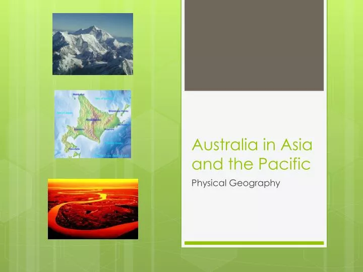
Australia in Asia and the Pacific Physical Geography
Definitions Relief Landform Topography
Plains • Areas of lowlands with gentle slopes and low hills • Sometimes associated with river systems • Alluvial soil deposited during flooding of rivers over centuries produces rich, fertile soil • Majority of people live here • Support intensive agriculture
Examples Indo-Gangetic Plain Kanto Plain
Structural Plains Example: Inner China • No deposits of alluvial soil • Severe climate • No potential for agriculture
Hill Lands/Uplands • Moderate elevation • India and China hill lands are plateaus • Most productive agricultural land consists of pockets of alluvium along the valley floors • China south of Yangtze River mainly hill lands
Example India
Mountains and Plateaus • Main areas are around Pakistan and India • Ranges radiate from Pamir Mountains in northern Pakistan and Afghanistan • Continue south easterly direction through SE Asia, Indonesia and PNG • World’s highest mountain: Everest 8848m, 93 other mountains over 7300m
Mountains and Plateaus • Soil is shallow and will not grow enough crops to support a lot of people • Scattered, isolated villages • Broken by deep river valleys • Mountains act as a barrier to movement and communication, divide countries from each other and form a natural line of defence
Rivers • Focus of human settlement • Deposits of alluvium created favourable conditions for intensive agriculture • Outside of main rivers catchments are generally too small to create extensive flood plains • Rivers act as international boundaries, transport routes, irrigation water
Examples Mekong Cambodia
Deltas • Triangular shaped area of land at the mouth of a river with large deposits of alluvium
Examples Ganges River Delta - Bangladesh
Islands • Many countries that consist solely of islands, eg: Indonesia, Japan, Philippines, New Zealand, Pacific islands • Travelling between islands difficult • Goods and people transported by boat • Isolation
Pacific Islands Melanesia • Islands lie along edge of Australian tectonic plate • Made from fragments of land that were once part of Gondwana Polynesia • Islands are result of volcanoes that have risen from a hot spot on the sea floor • Surrounded by coral reefs
Example Bora Bora French Polynesia