Download
1 / 16
170 likes | 431 Views
Unit 1 Regions of Texas. 7 th Grade History Bonham Middle School 2014-2015. Table of Contents. Key Knowledge Regions Map Regions Cities Rivers Natural and historic landmarks Mountains and Basins Region Characteristics Great Plains Characteristics

E N D
Unit 1 Regions of Texas 7th Grade History Bonham Middle School 2014-2015
Table of Contents • Key Knowledge • Regions Map • Regions • Cities • Rivers • Natural and historic landmarks • Mountains and Basins Region Characteristics • Great Plains Characteristics • North Central Plains Characteristics • Coastal Plains Characteristics
Key knowledge • Region – a spatial area of the Earth’s surface that is defined by common properties • Physical and human characteristics – physical characteristics of places include landforms and soils, bodies and sources of water, vegetation, climate, weather patterns, and animal life. Human characteristics of places include the language, religion, political systems, economic systems, population distribution, ethnicity, age, and standards of living.
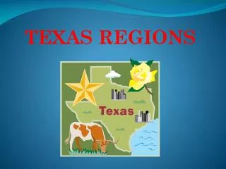
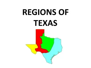
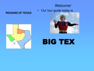
Regions • Mountains and Basins • Great Plains • North Central Plains • Coastal Plains
Cities • Austin • San Antonio • Houston • Ft. Worth • Dallas • El Paso • Brownsville • Lubbock • Amarillo • Midland • Odessa
Rivers • Sabine • Red • Rio Grande • Nueces • Neches • Trinity • Brazos • Colorado • Guadalupe • San Antonio • Pecos
Natural and historic landmarks • Llano Estacado (natural) • Balcones Escarpment (natural) • Palo Duro Canyon (natural)
Mountains and Basins Characteristics • Physical characteristics • River, deserts • Climate – hot days, cold nights, hot short summers, cold winters • Human characteristics • Industries – cattle, sheep and goat ranching • Big Bend National Park • Dams
Great Plains Characteristics • Physical characteristics • Canyons, escarpments, plains, aquifers, plateaus • Climate – hot summers, cold winters • Human characteristics • Irrigation • Industries – ranching and agriculture • Wind farms • Dams – Amistad • Oil/gas and ranching
North Central Plains Characteristics • Physical characteristics • Rolling prairies, a few rivers • Climate – hot short summer, cool to cold winters • Human characteristics • Industries – agriculture, manufacturing, military defense
Coastal Plains Characteristics. • Physical characteristics • Plains, desert, hills, Balcones Escarpment • All rivers flow through this region • Wrong way rivers that take water from driest part of state to the wettest part of the state • Climate – mild • Human Characteristics • Highway systems • Location of most major cities • Industries – timber, agriculture, oil and gas, technology, industry, education • Dams • Fishing, tourism, intra-coastal waterway