Download
1 / 14
140 likes | 220 Views
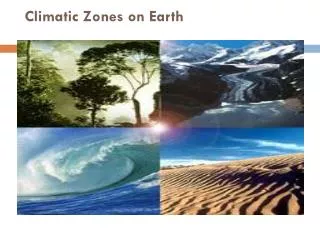
Explore Ecuador's diverse climate zones and their impact on agriculture, focusing on factors like temperature, rainfall, and sunshine hours. Discuss various agroclimatic classification systems and methods for effective agricultural mapping.

E N D
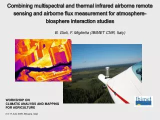
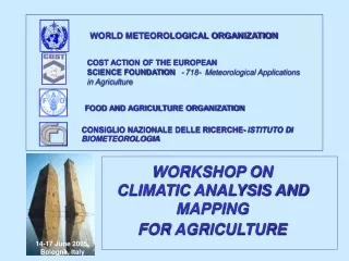
WORLD METEOROLOGICAL ORGANIZATION INSTITUTO NACIONAL DE METEOROLOGIA E HIDROLOGIA - INAMHI Workshop on Climatic Analysis and Mapping for Agriculture Bologna – Italy 14 – 16 June, 2005 Manuel Carvajal Ecuador
Geographical Location • Northwest of South America • Equator Line • Between Colombia and Peru, East of the Pacific Ocean
Continental Topographical Conditions • Elevation from 0 to 6310 m.a.s.l. • Three Natural regions • A) Coastal • Mostly Plain • B) Highland • “Andes Cordillera” • C) Amazon • Plain • Rain forest A C B
Climatic classificationby Thornthwaite ETo Main factor • Water Balance P = ET + ▲HS + I + E Where: P = rainfall ( irrigation if it is done) ET = evapotranspiration ▲HS = Variation of water soil storage I = deep soil infiltration E = runoff • Hydric Index (lm) • Im = 100 E – 60 D • ETo • Where: • E = Humidity excess/annual • D= Humidity deficit/annual
Seasonal Humidity Variation With 2 components Aridity Index (Ia) = 100D/ ETP Humidity Index (Ih) = 100E/ ETP “Climatic Type” by Thornthwaite • Thermal Efficiency Index • On function of yearly ETP (mm) • Less than 142 to more than 1140 • Thermal Efficiency Concentration (TEC) • TEC = ETP summer months x 1000ETP annual
Highly Humid (Tropical rain forest) Humid (Tropical monsoon) Sub humid (Tropical grassland) Arid Temperate humid Temperate dry Humid high barren plain “Climatic Type” by Thornthwaite 7 2 1 6 3 4 5
Crop Information Common Name: Banana Scientific Name: Musa paradisiaca Vegetative Cycle (months):12 Elevation (m.a.s.l.):Max. 1500 Min. 5 Opt. 150 Rainfall (mm): 500 to 1200 annual Temperature (°C): Max. 32 Min. 15 Opt. 22 to 26 Sunshine (sun hours):1200 annual m.a.s.l = meters above sea level; Max = maximum; Min= minimum; Opt = Optimum
Crop Information Common Name: Roses & Carnation Scientific Name: Vegetative Cycle (months):12 Elevation (m.a.s.l.):Max. 2000 Min. 2800 Opt. 2400 Rainfall (mm): 1000 Temperature (°C): Max. 25 Min. 10 Opt. 13 to 21 Sunshine (sun hours):1200 - 1400 m.a.s.l = meter above sea level; Max = maximum; Min; minimum; Opt = Optimum
Crop Information Common name: cassava Scientific name: Manihot utilissima Vegetative cycle (months): 9 Elevation (m.A.S.L.):Max. 2500 min. 200 opt. 500 Rainfall (mm):1200 Temperature (°C): max. 32 min. 15 opt. 20 to 26 Sunshine (sun hours):1500 M.A.S.L = meter above sea level; Max = maximum; Min; Minimum; Opt = optimum
Questions • Elevation (m.a.s.l.) and temperature has direct relation • Is temperature range and sunshine the main factors? Because from our point of view: • Rainfall rarely be in amount enough to satisfy water crop necessities, so rainfall is something like a guide but not a constraint parameter?
Questions • Humidity has relationship with rainfall and temperature, is necessary to agroclimatic classification? • Soil variability is not a constraint, because it could be improved. • What do you think about agroclimatic classification by Bagnolus – Gaussen or Koppen?
Questions Italian Scientifics…. is Pavari or Pignatti a methods than can be applied to our particular conditions? • THEN…. Please answer the questions and help us to make a good work in agroclimatic mapping
INAMHI www.inamhi.gov.ec AGROMETEOROLOGY agromet@inamhi.gov.ec carvajal@inamhi.gov.ec Iñaquito N14-36 y corea Quito - Ecuador Telefax: (593-2) 224 1874 / 224 8268 Thanks