Ups & Downs for Oceanography
This educational series emphasizes the significance of oceanographic data in our daily lives by exploring the tools and methods used for data collection, specifically focusing on glider technology. Participants will learn about various types of oceanographic data, such as temperature, currents, and biological phenomena, and how these are accessible online. By the end of the series, attendees will be equipped to provide real-world examples of oceanographic impacts, navigate relevant websites, and apply this knowledge in practical scenarios.
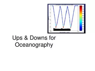

Ups & Downs for Oceanography
E N D
Presentation Transcript
I. Summary This series is directed at • Establishing importance of oceanographic data in everyday life • Exploring instrumentation/platforms available, focusing on gliders • Discussing examples of data collected • Practicing applying such data
II. Objectives After this series, you will be • Able to provide a suite of examples of oceanographic data that impact ‘day-to-day’ life • Able to discuss the various tools available to collect such data • Able to navigate various web sites to obtain and use such data
III. Materials Computer lab with internet access Handouts: 1. URL maps 2. “Ideas” sheet
IV. Procedure • Lecture on the topic • Consult ‘URL’ map to navigate various relevant sites • Consult ‘ideas’ sheet or come up with own ideas to complete project
Projects (choose 1) “Wow! Fishing at xxx is going to be great today” “Why is the beach water cold today?” “We just lost $xxxx because the captain did not check at prevailing currents”
A. Important B. Data needed Beach erosion Shipping
B. Real time or near-real time data • Why? • Collection • Storage • Analysis
2. Data collection • Use assets • Land based • At sea • Satellites
Retrieval facilitated 3. Storage
III. Parameters A. CTD B. Backscatter C. DO D. Wave data E. Current vector F. Other
IV. Collection methods A. Mission requirements B. Endurance
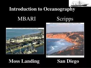
V. Some of the assets • Satellites • Cabled seafloor observatory • Land based radar • Vehicles • Ships • Submersibles
Sea surface temperature anomalies – latitude/temperature anomalies
http://marine.rutgers.edu/cool/codar/real-time/archiveviewer_lr.phphttp://marine.rutgers.edu/cool/codar/real-time/archiveviewer_lr.php
Manned • Un-manned • ROV • AUV
ii. An AUV – Glider • ‘Unpowered’ vehicle • High endurance • Adequate payload capacity • Programmable • Communicates
VII. What is a glider? Magic!?
Forward motion without power! • Takes instructions and reports back
VIII. Types of data • Real time • Discrete/’cleaned’ • Archived