Spatial Variability in Precision Agriculture
160 likes | 384 Views
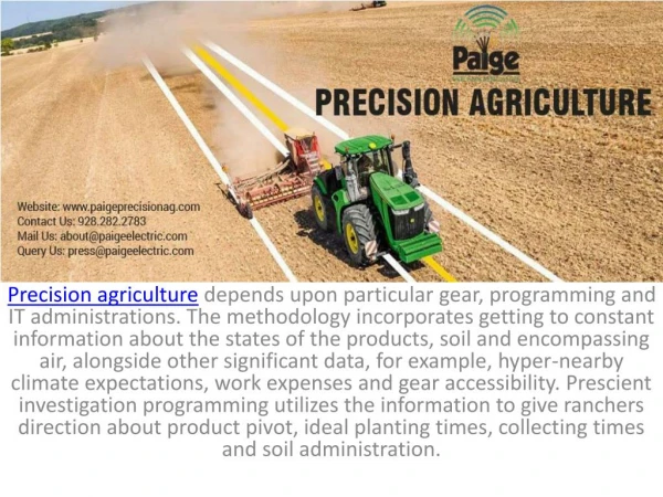
Discover how recognizing spatial variability in production units can optimize crop production by tailoring inputs to specific needs within fields. Learn about natural and acquired factors influencing soil properties and how precision agriculture enhances management techniques.

Spatial Variability in Precision Agriculture
E N D
Presentation Transcript
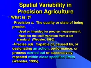
Spatial Variability in Precision Agriculture What is it? Precision n. The quality or state of being precise. Used or intended for precise measurement. Made for the least variation from a set standard. (Webster, 1995) Precise adj. Capable of, caused by, or designating an action, performance, or process carried out or successively repeated within close specified limits (Webster, 1995).
Precision Agriculture What is it? Precision in management? Knowing more precisely the size of fields, level of inputs (rates), yields, $ costs, and $ returns?
Precision Agriculture What is it? Management of production inputs in relation to more precisely delineated needs (Johnson, 1/18/01). Recognizes spatial variability of production needs within a population of production units, where production units are smaller than they used to be.
Spatial variability among production units. • What is the size of a production unit? • Depends on the enterprise. • Small dairy = single dairy animal. • Wagoner Ranch, TX = 7,000 – 8,000 acre wheat field. • Agronomic units = “fields”
Spatial variability among production units. • What causes field delineation. • Natural boundaries. • Rivers • Rock out-crops • Political boundaries. • Roads • Survey units • Land ownership • Consolidation
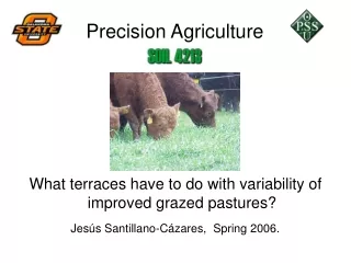
Spatial variability among production units. • What causes field delineation. • Soil productivity appropriate to the crop (e.g. bottom land for alfalfa). • Size determined by land use • Government acreage restrictions (CRP) • Tees, fairways, greens • Size that is “convenient” to the operation for administering production inputs. • Cultivation • Planting • Harvesting (mowing) • Fertilizing • Irrigation • Etc.
Spatial variability (macro) for agronomic land use. • Inherent (natural). • Related to soil productivity and soil forming factors • Time • Parent material • Climate • Vegetation • Slope
Usually not acidic Usually acidic Soil acidity and Oklahoma rainfall
Spatial variability (macro) for agronomic land use. • Acquired (use induced). • Influence of historical crop production on soil properties. • Alfalfa vs. wheat for acidification and soil organic matter. • Fertilizer use and change in soil fertility (Garfield County).
Acquired spatial variability (macro). C.V. = 54
Garfield Co. Farmer’s Use of Soil Testing and Fertilization Previous Grain Normal Fertilization Soil Test Results Acres Soil Test Yield N P O K O pH N P K 2 5 2 Sur Sub 86* 1981 35 100 46 4.5 24 54 106 445 118* 1981 25 100 46 4.9 53 108 88 411 30* 1989 34 100 46 5.1 44 43 75 377 65* 26 100 46 4.4 115 118 159 752 50 1981 29 100 46 5.5 0 70 44 551 *Savings from no fertilizer to four fields = 299 acres X $24.50/acre, = $7,325 Acquired spatial variability (macro).
Terrace 4 Upland Terrace 5 Terrace 3 Field Average Field Range pH=5.7 BI = 6.9 N = 20 P = 23 K = 397 pH=5.4 BI = 6.8 N = 20 P = 31 K = 522 pH=5.5 BI = 6.7 N = 12 P = 32 K = 423 pH=4.6 BI = 6.8 N = 16 P = 65 K = 310 “Bad Spot” pH=5.2 BI = 6.8 N = 14 P = 49 K = 408 pH=4.6-5.7 BI = 6.6-7.0 N = 10-20 P = 23-93 K = 310-522 pH=7.3 BI = -- N = 67 P = 22 K = 343 Terrace 2 Terrace 1 Bottom pH=5.3 BI = 6.9 N = 10 P = 44 K = 415 pH=5.2 BI = 7.0 N = 13 P = 54 K = 354 pH=4.9 BI = 6.6 N = 10 P = 93 K = 435 Acquired spatial variability (micro).
Acquired spatial variability (micro). “Cow Pocks” in wheat pasture