Download
1 / 17
170 likes | 190 Views
This project aims to assess water chemistry, bacteria levels, and dissolved oxygen changes in Upper Illinois River Watershed and Upper White River Basin. It involves sampling water at various sites, analyzing constituent loads, evaluating trends, and ensuring compliance with water quality standards.

E N D
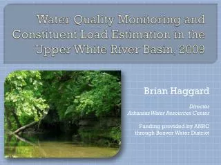
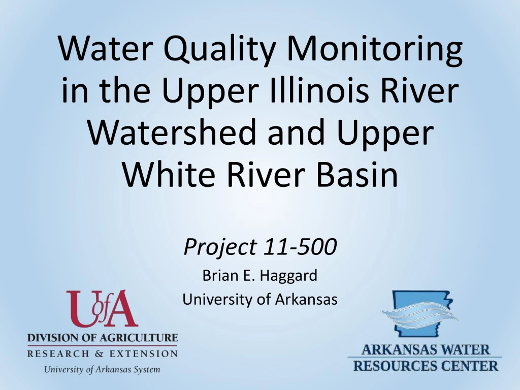
Water Quality Monitoring in the Upper Illinois River Watershed and Upper White River Basin Project 11-500 Brian E. Haggard University of Arkansas
Objectives Collect water samples at ~20 sites to estimate constituent loads and evaluate trends in water chemistry, Upper Illinois River Watershed (UIRW) and Upper White River Basin (UWRB). Collect water samples across eight streams to measure E. coli and evaluated numbers against applicable water quality standards, UIRW 3. Evaluate dissolved oxygen changes from day to night in Leatherwood Creek and Kings River, UWRB. WATER CHEMISTRY BACTERIA DO
Water Chemistry Methods • Collect water samples at 19 sites from July 2011 – June 2015 • 46 samples per project year during base and storm flow conditions • Grab samples either in-stream or using alpha style horizontal sampler • Analyzed for TN, NO3-N, TP, SRP, TSS, Cl and SO4 following approved QAPP • Estimated constituent loads using regression models that account for discharge, time and seasonality • Evaluated monotonic trends or linear increases or decreases in constituent concentrations after adjusting for flow
Water Chemistry Results: How do loads vary spatially? – Constituent loads generally following discharge patterns, that is increase with increasing discharge. – Constituent loads tend to increase with increasing watershed area. – Constituent loads reflect watershed specific hydrology and characteristics. – So, what we are really interested in is how are things changing over time?
Water Chemistry Results – Trends for N, P, TSS
Water Chemistry Results – Trends for Cl & SO4
Objective 2Pathogens Sampling Sites 10 Reaches 7 Streams Osage Creek Little Osage Creek Spring Creek Clear Creek Muddy Fork Baron Fork Illinois River
Pathogens Methods • Water samples collected 8 or 9 times during the primary contract season (May through September) in 2012, 2013 and 2014. • Water samples collected in sterile containers and kept on ice. • Water samples were analyzed for E. coli in AWRC WQ laboratory, certified for bacteria. • E. coli enumerated as most probable number of colonies per 100 mL (col/100 mL). • Data evaluated against APCEC Regulation 2, based on percent exceeding applicable value. • We delineated the riparian zone to estimate land use, e.g. pasture land use close to the stream within a select distance upstream.
Pathogens Results • APCEC Regulation 2 • E. coli numbers should not exceed the applicable limit* in more than 25% of the water samples collected in no less than 8 samples taken during the primary contact season. • The *limits are: • Illinois River (ecologically sensitive waterbody, Neosho Mucket mussel) 298 col/100 mL • All other streams 410 col/100 mL
Pathogens Results • Applicable Limits: • Illinois River • 298 col/100 mL • All other streams 410 col/100 mL • E. coli numbers varied • Spatially • Temporally • Little Osage Creek had E. coli numbers that exceeded limit. • One site on the Illinois River exceeded limit every year (IR028D) • Overall, thumbs up!
Pathogens Why are these sites high? • We looked at the relation between elevated levels of E. coli and pasture land in riparian zone. • The only sites where E. coli numbers exceeded the applicable limits had more than 50% pasture land in the riparian zone. • E. coli seems to be a localized issue, likely driven by cattle access to streams. • There is on-going work trying to track the source.
Objective 3Dissolved OxygenSampling Sites Two Sampling Sites Two Reaches Two Different Streams Leatherwood Creek Kings River
Dissolved Oxygen Methods • Data sondes were calibrated in the lab. • Data sondes were deployed in the field and record data for over 72 hours. • Four deployments per year (for 3 years): • two during critical season (May-Sept) • two during primary season (Sept-May) • Measured dissolved oxygen, pH, temperature and conductivity
Primary season Dissolved Oxygen Results APCEC Regulation 2 Primary Season – all streams must have DO at or above 6 mg/L Critical Season – the DO limit is based on watershed area - LC01 - 5 mg/L (<10 mi2, flow >1 cfs) - LC02 - 5 mg/L (10 to 100 mi2) - KR01 - 5 mg/L (10 to 100 mi2) - KR02 – 6 mg/L (>100 mi2) An example of the data is displayed to the right, showing diurnal DO variations and how sites and reaches differ. Critical season
3 Dissolved Oxygen 1 Results • APCEC Regulation 2 • Primary Season – all streams must have DO at or above 6 mg/L. • Critical Season – the DO limit is based on watershed area • - LC01 - 5 mg/L (<10 mi2, flow >1cfs) • - LC02 - 5 mg/L (10 to 100 mi2) • - KR01 - 5 mg/L (10 to 100 mi2) • - KR02 – 6 mg/L (>100 mi2) • Potential DO violations were variable across sites and reaches. 0 2
All of this data was collected through the 319 program funding. Questions?