Download
1 / 12
140 likes | 182 Views
Learn how land is divided for ownership, methods of describing real estate, survey preparation, and land measurement units. Understand metes-and-bounds, lot-and-block, and rectangular survey descriptions.

E N D
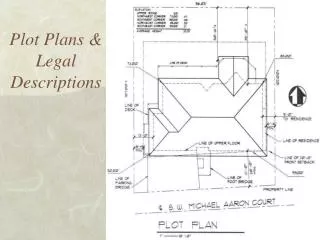
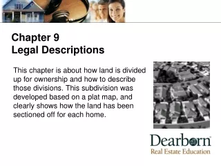
Chapter 9Legal Descriptions This chapter is about how land is divided up for ownership and how to describe those divisions. This subdivision was developed based on a plat map, and clearly shows how the land has been sectioned off for each home.
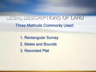
9 Legal Descriptions • Learning objectives • Identify the three methods used to describe real estate • Describe how a survey is prepared • Explain how to read a rectangular survey description • Distinguish the various units of land measurement
9 Legal Descriptions • Definition of a legal description • Land units and measurement • Methods of describing real estate • Metes-and-bounds • Lot and block • Rectangular (or government) survey
9 Legal Descriptions Georgia Legal Description Concepts Headrights area Militia districts Districts and land lots
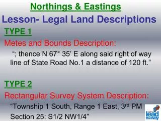
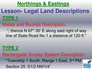
9 Legal Descriptions Metes-and-bounds • Monuments • Point of beginning (POB) • Compass bearings (calls of direction) • Distance along straight lines
9 Legal Descriptions Georgia’s Metes and Bounds description must contain: State and county District and land lot Section or militia district Point of beginning Compass directions moving to a point of closure
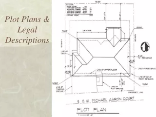
9 Legal Descriptions Lot-and-block or recorded plat map • Concepts • Plat map • Lot • Block • Property Identifiers • Lot and block numbers • Name of the subdivision (book and page) • State and county
9 Legal Descriptions • Measuring elevations • Air lots • Datum • Benchmarks
9 Legal Descriptions • Methods of describing real estate • Rectangular (government) survey • Not used in Georgia, but used in Alabama and the States west of the Appalachian Mountains • Based on a comprehensive government survey • Divides state into square grids • Baselines (latitude lines) • Meridians (longitude lines)
9 Legal Descriptions • Land units and measurements • Mile • Square mile • Acre