Download
1 / 15
150 likes | 566 Views
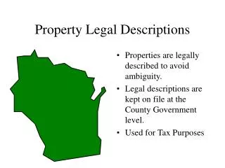
Objectives. Identify and define range and township lines, townships, and sections. Identify specific land locations from a legal land description.Determine acreages from legal land descriptions.Analyze a soil survey map for specific information.. Key Terms. Range linesTownship linesSection, half-section, quarter-sectionSoil survey map.

E N D
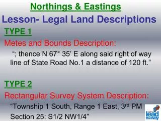
1. Soil Survey Reports andLegal Land Descriptions
3. Key Terms Range lines
Township lines
Section, half-section, quarter-section
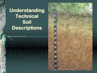
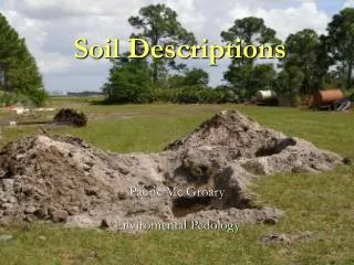
Soil survey map
5. Numbering Sections Within Township
6. 36 Sections Make Up One Township
7. Dividing Sections into Smaller Tracts
12. Determining Acreages from Legal Land Descriptions
14. Legal Land Descriptions A � N1/2, Sec 2, R23W, T3S
B � SW1/4, NW1/4, Sec 12, R23W, T3S
C � S1/2 Sec 3 and N1/2, N1/2, Sec 10, R23W, T3S
D � N1/2, SE1/4, NE1/4 Sec 11, R23W, T3S