Download
1 / 36
380 likes | 502 Views
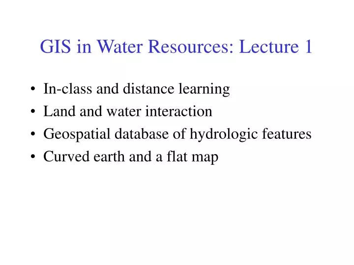
GIS in Water Resources: Lecture 1. In-class and distance learning Land and water interaction Geospatial database of hydrologic features Curved earth and a flat map. GIS in Water Resources: Lecture 1. In-class and distance learning Geospatial database of hydrologic features

E N D
GIS in Water Resources: Lecture 1 • In-class and distance learning • Land and water interaction • Geospatial database of hydrologic features • Curved earth and a flat map
GIS in Water Resources: Lecture 1 • In-class and distance learning • Geospatial database of hydrologic features • Arc Hydro data model • Curved earth and a flat map
Lectures Powerpoint slides Video streaming Readings “Modeling our World” Narratives written around slides Homework Term Project Oral presentation HTML report Class Interaction Email Chat room Examinations Midterm, final Six Basic Course Elements
Instructor-Centered Presentation Community-Centered Presentation Learning Styles Instructor Student
Traditional Classroom Community Inside and Outside The Classroom University Without Walls
Utah State University Dr David Tarboton – terrain analysis with digital elevation models Dr Tarboton will present lectures on Oct 8-10
GIS in Water Resources: Lecture 1 • In-class and distance learning • Geospatial database of hydrologic features • Arc Hydro data model • Curved earth and a flat map
Levels of Analysis:Relational Database Relational Linkages Spatial Attributes Water Right Locations Descriptive Attributes
Spatial Data: Vector format Vector data are defined spatially: (x1,y1) Point - a pair of x and y coordinates vertex Line - a sequence of points Node Polygon - a closed set of lines
Raster and Vector Data Raster data are described by a cell grid, one value per cell Vector Raster Point Line Zone of cells Polygon
How do we combine these data? Digital Elevation Models Streams Watersheds Waterbodies
GIS in Water Resources: Lecture 1 • In-class and distance learning • Geospatial database of hydrologic features • Arc Hydro data model • Curved earth and a flat map
What is Arc Hydro? • An data infrastructure for storing and integrating hydro data within ArcGIS • A set of hydro objects built on top of ArcObjects • A set of standardized attributes • A vocabulary for describing data (glossary) • A toolset for implementing the data model
Drainage System Hydro Network Flow Time Time Series Hydrography Channel System Arc Hydro Components
Arc Hydro Data Model Hydrology Hydrography
Data Model Based on Inventory Streams Drainage Areas Hydrography Channels Terrain Surfaces Rainfall Response Digital Orthophotos
Data Model Based on Behavior Follow a drop of water from where it falls on the land, to the stream, and all the way to the ocean.
Integrating Data Inventory using a Behavioral Model Relationships between objects linked by tracing path of water movement
Arc Hydro Framework dataset for USA at 1:500,000 scale Built from USGS and National Weather Service data MonitoringPoints are USGS stream gaging stations Arc Hydro USA
Building lot Arc Hydro Applied to an Urban Subdivision Storm sewer Grassy swale
Arc Hydro Framework Input Data Watersheds Waterbody Streams Monitoring Points
Hydrologic Cataloging Units (HUCS) Hydrologic Unit Code = 12100203 Guadalupe Basin (4 HUC’s) • 2015 HUC’s cover continental US • average area ~ 1 county
HydroNetwork through Canyon Lake Flowlines through water body Generic Junction (for topological connection of edges)
GIS in Water Resources: Lecture 1 • In-class and distance learning • Geospatial database of hydrologic features • Arc Hydro data model • Curved earth and a flat map
Origin of Geographic Coordinates Equator (0,0) Prime Meridian
Latitude and Longitude Longitude line (Meridian) N W E S Range: 180ºW - 0º - 180ºE Latitude line (Parallel) N W E S (0ºN, 0ºE) Equator, Prime Meridian Range: 90ºS - 0º - 90ºN
Latitude and Longitude in North America Austin: (30°N, 98°W) Logan: (42°N, 112°W) 60 N 30 N 60 W 120 W 90 W 0 N
Map Projection Flat Map Cartesian coordinates: x,y (Easting & Northing) Curved Earth Geographic coordinates: f, l (Latitude & Longitude)
Representative Fraction Globe distanceEarth distance = Earth to Globe to Map Map Projection: Map Scale: Scale Factor Map distanceGlobe distance = (e.g. 0.9996) (e.g. 1:24,000)
Coordinate Systems A planar coordinate system is defined by a pair of orthogonal (x,y) axes drawn through an origin Y X Origin (xo,yo) (fo,lo)