Download
1 / 6
60 likes | 172 Views
This document summarizes the enhancements made to the Road Weather Forecast System (RWFS) as presented by Bill Myers at the NCAR MDSS Stakeholder Meeting in Boulder, CO, on October 20, 2005. Key features include the introduction of a Frost Deposition Module, improved snowfall estimation, refined insolation data sources, and better handling of extreme weather events. The report highlights ongoing upgrades and model error correction strategies that enhance forecasting accuracy, particularly in predicting bridge frost and road conditions.

E N D
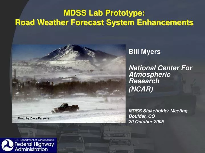
MDSS Lab Prototype: Road Weather Forecast System Enhancements Bill Myers National Center For Atmospheric Research (NCAR) MDSS Stakeholder Meeting Boulder, CO 20 October 2005 Photo by Dave Parsons
Overview • RWFS Enhancements through Release 4 • Frost Deposition Module • Ongoing Upgrades
RWFS Enhancements in Release 4.0 • Precip variables’ weights hard-wired • Quality observations lacking • Spatial and inter-variable consistency • Added snow-water ratio algorithm • Better snowfall estimate • Refined insolation data sources (model blend) • Model data compared to Vaisala sensor • MOS forecast interpolation • Improved forecasts where interpolation makes sense
Frost Deposition Module • Based on ISU Frost Deposition Model (Tina Greenfield) • Tries to capture uncertainty in forecast • Frost deposition is very sensitive • Monte Carlo approach varies air temperature, dew point, and wind speed • Fuzzy logic interest map applied to each permutation’s output • More credence given to larger frost accumulations • Likelihood of forecast permutation related to weight • Output • Frost potential (not probability of frost) • Can be thresholded to provided Low, Medium, High alerts
Frost Module Operations Bridge Temp Forecasts Weather Forecasts Road Temp Forecasts Bridge Frost Forecasts MDSS 4.0 generates Bridge Frost forecasts though Road Frost could be calculated • Road Condition Forecasts • Road Temp • Bridge Temp • Bridge Frost Potential
Ongoing Weather Forecast Improvements • Improved forecasts of extreme events • Model Error Correction (MEC) captures rare events better than current scheme (Dynamic MOS) • Incorporation of radar data • Precipitation extrapolation provides better forecast in first few hours (than model/RWIS combination) • Need to trend toward model forecast seamlessly • Provides improved spatial pseudo-observations • Higher resolution NCEP data • GRIB-2 encoded model data is available • Fully uncompressed data sets are unwieldy • Need tools to extract only relevant information