Download
1 / 20
200 likes | 312 Views
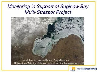
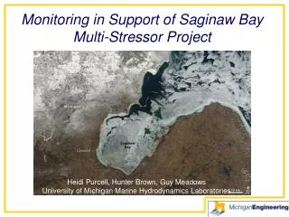
Monitoring in Support of Saginaw Bay Multi-Stressor Project. Heidi Purcell, Hunter Brown, Guy Meadows University of Michigan Marine Hydrodynamics Laboratories. GLOS Enhanced Tributary Monitoring to Support AOCs and LaMPs. St. Louis Estuary, Lake Superior University of Minnesota, Duluth.

E N D
Monitoring in Support of Saginaw Bay Multi-Stressor Project Heidi Purcell, Hunter Brown, Guy Meadows University of Michigan Marine Hydrodynamics Laboratories
GLOS Enhanced Tributary Monitoring to Support AOCs and LaMPs St. Louis Estuary, Lake Superior University of Minnesota, Duluth Green Bay, Lake Michigan University of Wisconsin, Mil Saginaw Bay, Lake Huron University of Michigan MHL Genesee River, Lake Ontario NY-GLRC Maumee Bay, Lake Erie University of Michigan CILER Remote Sensing Maps of all 5 sites
Scope of Work • Towed Side Scan Sonar for Large Areas • Automated Underwater Vehicles for Details : • Photographs • Sonar • Turbidity • CDOM • Chlorophyll • BathyBoat with Horizontal Looking Sonar for Larval Fish Surveys in Shallow Water (experimental) • Use Data Collected to aid in Ground Truthing the Remote Sensing Images
10 Days on the Water Data Analysis
Autonomous Surface Vessel Remote Limnology Sensor Platform Manual Control Option Real-Time Telemetry and Data Stream The BathyBoat ASVfor Hydrographic Mapping BathyBoat trials in Lake St. Clair
Modified-V design with thumb screw access Direction indicator (paint scheme) BathyBoat Hull • GPS/radio dome • Fiberglass/ Aluminum composite
Digi XTend-PKG RF Modem 1 Watt / 900MHz RS-232 communication up to ½ mile with original 6” antenna Futaba 3PM RC System (~100 yard range) Communications
Honeywell HMR330 ±1.0° Heading Accuracy ±0.1° Resolution ±60 ° Roll / Pitch 24mA @ 5 VDC Finding Home: Compass & GPS • Garmin 16HVS GPS
Michigan Wisconsin Field Trials • North Slope, Alaska
July 6-14, 2009 Deadhorse Helmerick’s ANWR (Arctic National Wildlife Refuge) 12 Lakes Surveyed & Categorized Field Trials: Alaska
Both manual control (RC) and RF control were demonstrated from a low-flying helicopter while performing data logging. Airborne Control Testing
Quick Specs: • Color and B&W cameras • Imagenex Sidescan Sonar • Hard Drive: 64 GB, solid state • Batteries: 190 Watt-Hours (Approx. 6-8 hours run time, 24 linear km) • Weight: 70lbs
Mission Planning (VectorMap by OceanServer Technology, Inc.)
Imagenex Sidescan Sonar * Triple frequency (260 kHz, 330 kHz, 770 kHz) * High resolution 1000 data points per side * Up to 400 m (1300’) total coverage * 300 m depth rating * LAN compatible * Built-in track plotter * Built-in internal GPS receiver * Record to .XTF in real-time
Thunder Bay National Marine Sanctuary Alpena, MI 8/17/2008 – 8/23/2008 Alpena Ann Arbor (Shipwreck in Thunder Bay, MI, 2008)
The View from the Bottom Site: C2 Depth: 12.2 m Site: B2 Depth: 46.5 m