Download
1 / 9
90 likes | 314 Views
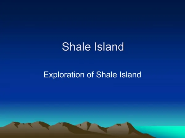
Shale Island. Exploration of Shale Island. Shale Island. Shale Island is but a small outcrop of shale located in southern Monterey Bay, California in a region referred to as by “shale beds” which covers an area of approximately 3.7 square miles (Iampietro et at, 2005).

E N D
Shale Island Exploration of Shale Island
Shale Island • Shale Island is but a small outcrop of shale located in southern Monterey Bay, California in a region referred to as by “shale beds” which covers an area of approximately 3.7 square miles (Iampietro et at, 2005). • “Shale Island” protrudes from the muddy bay bottom and lies 0.55 miles directly east of the Coast Guard Pier, and approximately 0.5 miles north of Del Monte Beach in Monterey Bay, California. Shale Island measures approximately 475 feet long and over 125 feet wide at its widest exposure in the eastern-most part of the outcrop.
Location of Shale Island Source: Google Earth
Bathymetry Bathymetry source: Seafloor Mapping Lab, CSUMB
Shale Island and its origin • Shale is a fine-grained, sedimentary rock that is derived from the erosion of previously eroded rocks by processes of weathering and erosion. Shale is usually composed of silt, clay-sized particles, and often microscopic marine organisms such as diatoms or their siliceous remains. • The beds comprising Shale Island are identified by laminated semi-siliceous mudstone and sandy siltstone (Iampietro et al, 2005) and have been mapped by geologist as belonging to the Monterey Formation of middle Miocene age, making it roughly 15 million years old. • The sediments comprising Shale Island were deposited in middle Miocene time in a deep basin that covered most of the bay. However, in Miocene times, the bay was located near the vicinity of the Transverse Range in Southern California (Greene, 1977).
In the vicinity of Shale Island the strata are mostly flat-lying with a very gentle dip to the west-northwest. This, however, changes abruptly in proximity to faults and granitic rocks in the bay where the strata are complexly folded (Greene, 1970). • Shale Island and the numerous outcrops that comprise the Del Monte shale beds are habitats for numerous species of rockfish, perch, lingcod, and many benthic invertebrates including the plumose anemone and many species of sponges, cup corals, anemones, and sea stars (Iampietro et al, 2005; Kvitek et al, 2003).
Partial Geologic Explanation Source: U.S. Geological Survey Open-File Report 97-30
References Cited • Clark, J. C., Dupré, W. R., and Rosenberg, L. I, 1977. Geologic Map of the Monterey and Seaside 7.5 Minute Quadrangles, Monterey County: A Digital Database. U.S. Geological Survey Open-File Report 97-30. • Greene, H.G. 1990. Regional tectonics and structural evolution of the Monterey Bay region, central California, in Garrison, R.E., Greene, H.G., Hicks, K.R., Weber, G.E., and Wright, T.L. (eds.), Geology and Tectonics of the Central California Coastal Region, San Francisco to Monterey: Pacific Section, American Association of Petroleum Geologists Volume and Guidebook GB 67, p. 31-56. • Greene, H. G., 1977. Geology of the Monterey Bay Region, U. S Geological Survey Open-file Report 77-718. • Greene, H.G. 1970. Geology of Southern Monterey Bay and its Relationship to the Ground Water Basin and Salt Water Intrusion. U. S. Geological Survey Open-file Report 70-141. • Iampietro, P. J., Kvitek, R. G., and Morris, E., 2005. Recent advances in automated genus-specific marine habitat mapping enabled by high-resolution multibeam bathymetry. Marine Technology Society v.39 no.3, 83-93. • Kvitek, R. G., Iampietro, P. J., and Summers-Morris, E., 2003. NOAA Technical Report: Integrated spatial data modeling tools for auto-classification and delineation of species-specific habitat maps from high-resolution, digital hydrographic data. NOAA Final Report: NOAA Award No. NA17OC2586. • The bathymetry of Shale Island was obtained from data downloaded from the Seafloor Mapping Lab of the California State University Monterey Bay (CSUMB).